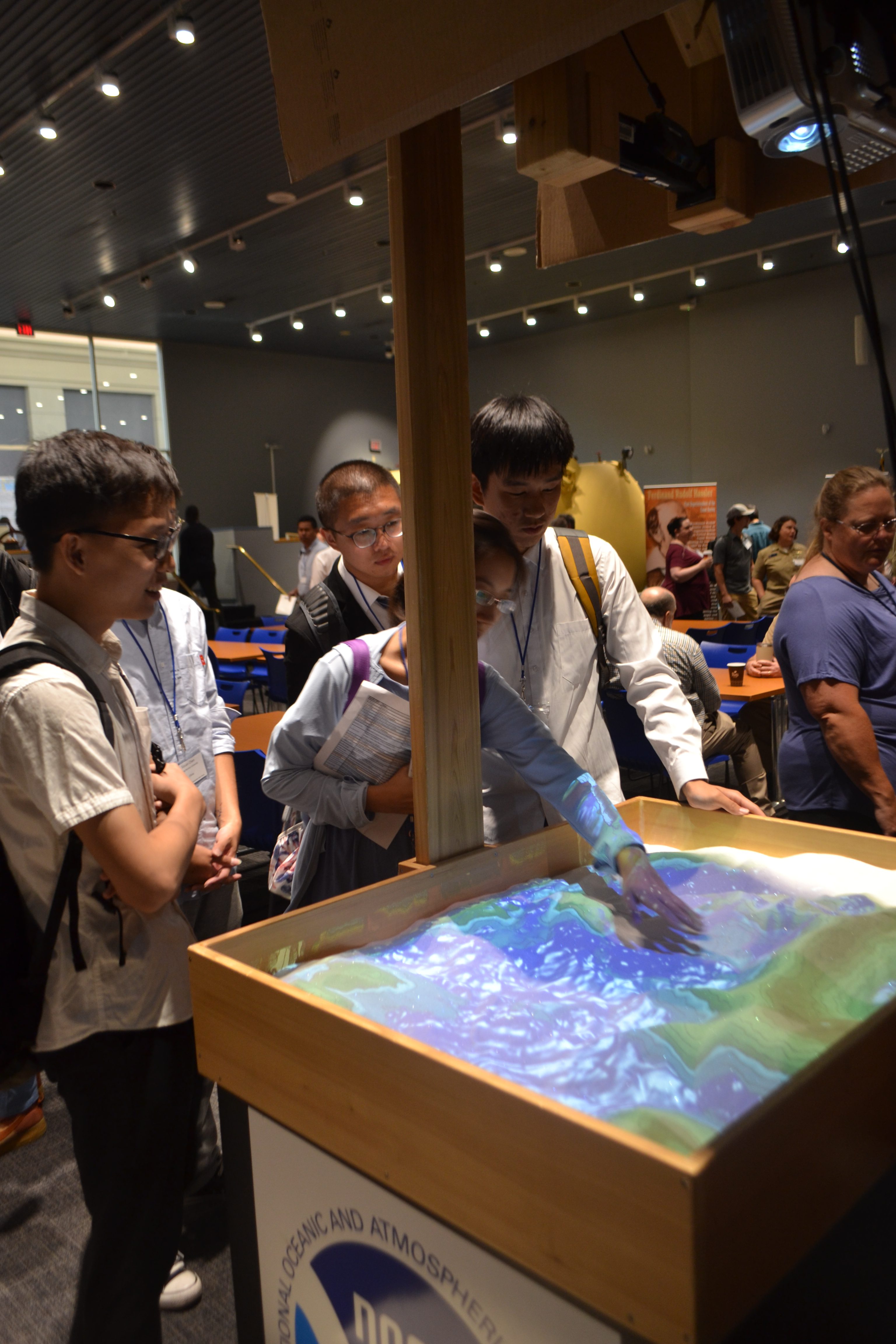
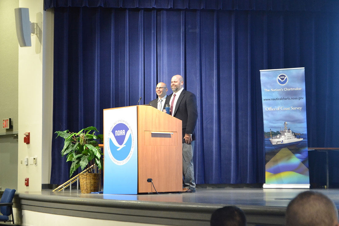
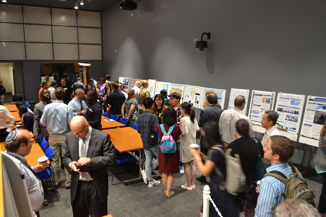
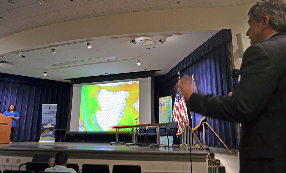
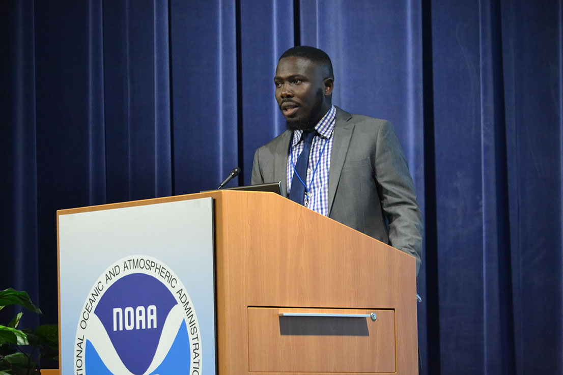
Last week, NOAA’s Office of Coast Survey held its third annual Nautical Cartography Open House welcoming over 250 attendees from the U.S. and abroad. Government agencies, industry and academic partners, and members of the public attended. The open house featured posters, presentations, tours, and exhibits centered around four themes: Bathymetric Databases, Custom Charting, Innovative Cartography, and Precision Navigation. Dr. Shachak Pe’eri, organizer of the event and chief of the Cartographic Support Branch in the Marine Chart Division, welcomed attendees in the morning and John Nyberg, chief of the Marine Chart Division, gave the keynote speech.
Presentations were given by representatives from NOAA, the National Geospatial-Intelligence Agency, U.S. Army Corps of Engineers, Naval Hydrographic and Oceanic Service (SHOM) from France, Nigerian Navy, Esri Maritime, David Evans and Associates, IIC Technologies, Bottom Line Echo Company, the University of Maryland, and the Joint Hydrographic Center/Center for Coastal and Ocean Mapping (JHC/CCOM). There were also more than a dozen project posters on display and exhibits showcasing historic pen and ink cartographic processes as well as modern cartographic techniques.

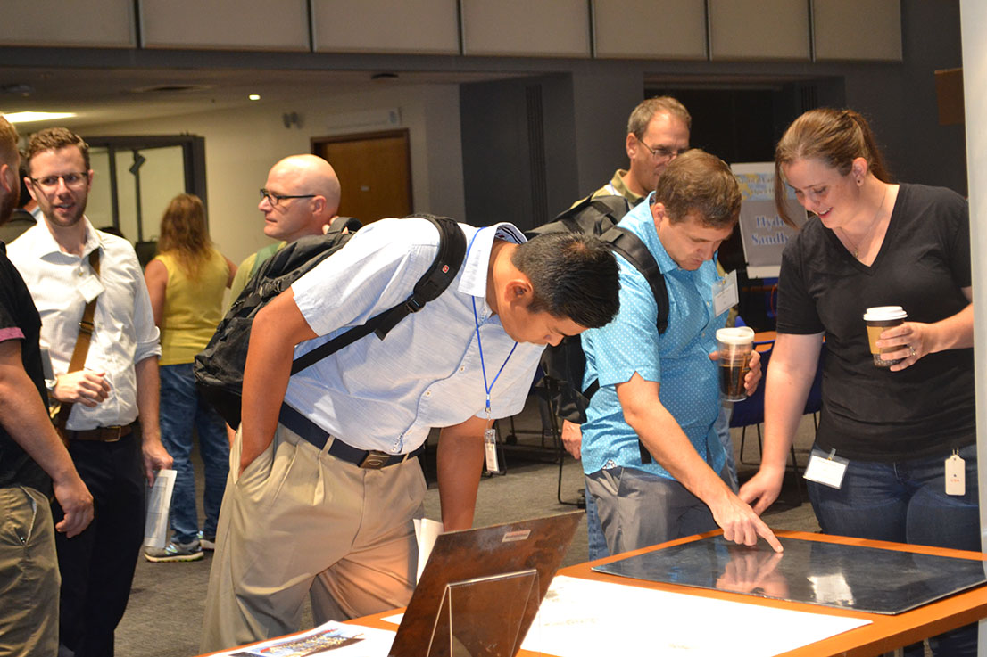
The goals of open house were to report on current and future activities in cartography and GIS, establish a regional and international network of cartographers in the field of nautical charting, create collaborative activities among international members, and identify challenges in generating, producing, maintaining, and distributing nautical charts. The open house provided the opportunity for international colleagues in marine cartography to network and share ideas.
Chart Adequacy Workshop
Just prior to the open house, NOAA held its fifth annual Chart Adequacy Workshop. The workshop trains professional cartographers from international offices on techniques for assessing nautical chart adequacy using publicly available information such as satellite images and maritime automatic identification system data. This is an important technique for hydrographic offices around the world, particularly for developing countries, who may be resource constrained.
As in previous years (2018, 2017, 2016, 2015), the workshop covered an overview of Coast Survey’s datasets, processes, requirements for nautical charts, and preprocessing hydrographic data.
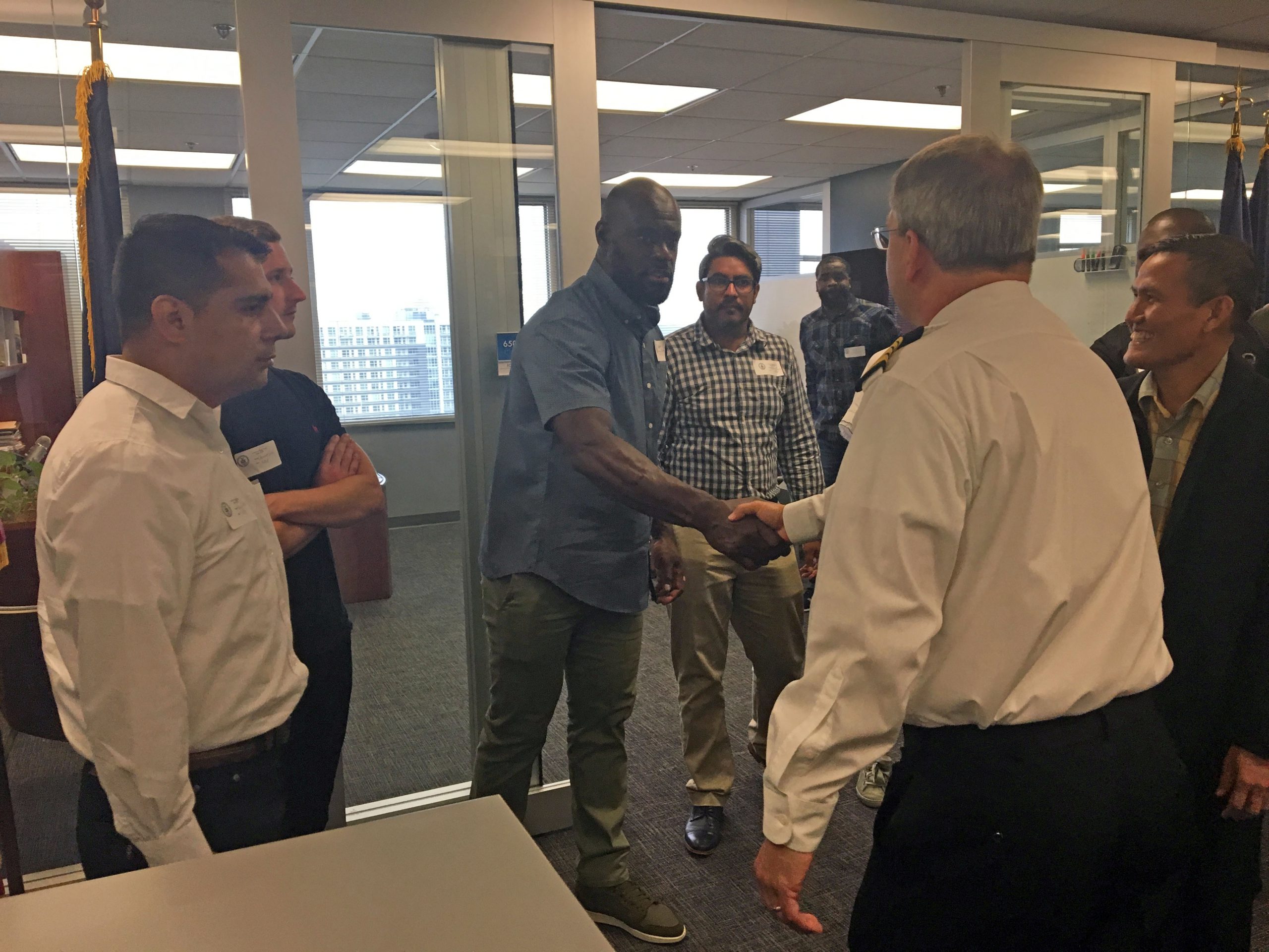
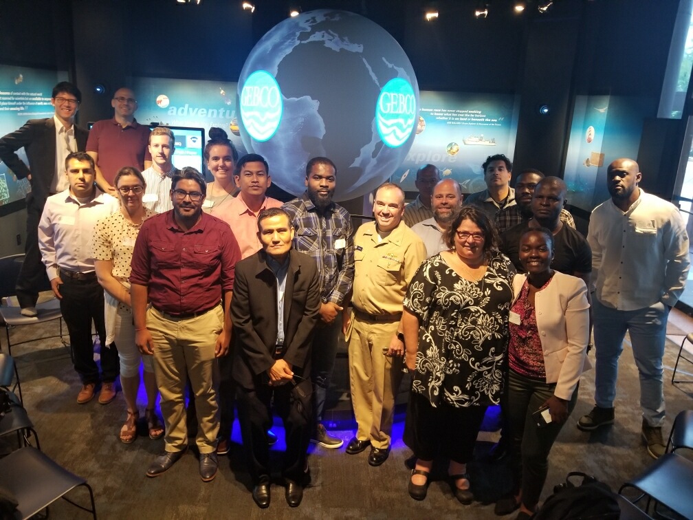
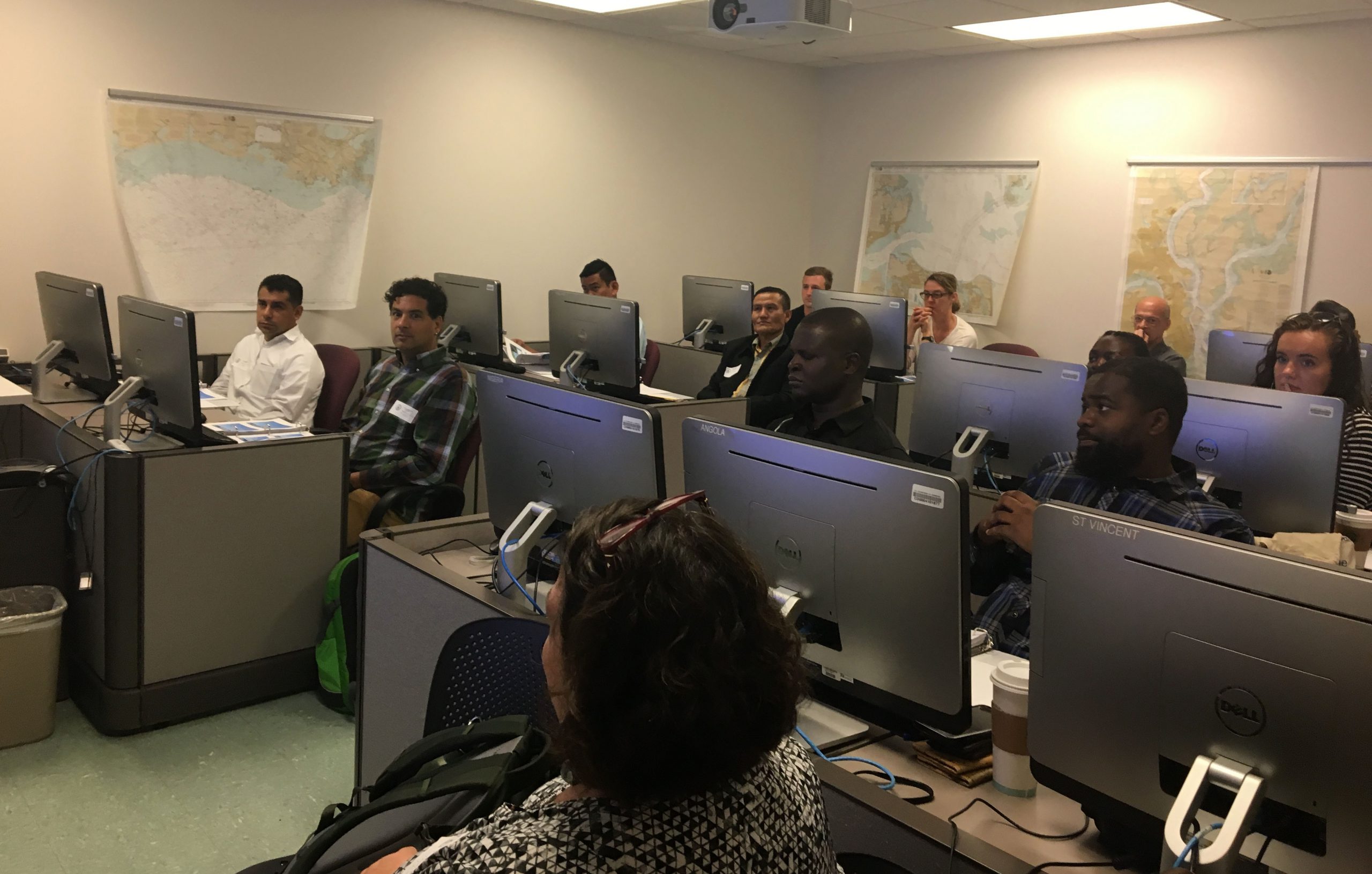
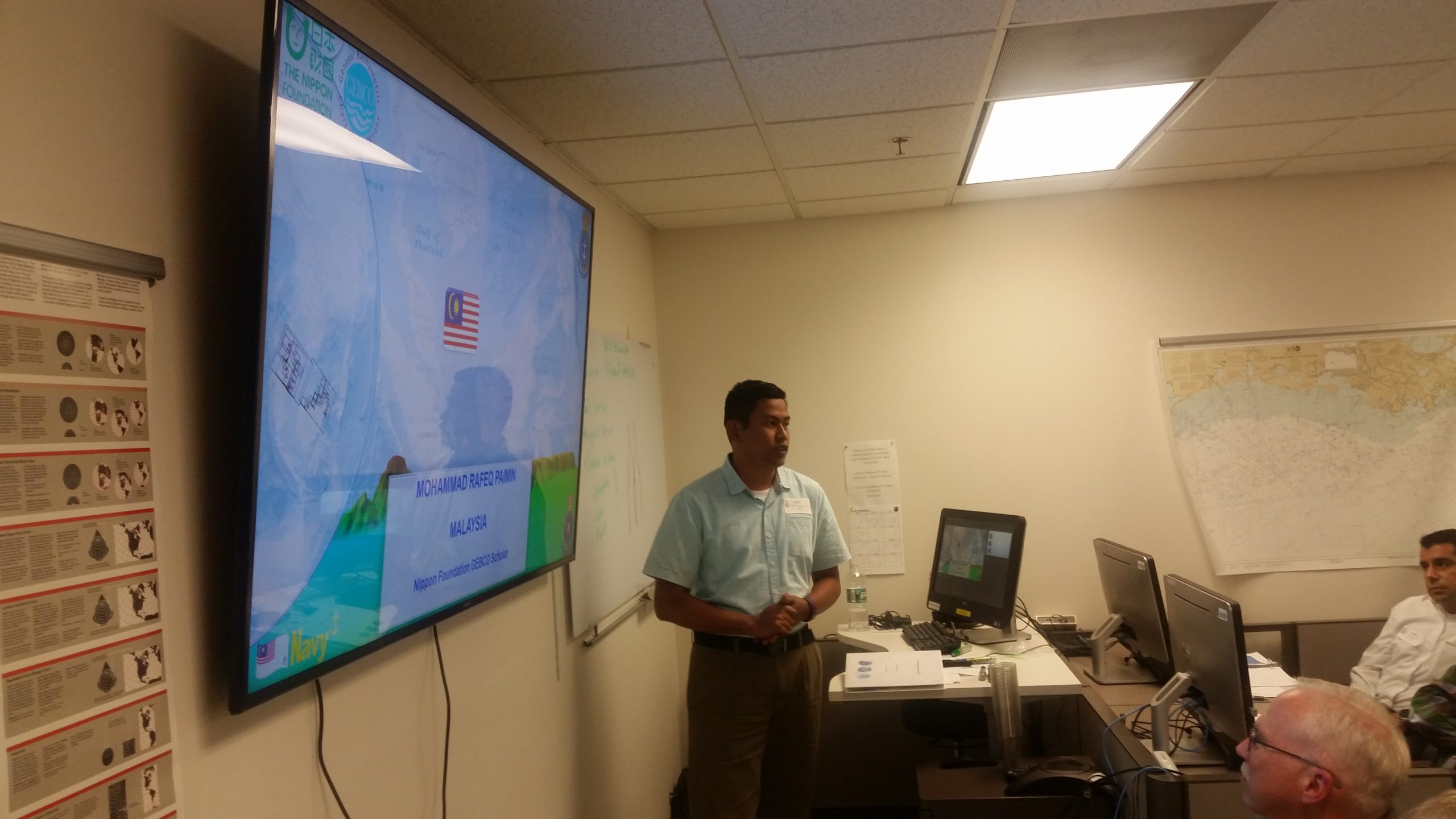
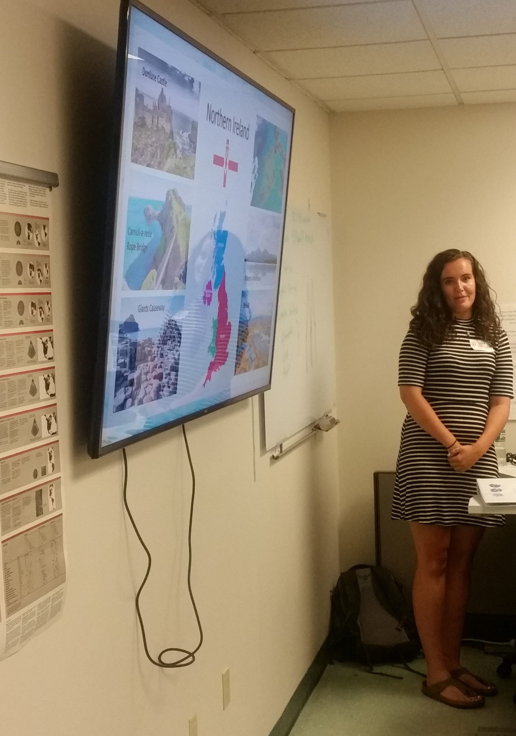
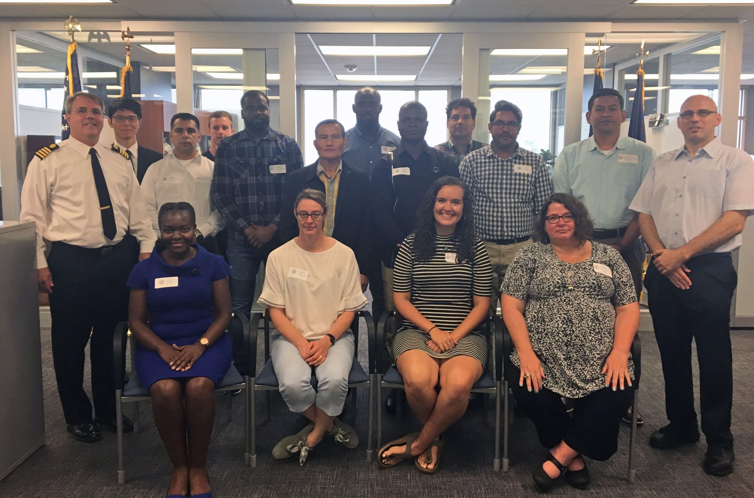
The 2019 participants hailed from over a dozen countries including Angola, Denmark, France, Japan, Kenya, Malaysia, Mauritius, Mexico, Nigeria, St. Vincent and the Grenadines, Thailand, South Korea, and the United Kingdom. The international nature of the workshop allows the participants to meet and learn from cartographers from a variety of backgrounds and expertise. The individuals were nominated by their home hydrographic offices and their travel was sponsored by the General Bathymetric Chart of the Oceans.