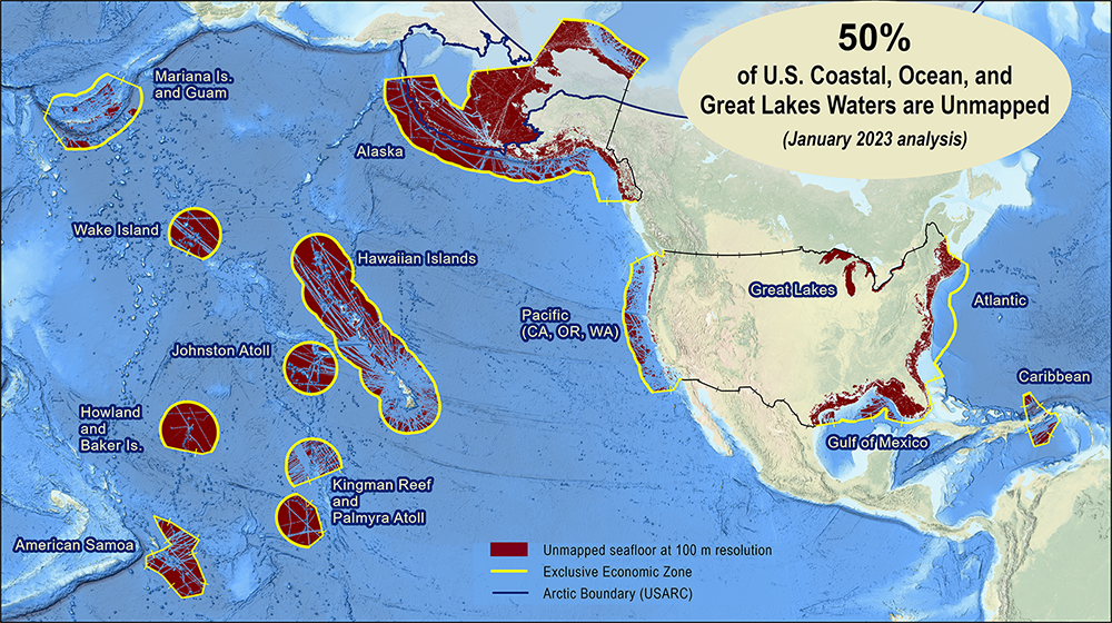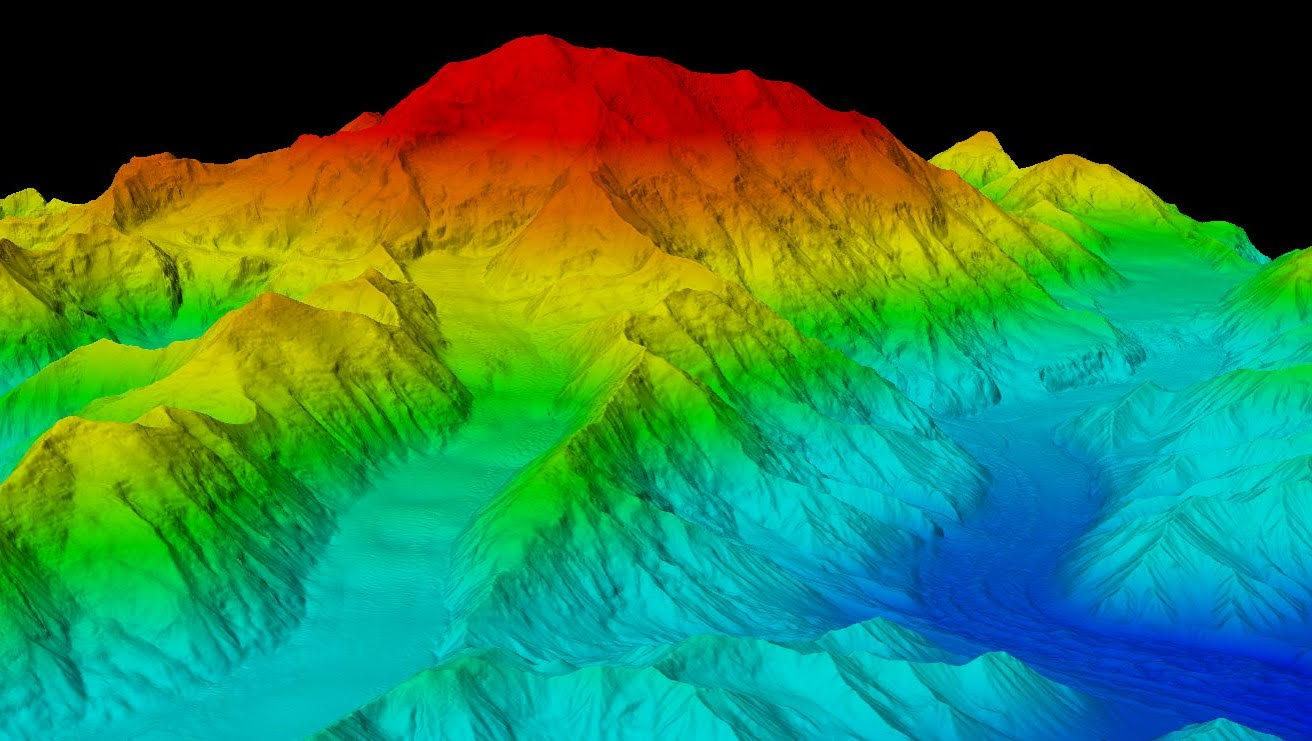
The 3D Nation Elevation Requirements and Benefits Study focuses on 3D elevation data on land and underwater.
A new ArcGIS Hub Site sharing the results of the 3D Nation Elevation Requirements and Benefits Study, which was published in September 2022, is now available. The site currently features a tool which allows users to filter business use ranks by each state. The site will be updated with more immersive dashboards as they become available. This study was sponsored by the National Oceanic and Atmospheric Administration (NOAA) and the U.S. Geological Survey (USGS), and conducted by Dewberry. The study documents nationwide requirements and benefits of 3D elevation data both on land and underwater. The study also estimates the costs associated with meeting these requirements and evaluates multiple scenarios for enhancing national elevation mapping programs.
Continue reading “3D Nation Study Hub Site now available!”