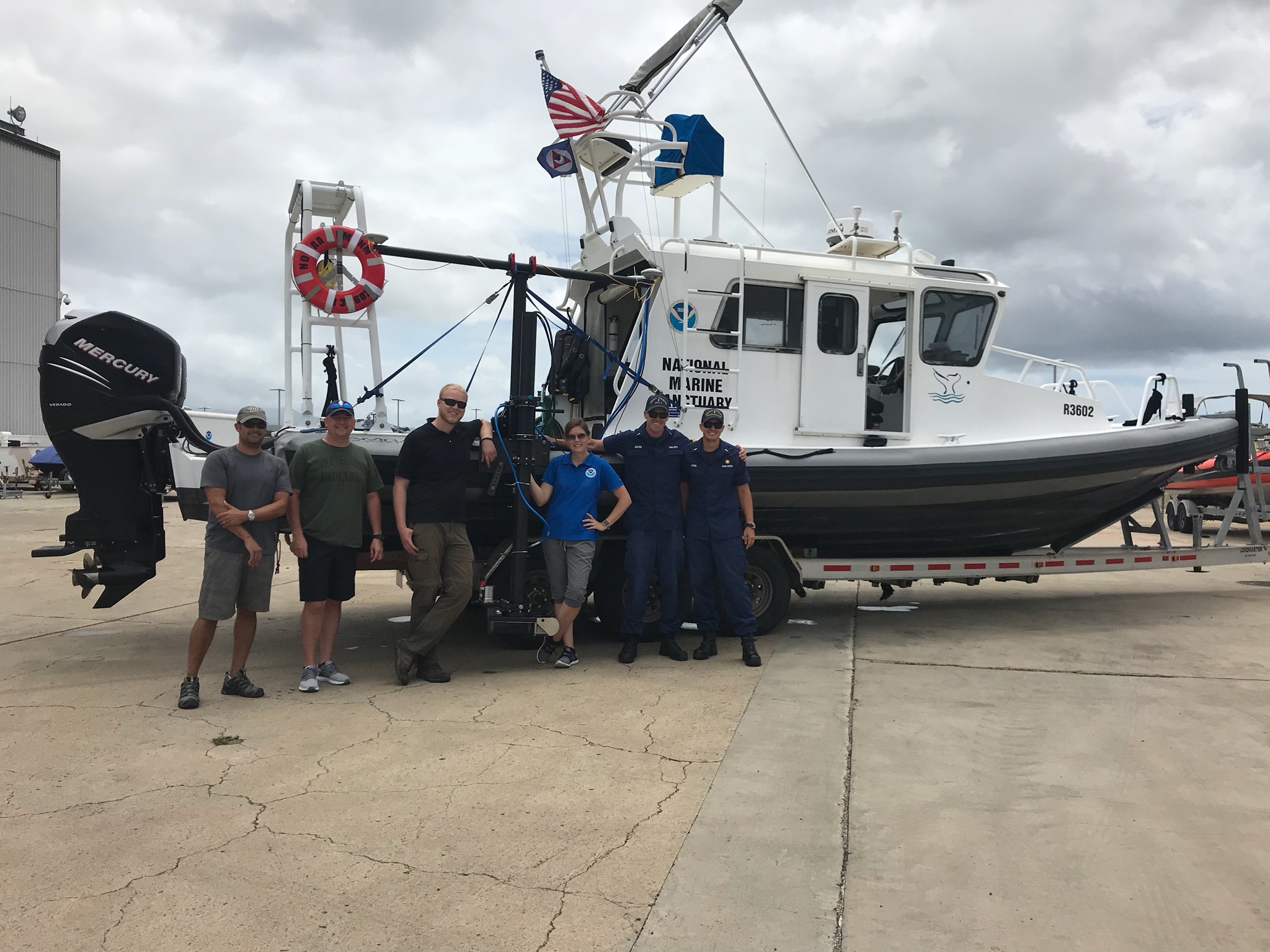
NOAA’s Office of Coast Survey, United States Coast Guard (USCG) Sector Honolulu, State of Hawaii Department of Transportation and United States Army Corps of Engineers (USACE) Honolulu Division established a memorandum of understanding (MOU) outlining each signatory’s area of responsibility in the event of a disaster in the Hawaii region. The intent of the MOU is to improve the efficiency and effectiveness of response efforts and speed the reopening of the ports and waterways following an emergency.
Continue reading “NOAA joins federal and state partners in signing MOU on emergency maritime response in Hawaii”NOAA seeks industry feedback as it begins testing the Precision Navigation Data Dissemination prototype
By Julia Powell, Precision Navigation Program Manager, Chief of the Navigation Services Division
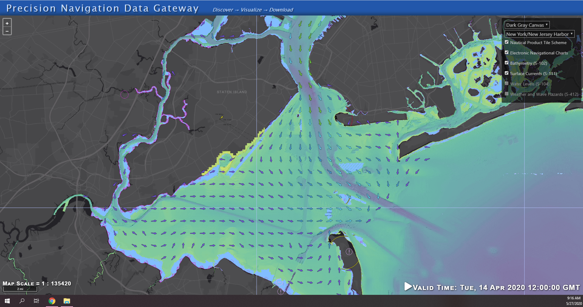
NOAA’s Precision Navigation program is building a prototype data gateway for users to discover, visualize, and disseminate NOAA marine navigation products and services. The backbone of this dissemination system is to provide for machine-to-machine dissemination that allows the mariners’ existing navigation software to automatically discover if NOAA has made new data available and ingest it directly into the system. NOAA’s integrated marine navigation services through this site will help ship operators optimize their routes, save fuel, reduce lightering and reduce port wait times based on environmental conditions.
Continue reading “NOAA seeks industry feedback as it begins testing the Precision Navigation Data Dissemination prototype”Coast Survey Spotlight: Meet Martha Herzog
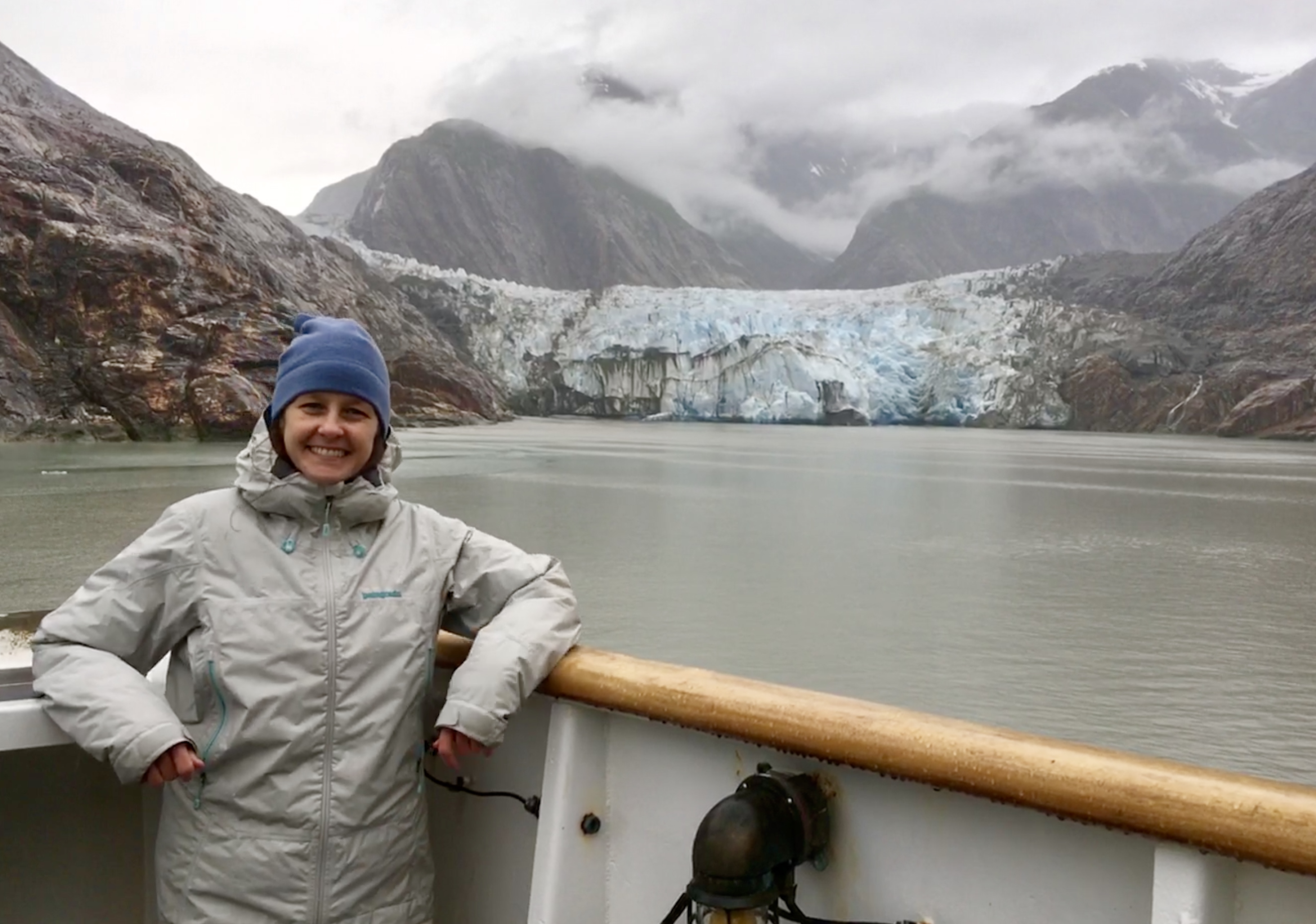
Ever wonder what it’s like to be a member of the NOAA Coast Survey team? We use the Coast Survey spotlight blog series as a way to periodically share the experiences of Coast Survey employees as they discuss their work, background, and advice.
Martha Herzog, Physical Scientist
Continue reading “Coast Survey Spotlight: Meet Martha Herzog”“…collecting the most accurate and up-to-date seafloor data to create nautical charting products is essential for ensuring public safety, commerce, and preventing human and environmental catastrophes.”
Capturing scenes from hydrographic surveying
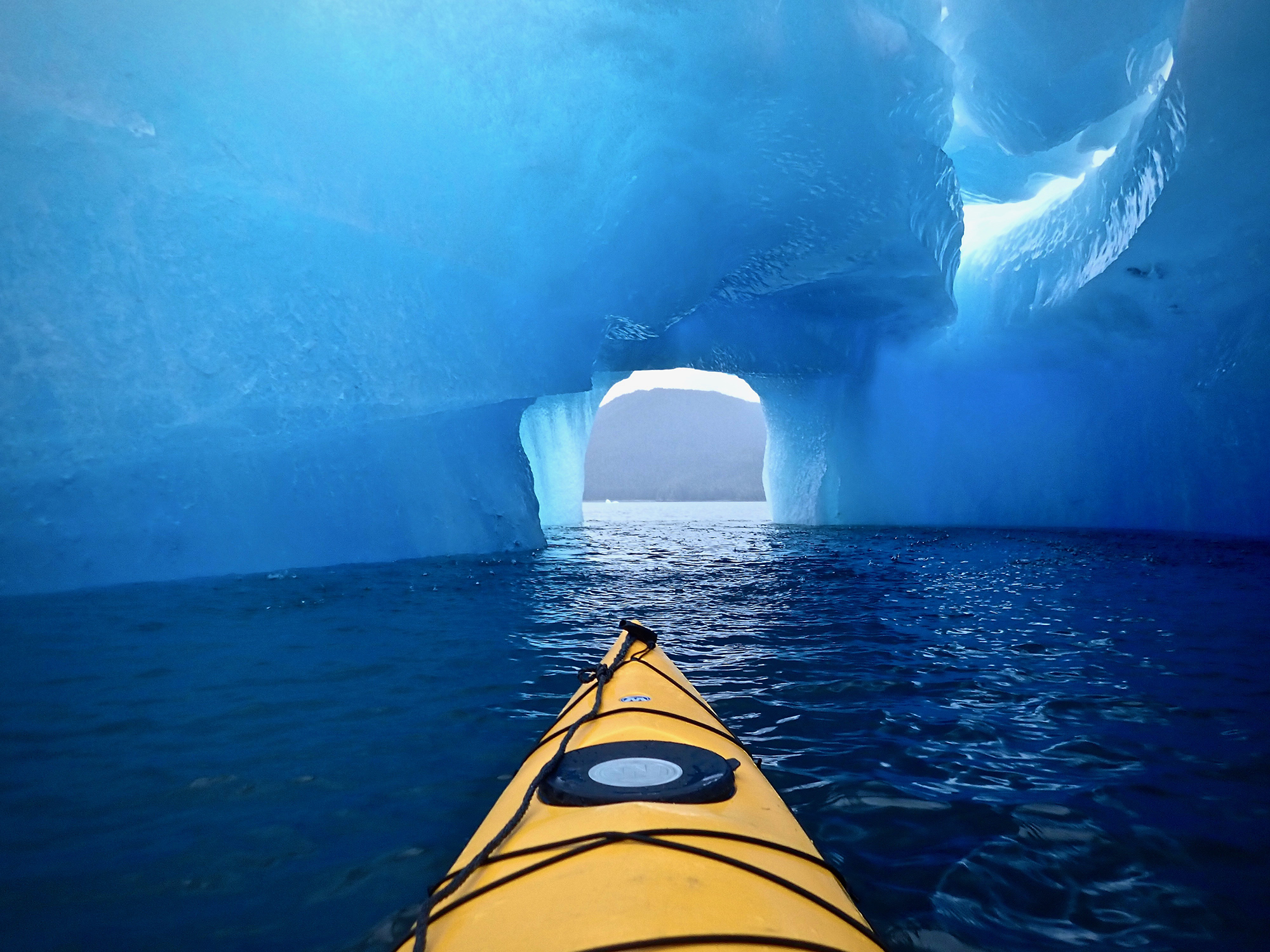
There are many benefits to working on a hydrographic survey project for NOAA’s Office of Coast Survey. Some would say having the opportunity to visit amazing landscapes, work with talented people, and collect important environmental data are just a few of them. Recently, Coast Survey’s Hydrographic Surveys Division hosted an internal photo contest inviting employees and contractors to submit images in the categories of Ships and Boats, Landscapes, People, and Data. On this Earth Day 2020, we thought we would share our contest winners with you.
Continue reading “Capturing scenes from hydrographic surveying”NOAA certifies San Francisco Bay shipping channel with top survey rating, increasing confidence for deep draft vessel navigation
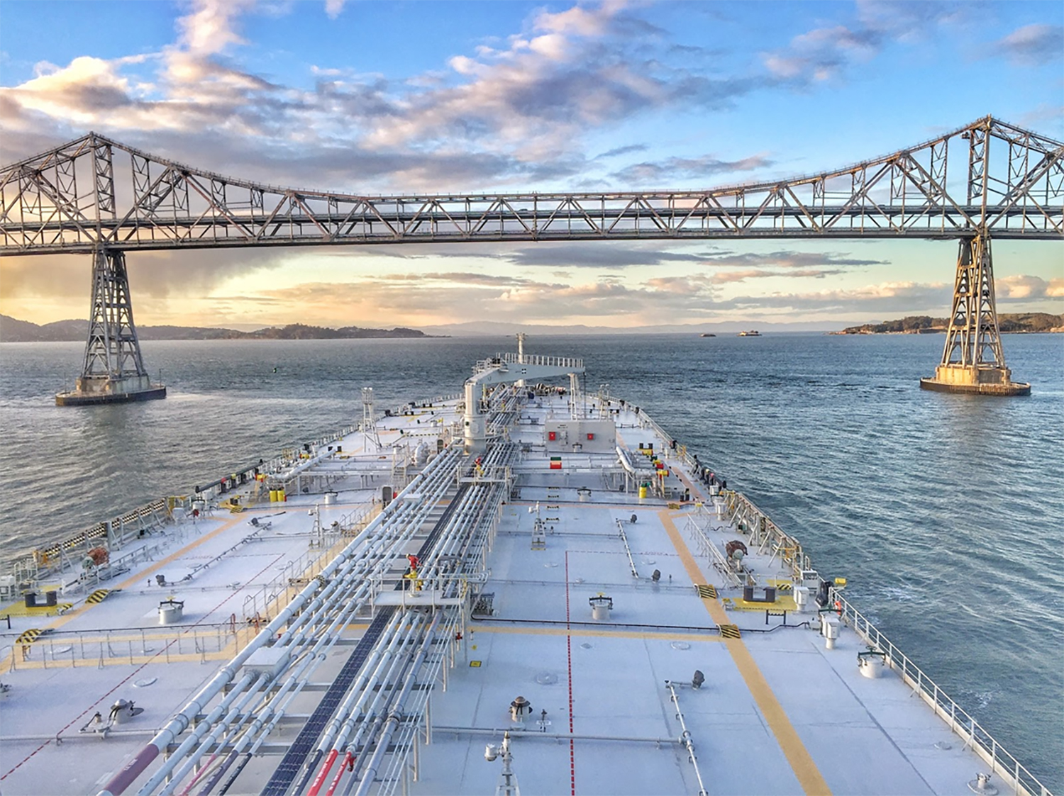
There is a risk factor when navigating in and out of our nation’s busiest ports, particularly at the helm of some of the world’s largest deep draft vessels. Mariners rely on tide and water level information, wind and weather data, but perhaps most importantly, they rely on electronic navigational charts and the quality of depth measurements that comprise them. Recently, NOAA’s Office of Coast Survey certified the U.S. Army Corps of Engineers (USACE) hydrographic surveys for the Pinole Shoal Channel in San Francisco Bay — a critical waterway for bulk carriers and tankers to reach the ports of Sacramento, Stockton, Martinez, and Benicia — the highest possible data quality rating, Category Zone of Confidence (CATZOC) A1, for two years. This is the first USACE federally-maintained channel to receive the highest-level certification. NOAA anticipates the increased CATZOC rating will dramatically increase shipping efficiency.
Continue reading “NOAA certifies San Francisco Bay shipping channel with top survey rating, increasing confidence for deep draft vessel navigation”NOAA announces new progress report on mapping U.S. ocean, coastal, and Great Lakes waters
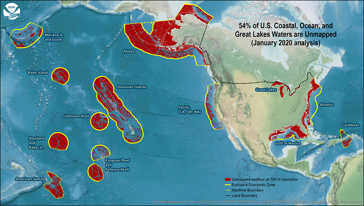
NOAA released the first annual report on the progress made in mapping U.S. ocean, coastal, and Great Lakes waters. The depth, shape, and composition of the seafloor are foundational data elements that we need to understand in order to explore, sustainably develop, conserve, and manage our coastal and offshore ocean resources. The 2019 Presidential Memorandum on Ocean Mapping of the United States Exclusive Economic Zone and the Shoreline and Nearshore of Alaska and the global Seabed 2030 initiative make comprehensive ocean mapping a priority for the coming decade. The Unmapped U.S. Waters report tracks progress toward these important goals.
Continue reading “NOAA announces new progress report on mapping U.S. ocean, coastal, and Great Lakes waters”Building the National Bathymetry
By Katrina Wyllie and Glen Rice
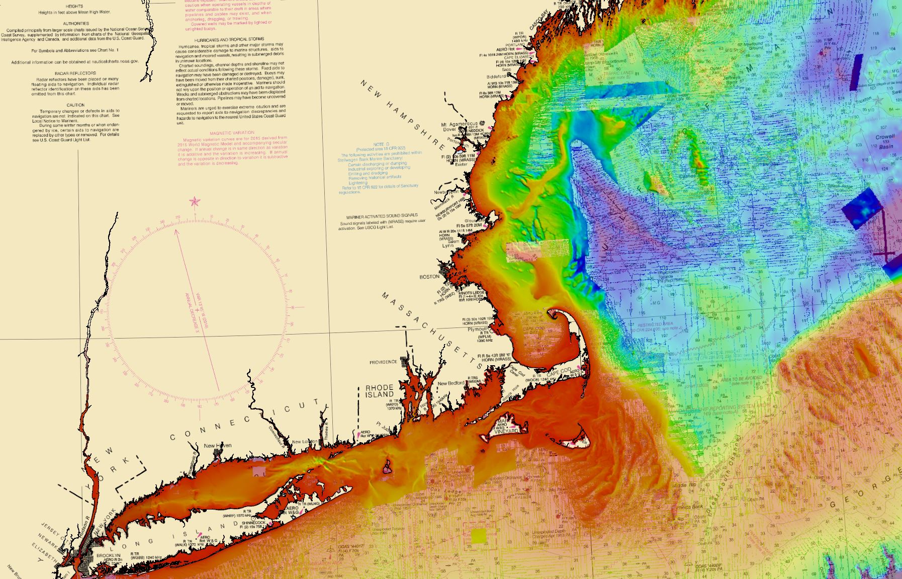
The National Bathymetric Source (NBS) project creates and maintains high-resolution bathymetry composed of the best available data. This project enables the creation of next-generation nautical charts while also providing support for modeling, industry, science, regulation, and public curiosity.
Continue reading “Building the National Bathymetry”NOAA ship readies for historic deployment to the Western Pacific to map the oceans
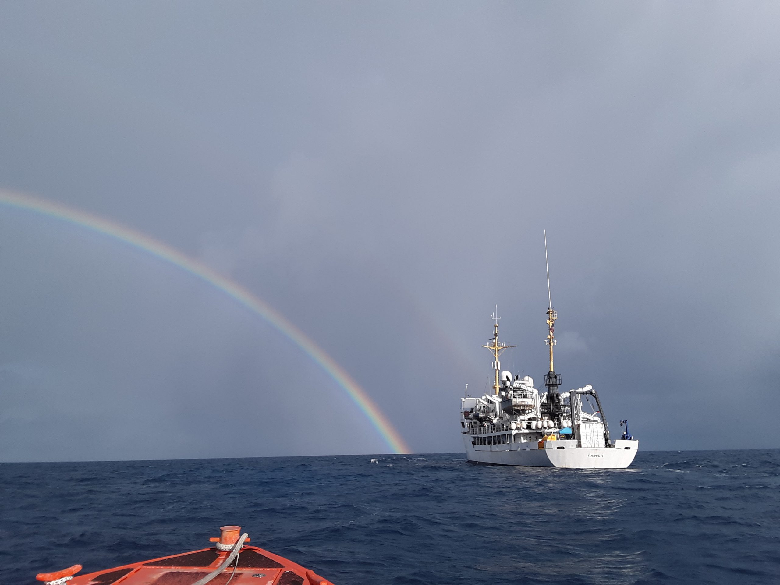
In three weeks, NOAA Ship Rainier will depart on the farthest journey of its 52-year history as it embarks on a multidisciplinary mapping trip to the Western Pacific. Rainier and a diverse team of scientists on board will map the waters from shore to almost 2000 meters deep around Guam and the Commonwealth of the Northern Mariana Islands including Saipan, Rota, and Tinian. The data and observations collected will support safe navigation, coral habitat and fisheries conservation, and storm surge and tsunamis modeling. The data will also be made available to those at the local level and contribute to the larger national and global initiatives regarding comprehensive seafloor mapping.
Continue reading “NOAA ship readies for historic deployment to the Western Pacific to map the oceans”NOAA hydrographic community prepares for field season at annual workshop
The field of hydrography, like most sciences, is comprised of experts honing their craft, improving their tools, building upon the successes of previous years, and learning from their mistakes. Hydrographers typically accomplish this iterative process in the field, publishing papers, presenting at industry conferences, and often through discussions over the phone or via email. However, once a year, the NOAA hydrographic community — those who measure and describe the features of the seafloor to update nautical charts and support a variety of sciences — meets at the Field Procedures Workshop to not only share information, but have frank discussions about their challenges and the path forward in preparation for the upcoming hydrographic field season.
Continue reading “NOAA hydrographic community prepares for field season at annual workshop”NOAA releases 2020 hydrographic survey season plans
NOAA hydrographic survey ships and contractors are preparing for the 2020 hydrographic survey season. The ships collect bathymetric data (i.e. map the seafloor) to support nautical charting, modeling, and research, but also collect other environmental data to support a variety of ecosystem sciences. NOAA considers hydrographic survey requests from stakeholders such as marine pilots, local port authorities, the Coast Guard, and the boating community, and also consider other hydrographic and NOAA science priorities in determining where to survey and when. Visit our “living” story map to find out more about our mapping projects and if a hydrographic vessel will be in your area this year!
Continue reading “NOAA releases 2020 hydrographic survey season plans”
