NOAA’s Office of Coast Survey hosted the first NOAA open house on nautical cartography on Friday, July 7th. The event featured posters, presentations, and tours focusing on nautical cartography, highlighting the field of charting and GIS. Industry partners such as ESRI, CARIS, Fugro Palegos, Inc., and IIC Technologies, international mapping groups such as Cartography and Geographic Information Society (CaGIS) and General Bathymetric Chart of the Oceans (GEBCO), government agencies such as U.S. Army Corps of Engineers and the Navy, and many international charting offices were in attendance. The open house welcomed a total of 200 visitors, representing 24 countries. Continue reading “NOAA hosts first open house on nautical cartography”
NOAA clarifies National Charting Plan vision for production of NOAA paper charts and RNCs
Whether navigating an oil tanker, cruise ship, fishing vessel, sailboat, or any craft, the mariner requires a suite of navigation charts that are consistent and easy to use. The public feedback we received to the National Charting Plan regarding the “sunset of paper” charts (p. 26) highlights two navigation products in particular, NOAA paper nautical charts and raster navigational chart (RNC).
Continue reading “NOAA clarifies National Charting Plan vision for production of NOAA paper charts and RNCs”
NOAA Coast Survey offers new certification program in nautical cartography
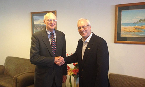
The International Board on Standards and Competence for Hydrographic Surveyors and Nautical Cartographers (IBSC) recognized and approved Coast Survey’s new certification program in cartography (CAT-B) at their 40th meeting in Willington, New Zealand. Capt. Andy Armstrong (NOAA, ret.), co-director of the Center for Coastal & Ocean Mapping/Joint Hydrographic Center at the University of New Hampshire, presented the program at the meeting. Continue reading “NOAA Coast Survey offers new certification program in nautical cartography”
Collaborative effort to create new nautical chart returns recreational boaters to Haverhill, Massachusetts
NOAA’s Office of Coast Survey released a new electronic navigation chart (NOAA ENC®) of Haverhill, Massachusetts, and the Merrimack River (US5MA1AM). With this new chart, recreational boaters now can safely navigate the Merrimack River from the entrance at Newburyport all the way to Haverhill, just in time for boating season.
Haverhill is a historic New England town that has recently undergone an urban renewal with new federal, state, and private investment in the downtown and waterfront areas. Until now, this area of the river was not depicted at an appropriate scale on a nautical chart for recreational boaters to navigate safely. The community of Haverhill recognized the importance of recreational boaters to their local economy and led a grassroots effort to have a new chart created. Continue reading “Collaborative effort to create new nautical chart returns recreational boaters to Haverhill, Massachusetts”
Do you need a new chart?
New update information service makes decisions easier
NOAA privatized printing of paper nautical charts in 2014 and, in the ensuing years, focused on modernizing chart compilation and production. Those recent changes allow us to update both paper and digital charts on a weekly basis. However, mariners still have had to deal with a cumbersome Local Notice to Mariners process to get important (or less than important) updates to the charts that they already own. Coast Survey is now making life a little easier for chart users. Continue reading “Do you need a new chart?”
Beta test of crowdsourced bathymetry holds promise for improving U.S. nautical charts
We are on the verge of acquiring a significant new source of data to improve NOAA nautical charts, thanks to an enthusiastic industry and mariners equipped with new technology.
By Lt. Adam Reed, Integrated Oceans and Coastal Mapping (IOCM) Assistant Coordinator
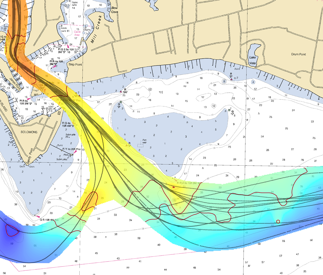
The United States has about 3,400,000 square nautical miles of water within our coastal and Great Lakes jurisdiction. Coast Survey, who is responsible for charting that vast area, averages about 3,000 square nautical miles of hydrographic surveying each year. The data collected by those surveys update over a thousand NOAA charts. However, hydrographic surveys are expensive and laborious, and so Coast Survey directs them toward the highest priority sites, which leaves many coastal areas without updates for many years.
Coast Survey may soon get new sources of information, provided voluntarily by mariners, which will alert cartographers to areas where shoaling and other changes to the seafloor have made the chart inaccurate.
Continue reading “Beta test of crowdsourced bathymetry holds promise for improving U.S. nautical charts”
How accurate are nautical charts?
Charts will provide more information on “zone of confidence”
It is a major challenge – some might say an impossibility – to keep all thousand U.S. nautical charts up to date. But exactly how out of date is the chart data? Chart users will get a better idea now that Coast Survey is gradually rolling out a new chart feature called the zone of confidence, or “ZOC” box. It will replace the source diagram that is currently on large-scale charts. Source diagrams, and now the improved ZOC, help mariners assess hydrographic survey data and the associated level of risk to navigate in a particular area.
The first charts to show the new ZOC box are 18622, 18682, 18754, and 11328. They were released on April 7.
Continue reading “How accurate are nautical charts?”
New tips for understanding nautical chart symbols
 As a responsible boater, you examine your nautical chart before sailing, determined to avoid problems during a nice trip along the coast. Charts are packed with symbols and abbreviations, so you might refer to the free copy of U.S. Chart No. 1, which lists all of the symbols used on NOAA nautical charts. It is an excellent quick reference for identifying unfamiliar symbols.
However, sometimes mariners need a deeper understanding…
Coast Survey is now providing additional information about complex or particularly confusing chart symbols to augment what is available in U.S. Chart No. 1. The first two tip sheets are available now. Coast Survey will add more chart symbology tip sheets to the U.S. Chart No. 1 webpage as the need arises.
Continue reading “New tips for understanding nautical chart symbols”
NOAA and Cuban chartmakers working together to improve maritime safety
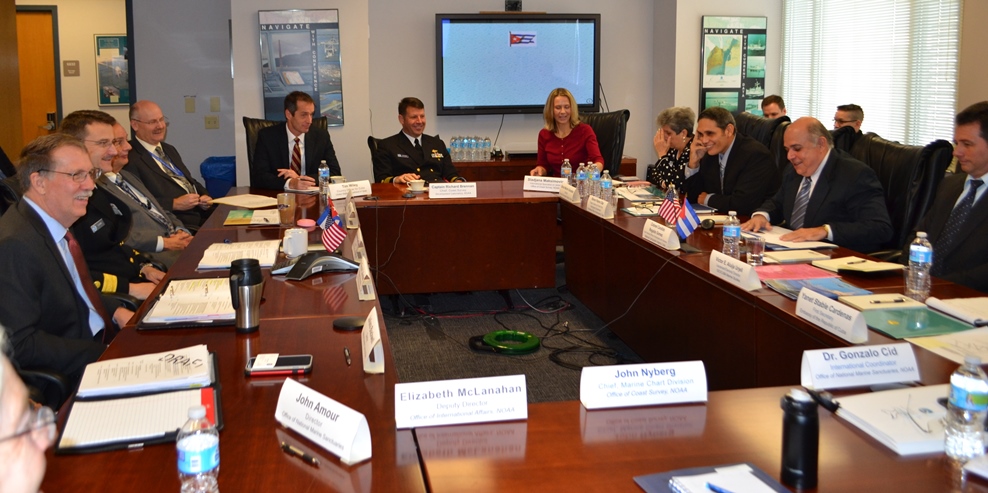
Following up on Coast Survey’s visit to Havana last spring, Cuban hydrographic officials traveled to Maryland on December 15-17, to meet with NOAA National Ocean Service leaders for discussions about potential future collaboration. High on the agenda for Coast Survey is improving nautical charts for maritime traffic transiting the increasingly busy Straits of Florida.
The historic meeting began with Dr. Russell Callender, NOS acting assistant administrator, welcoming the Cuban delegation, led by Colonel Candido Regalado Gomez, chief of Cuba’s National Office of Hydrography and Geodesy.
Continue reading “NOAA and Cuban chartmakers working together to improve maritime safety”
Celebrating Abe’s birthday! Lincoln’s slave density map is home again in President Lincoln Cottage
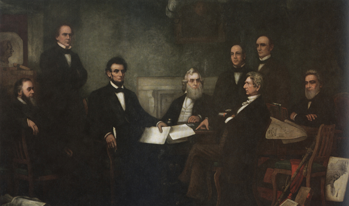
The “slave density map,” created by the men of U.S. Coast Survey in 1861, is one of Coast Survey’s most treasured historical maps. Artist Francis Bicknell Carpenter included it in his painting, “First Reading of the Emancipation Proclamation of President Lincoln,” because Lincoln consulted it so often in devising his military strategy. According to Carpenter, President Lincoln used the map in his decisions to send his armies to free blacks in some of the highest density areas in order to destabilize Southern order.
Continue reading “Celebrating Abe’s birthday! Lincoln’s slave density map is home again in President Lincoln Cottage”


