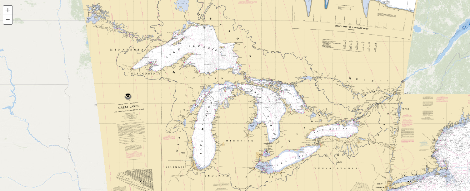
On February 14, 2023, NOAA’s Office of Coast Survey released NOAA Custom Chart version 2.0, a dynamic map application, which enables users to create their own paper and PDF nautical charts derived from the official NOAA electronic navigational chart (NOAA ENC®), NOAA’s premier nautical chart product.
Continue reading “NOAA Custom Chart version 2.0 now available to the public“Coast Survey to shut down the Raster Navigational Chart Tile Service and other related services
NOAA will shut down its Raster Navigational Chart (RNC) Tile Service and the online RNC Viewer on October 1, 2021. The NOAA Seamless Raster Navigational Chart Services will be shut down on January 1, 2022. This is part of a larger NOAA program to end production and maintenance of all NOAA traditional paper and raster nautical charts that was announced in the Federal Register in November 2019.
Continue reading “Coast Survey to shut down the Raster Navigational Chart Tile Service and other related services”NOAA releases new edition of nautical chart symbol guide
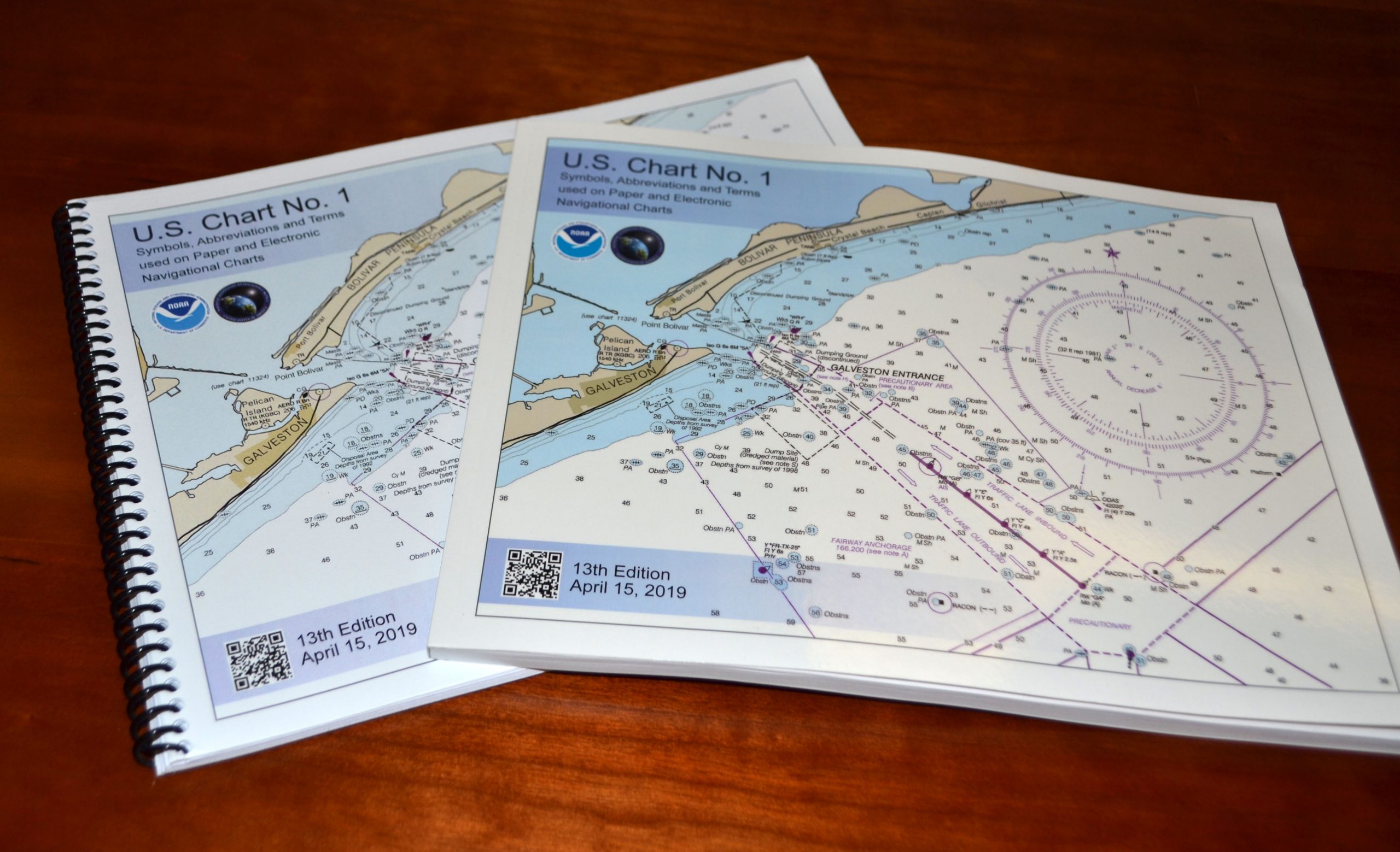
Edition 13 of U.S. Chart No. 1 is now available to download for free on Coast Survey’s website. Paper copies may also be purchased from any of four NOAA Chart No. 1 publishing agents.
This 130-page book describes the symbols, abbreviations, and terms used on paper NOAA nautical charts and for displaying NOAA electronic navigational chart (NOAA ENC®) data on Electronic Chart Display and Information Systems (ECDIS). The document also shows paper chart symbols used by the National Geospatial-Intelligence Agency and symbols specified by the International Hydrographic Organization.
Continue reading “NOAA releases new edition of nautical chart symbol guide”Coast Survey wants your thoughts about chart catalogs
Regular blog readers are aware of NOAA chart transformations over the last year, as we transition our nautical products to a wide range of paper and digital formats, print-on-demand services, and web mapping ‒ providing updated information that is easy to access. Next up for consideration is the traditional chart catalog. In a Federal Register Notice published on November 28, we ask for your opinion.
Until April 2014, the Federal Aviation Administration had printed NOAA’s nautical chart catalogs on oversized paper sheets (up to 35 inches by 55 inches), folded them, and made them available to the public for free. Since the printing was done in bulk, and stored prior to distribution, the information on the reverse side of the catalogs was often out of date by the time catalogs reached customers. When the FAA ceased printing NOAA nautical charts in April, they also stopped printing the catalogs.
Continue reading “Coast Survey wants your thoughts about chart catalogs”


