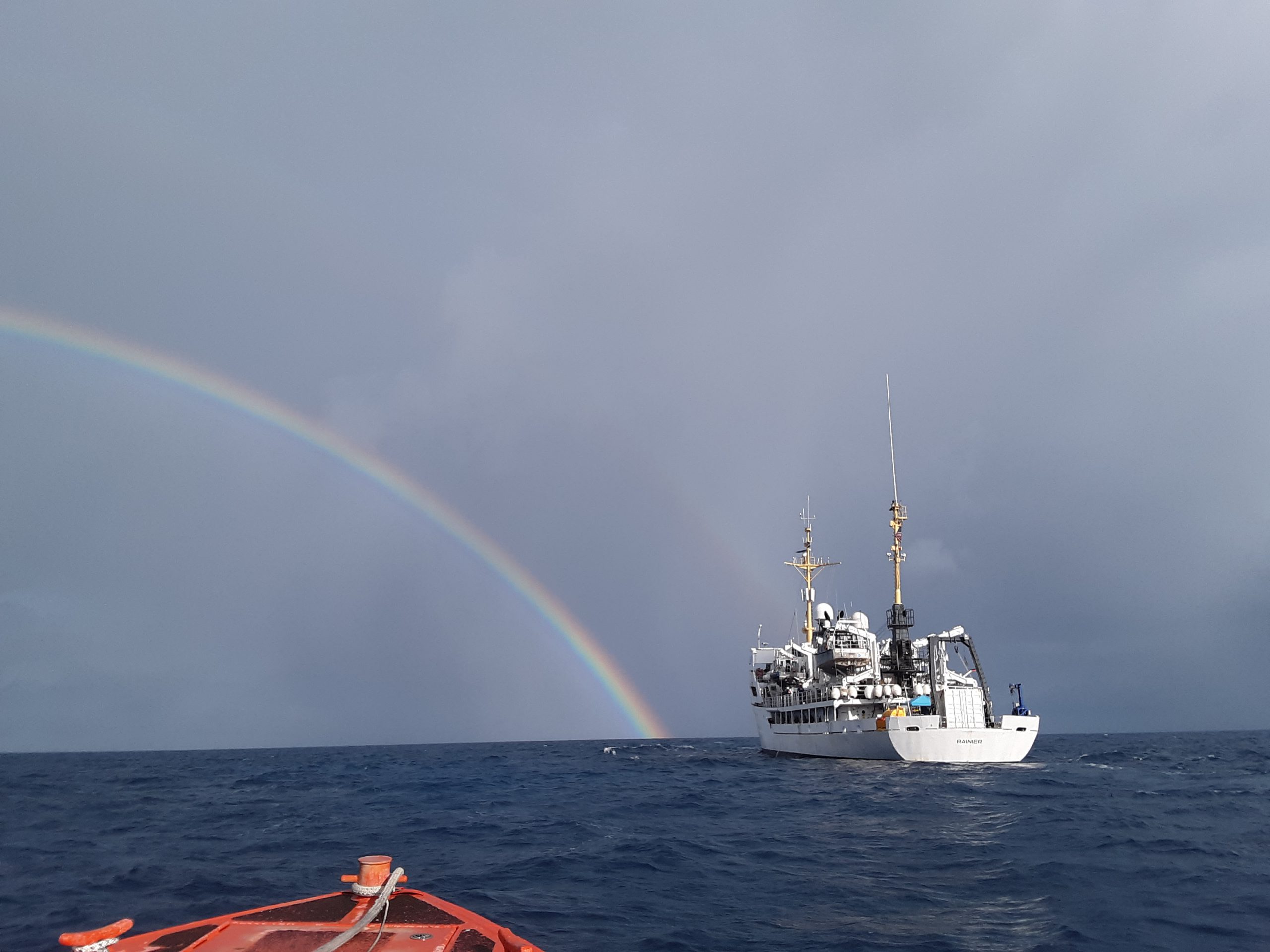
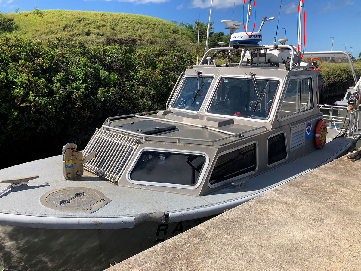
In three weeks, NOAA Ship Rainier will depart on the farthest journey of its 52-year history as it embarks on a multidisciplinary mapping trip to the Western Pacific. Rainier and a diverse team of scientists on board will map the waters from shore to almost 2000 meters deep around Guam and the Commonwealth of the Northern Mariana Islands including Saipan, Rota, and Tinian. The data and observations collected will support safe navigation, coral habitat and fisheries conservation, and storm surge and tsunamis modeling. The data will also be made available to those at the local level and contribute to the larger national and global initiatives regarding comprehensive seafloor mapping.
Continue reading “NOAA ship readies for historic deployment to the Western Pacific to map the oceans”NOAA releases 2020 hydrographic survey season plans
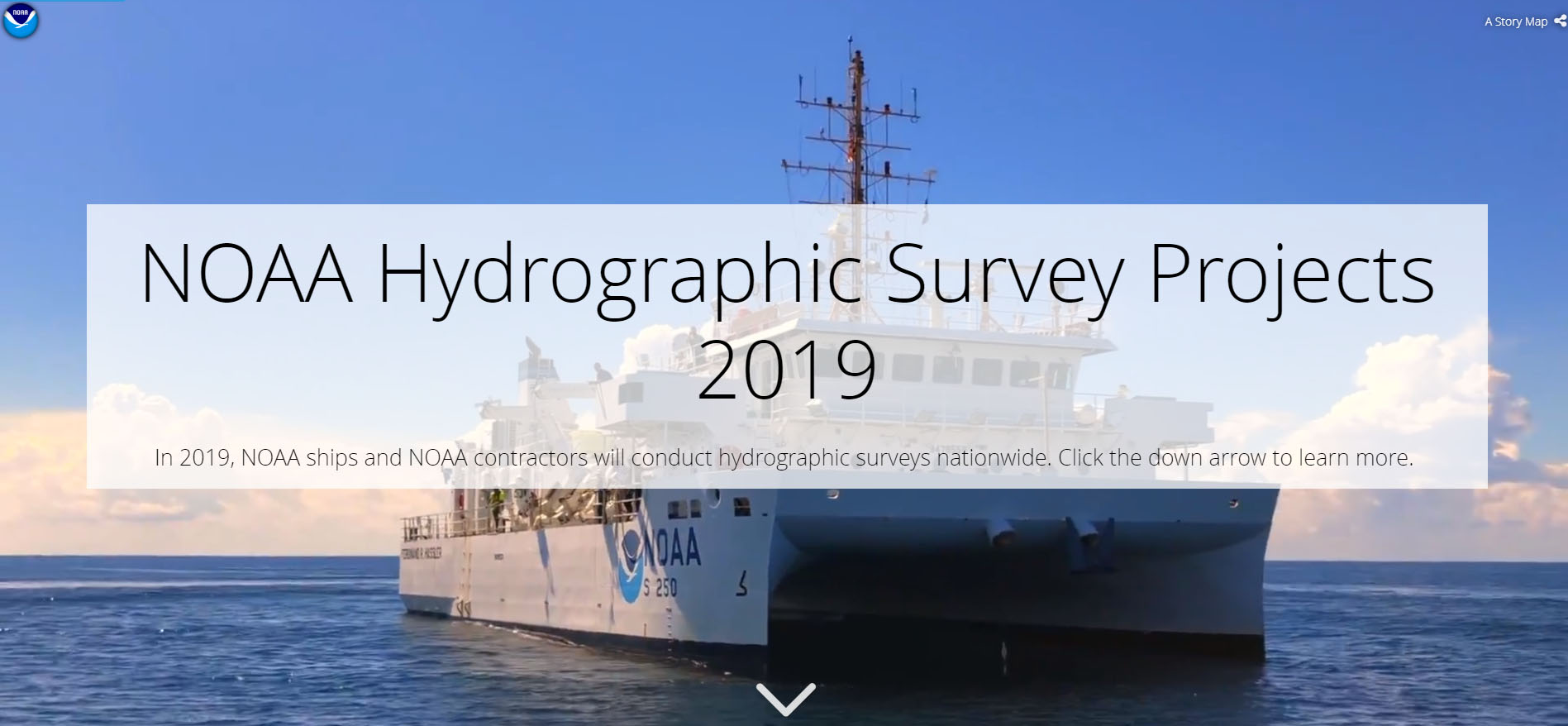
NOAA hydrographic survey ships and contractors are preparing for the 2020 hydrographic survey season. The ships collect bathymetric data (i.e. map the seafloor) to support nautical charting, modeling, and research, but also collect other environmental data to support a variety of ecosystem sciences. NOAA considers hydrographic survey requests from stakeholders such as marine pilots, local port authorities, the Coast Guard, and the boating community, and also consider other hydrographic and NOAA science priorities in determining where to survey and when. Visit our “living” story map to find out more about our mapping projects and if a hydrographic vessel will be in your area this year!
Continue reading “NOAA releases 2020 hydrographic survey season plans”Change of command for NOAA Ship Rainier
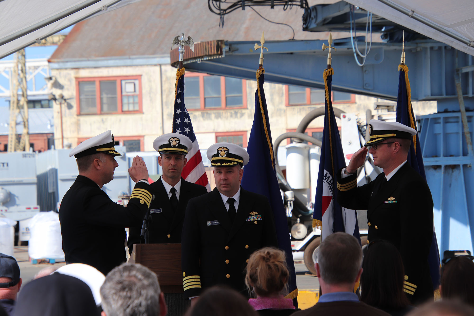
On November 15, 2019, the crew of NOAA Ship Rainier hosted a change of command in Valejo, California. Cmdr. Sam Greenaway accepted command of Rainier, relieving Capt. Ben Evans in a ceremony led by Capt. Michael Hopkins, commanding officer of NOAA’s Office of Marine and Aviation Operations (OMAO) Marine Operations Center-Pacific.
Continue reading “Change of command for NOAA Ship Rainier”NOAA Ship Rainier returns to survey the Hawaiian coast, provides update on lava flow development
By Ens. Harper Umfress
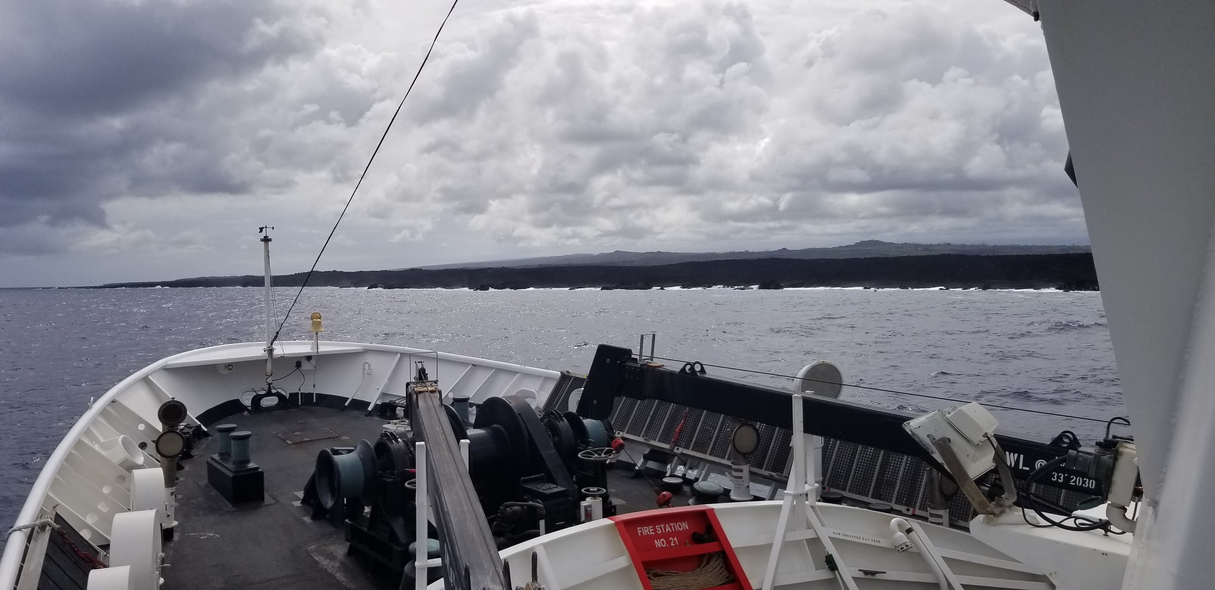
NOAA Ship Rainier’s four-decade tropical sonar silence is over and Hawaiian hydrography is back! The 2019 field season was productive, challenging, and geographically diverse. After starting the season with traditional hydrographic surveys in Alaska, Rainier was re-tasked to support science diving operations in the Papahānaumokuākea Marine National Monument that surrounds the Northwestern Hawaiian Islands. Though the primary purpose of this dispatch was to support coral reef research, the world’s most productive coastal hydrographic survey platform would have been remiss to forego this opportunity to ping new waters.
Continue reading “NOAA Ship Rainier returns to survey the Hawaiian coast, provides update on lava flow development”Hawaiian island surveys will update nautical charts and support habitat mapping efforts
By Ens. Lyle I. Robbins
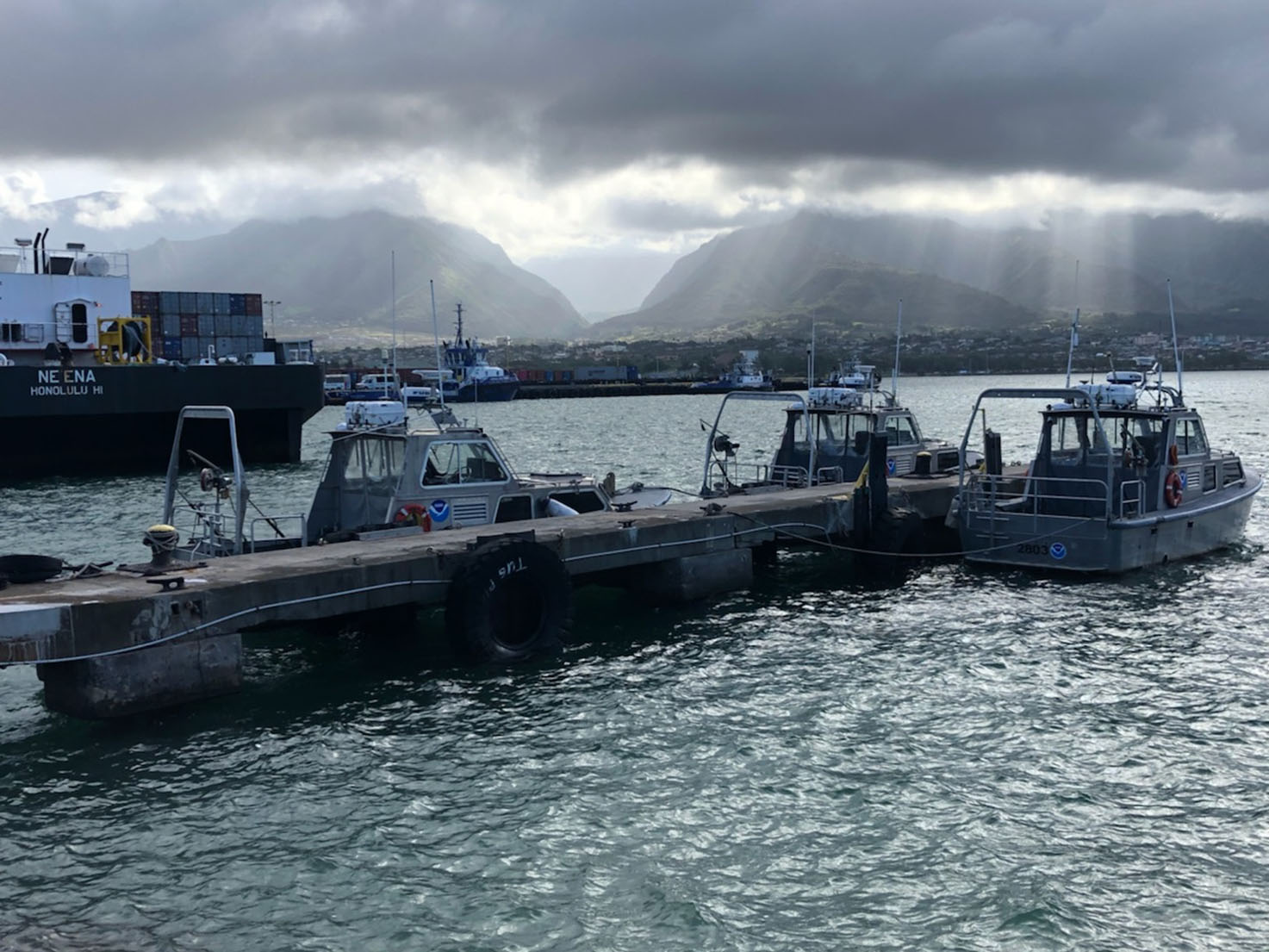
For more than 50 years, NOAA Ship Rainier and its hydrographic survey launches have surveyed the Pacific seafloor. During this time, Rainier sailed thousands of miles, including the entire U.S. west coast, Alaska, and Hawaii. This year, Rainier expands on its traditional role of hydrographic survey and is supporting dive operations in the Northwest Hawaiian Islands and in the Papahānaumokuākea Marine National Monument. While Rainier is sailing these remote coral atolls, the survey launches — that are usually in its davits and deployed directly from the ship — are tasked to their own surveys around the islands of Maui, Moloka’i, and O’ahu.
Continue reading “Hawaiian island surveys will update nautical charts and support habitat mapping efforts”NOAA Ship Rainier successfully field tests autonomous hydrographic survey launch
By Lt. j.g. Airlie Picket
NOAA Ship Rainier field tested a new hydrographic survey platform this season. Last winter, one of the ship’s hydrographic survey launches was converted into a semi-autonomous vessel, allowing it to be operated remotely. Hydrographic surveying is, by nature, dangerous. Autonomous systems have the potential to augment traditional surveying methods, improving efficiency and decreasing (or eliminating) risk to the surveyors themselves. As such, this technology is an exciting step toward fully-autonomous hydrographic survey systems.
Continue reading “NOAA Ship Rainier successfully field tests autonomous hydrographic survey launch”NOAA releases 2019 hydrographic survey plans
NOAA’s Office of Coast Survey is the nation’s nautical chartmaker, and maintains a suite of more than a thousand nautical charts. Coast Survey is responsible for charting U.S. waters and Great Lakes covering 3.4 million square nautical miles (SNM) of water and 95,000 miles of coastline.
NOAA’s hydrographic survey ships along with hydrographic contractor vessels, recently kicked off the 2019 hydrographic survey season. These surveys not only update the suite of nautical charts, but also help to maintain the safety of maritime commerce, recreational boaters, natural ecosystems, and much more. Operations are scheduled for maritime priority areas around the country and are outlined in Coast Survey’s “living” story map. Here is a list of where they are headed this year:
Continue reading “NOAA releases 2019 hydrographic survey plans”Seismic inter-agency collaborations on NOAA Ship Rainier
By Ensign Airlie Pickett, NOAA
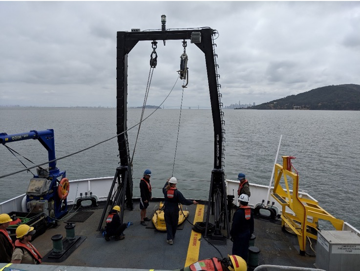
NOAA Ship Rainier spent September completing a multi-leg, joint collaboration project investigating deep offshore areas of the southern California coast. The U.S. Geological Survey (USGS) and Bureau of Ocean Energy Management (BOEM) partnered with NOAA to support a month-long mission to collect geophysical data along the outer continental shelf of California where the area in question features a number of different geologic structures and processes. Continue reading “Seismic inter-agency collaborations on NOAA Ship Rainier”
NOAA and USGS collaborate to fulfill important agency missions in offshore areas along the West Coast
This summer, the Coastal and Marine Geology Program of the U.S. Geological Survey (USGS) and NOAA’s Office of Coast Survey together ran an interagency ocean mapping project across several large portions of the Cascadia Margin, offshore of California, Oregon, and Washington states.
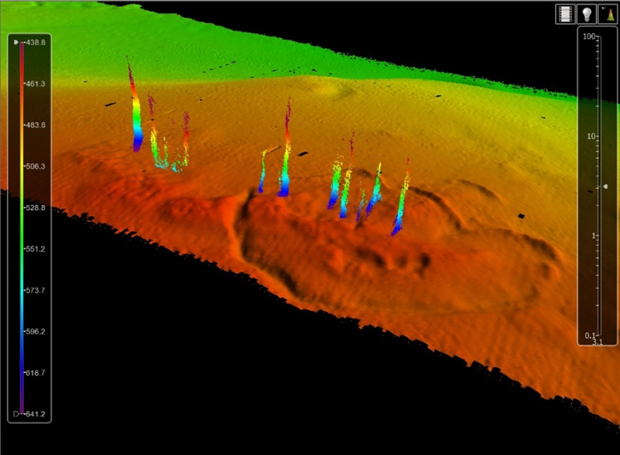
This collaboration, conducted aboard the NOAA Ship Rainier, used hydrographic surveying equipment to collect swath bathymetry, backscatter intensity data, and full water column data within the project areas. The high-resolution geospatial data acquired will provide key baseline data for targeted USGS studies to improve hazard assessment and forecasting for marine geohazards offshore of northern California, Oregon, and Washington. NOAA will also use the data to update nautical charts for safe navigation in the region. Continue reading “NOAA and USGS collaborate to fulfill important agency missions in offshore areas along the West Coast”
From NOAA Ship Fairweather to Mt. Fairweather: Commanding officer summits ship’s namesake
By Cmdr. Mark Van Waes, former commanding officer of NOAA Ship Fairweather
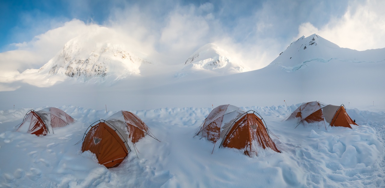
Mount Fairweather stands tall above Glacier Bay National Park and Preserve, dominating the skyline for miles around (when weather permits visibility). Only about 12 miles inshore from the Gulf of Alaska and soaring to 15,325 feet, it is one of the highest coastal peaks in the world.
Continue reading “From NOAA Ship Fairweather to Mt. Fairweather: Commanding officer summits ship’s namesake”

