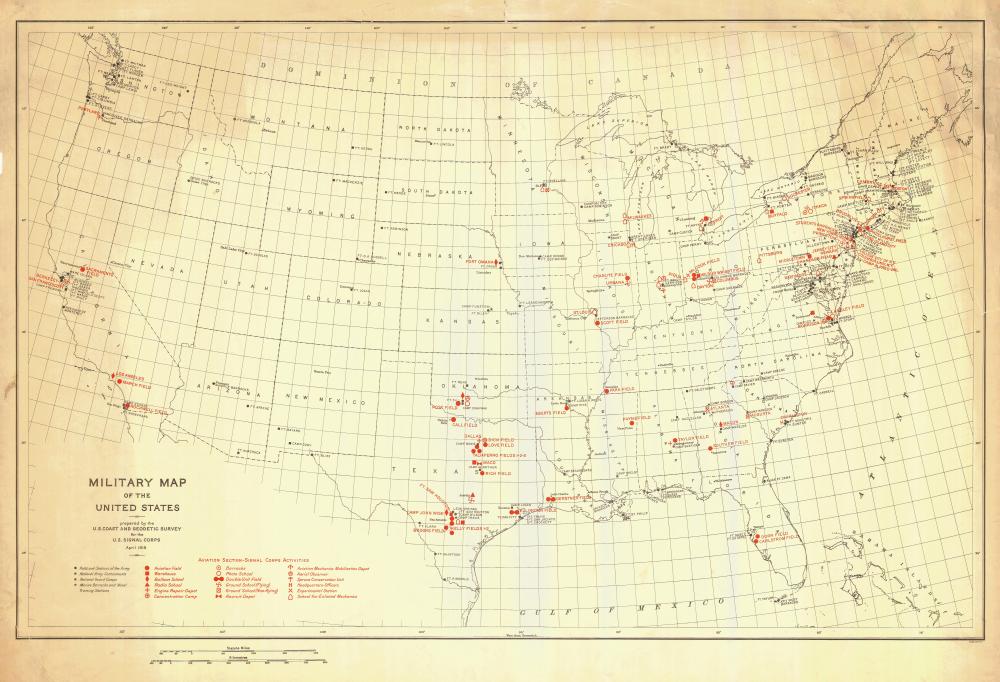
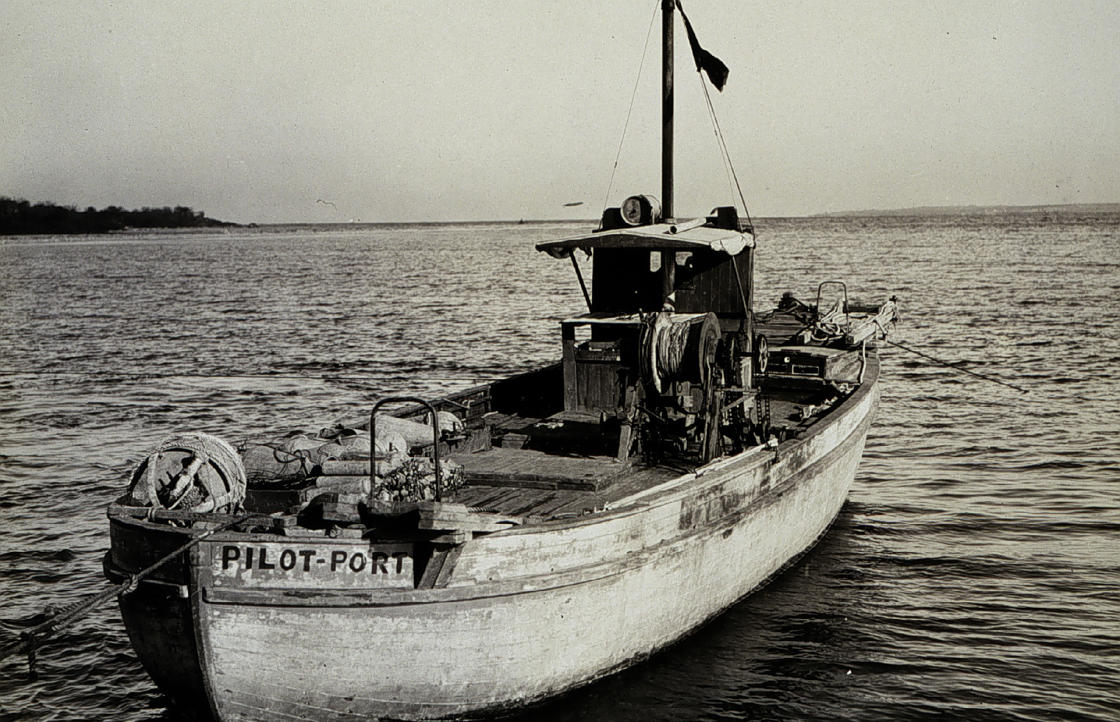
On April 6, 1917, the United States declared war on Germany, in the World War that began three years earlier, when Archduke Franz Ferdinand was assassinated. By 1918, over 30 percent of Coast and Geodetic Survey personnel were on active duty with the Army and Navy. With 272 members of the C&GS in active military service, and 5 survey vessels transferred into naval service, the Survey curtailed much of their regularly scheduled hydrographic work. Instead, personnel directed most of their energies to the assistance of the military branches, with the remaining hydrographic parties conducting special confidential surveys for the Navy Department.

The C&GS 1918 annual report briefly mentioned some of the hydrographic projects:
“Special hydrographic examinations were made by means of the wire drag at points designated by the Navy Department. Among such were the wire-drag surveys in Long Island Sound and in York River (Chesapeake Bay). Quite an extensive wire-drag examination was made of the waters in the vicinity of Eastport, Me. Initial surveys included such work as the location of points for naval fire-control experiments, the reestablishment of the speed-trial course at Lewes, Del., for torpedo-boat destroyers, the location of the Port Jefferson trial course in Long Island Sound, and the Block Island (Rhode Island) trial course.”

Additional war projects included:
- Survey of Hampton Roads naval base, for extensive improvements
- Surveys around the coal piers at Newport News and in the Newport News dredged channel in Hampton Roads, to meet the needs of the Navy Department
- Surveys of the approaches to Portsmouth Harbor NH, approaches to Narrangansett Bay, Long Island Sound, Florida reefs, Cape Cod Canal, and Plymouth Harbor, to “meet the needs of the Navy Department”
- Layout of a one-mile trial course at Alexandria VA, for naval vessels
Additionally, the Navy asked for a survey of the Virgin Islands. In addition to the general survey for the Navy, local naval officials requested a number of small surveys. According to the Coast and Geodetic Survey Annual Report, 1918:
“One topographic party was started on the sheet embracing the town and harbor on April 22. The other party was started on the western sheet May 1. Both continued with only short interruptions for signal building and triangulation the balance of the fiscal year.
“Extreme care was taken to obtain accuracy on the sheet covering the town. An elaborate. control was furnished. The contours were determined with more than ordinary precision, due to the fact that the local government is contemplating installing a water system in the vicinity, and the Coast Survey chart would be studied for a waterworks site.
“At the request of the Navy Department particular stress was given the locating of old ruins, stone walls, boundary monuments, etc. All of this topography was done on a 1:10,000 scale. Twenty-foot contours were determined.
“At the request of the local authorities a special topographic survey was made of a piece of alien property which it was contemplated to seize for military purposes. This survey consisted in locating the shore line, docks, houses, and contours.”
(See chart 905, Virgin Islands, Virgin Gorda to St Thomas and St Croix, 1921, and chart 906, Virgin Passage and Vieques Sound, 1922)
As happened during the Civil War, Coast and Geodetic Survey ramped up their chart production for the war effort – as well as for the United States Shipping Board, formed in 1917 to promote the development of an American merchant marine, and to address shipping problems during time of war.

Map and chart production in 1919 was 136 percent greater than for the year 1915.
In the annual report of 1919, Capt. E. Lester Jones, Coast and Geodetic Survey director from 1915 to 1929, paid tribute to the service of all C&GS personnel through the war:
“This service has 103 years of active history which show that it has never failed in loyalty, no matter what the call. Its members have always given the benefit of their trained thought and well-informed judgment whenever and wherever they were needed and however they could best be used.
“In the great conflict just ended these traditions have been upheld.
“Admiration is due the spirit that has animated each and every member of the United States Coast and Geodetic Survey. To a man there was an instant and eager response to the country’s call for help. At all times, a service which is laboring for the safety of mankind, it stood ready to undertake new work. The kind of work needed was varied-all could not go into battle. The men in the field would have been useless without the executive work behind them at home, and all honor is due them, who, showing a steady, uncompromising moral courage, unmoved by clamor and undisturbed by outer excitement, have kept steadily at their posts, carrying on most successfully the important and necessary work here.
“Those who were sent to the field were simply performing their duty in another way, and established an enviable and remarkable record, showing again their unusual adaptability and training.
“The Bureau was about equally represented in both Army and Navy and performed signal valuable service in each.”
ADDITIONAL READING:
“The 200th Anniversary of the Survey of the Coast,” Prologue Magazine, by John Cloud; National Archives, Spring 2007, Vol. 39, No. 1

