NOAA Office of Coast Survey has some new faces on its leadership team this year.
Director, Coast Survey: Rear Admiral Shepard M. Smith
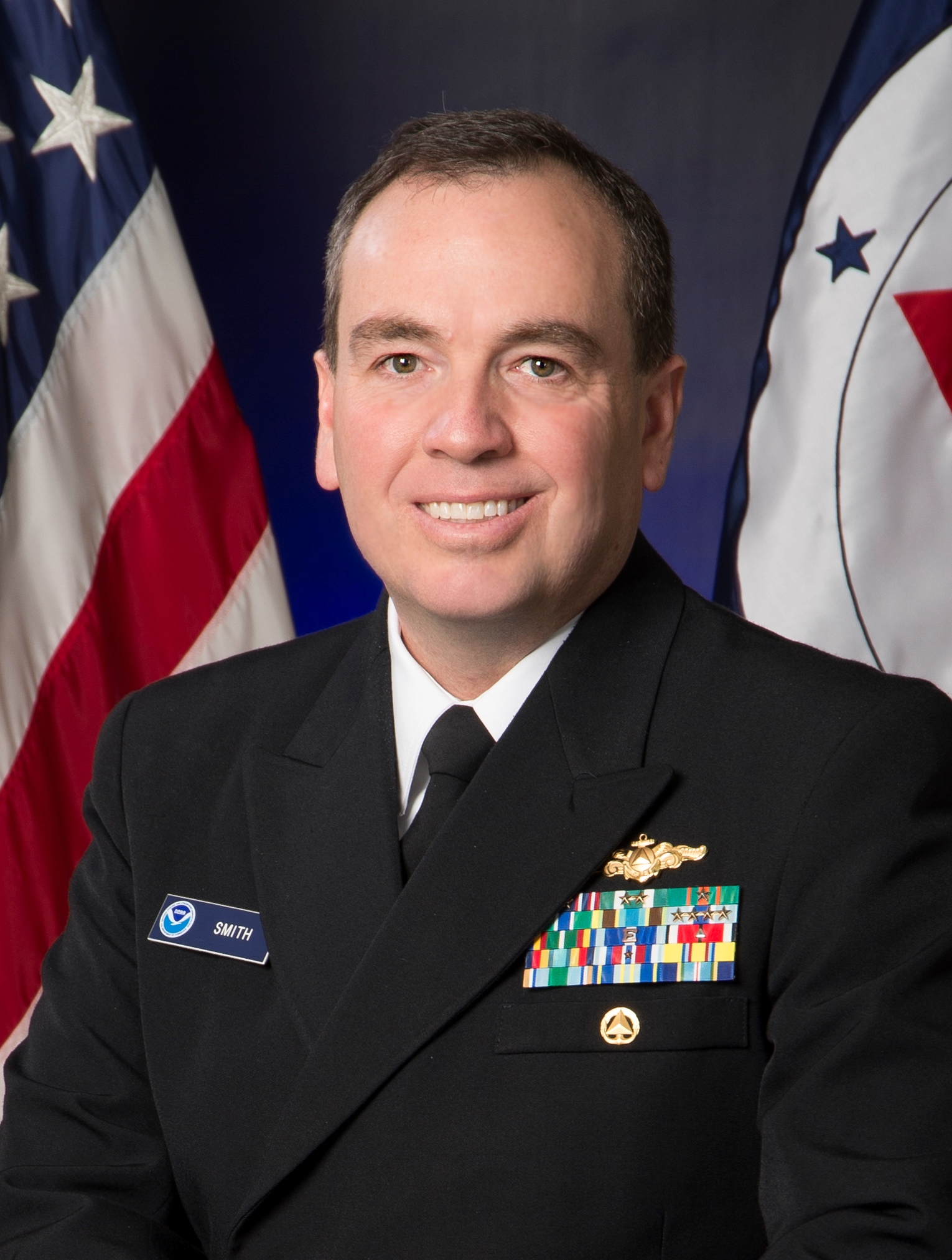 Rear Admiral Shepard M. Smith was named director of the NOAA Office of Coast Survey in August 2016. As director, Smith oversees NOAA’s charts and hydrographic surveys, ushering in the next generation of navigational products and services for mariners who need integrated delivery of coastal data. Smith has served with NOAA for 23 years, during which time he has been deeply involved in advancing the state-of-the-art in hydrography and nautical cartography. He most recently served as the commanding officer of NOAA Ship Thomas Jefferson and previously served as the chief of Coast Survey’s Marine Chart Division, managing the privatization of paper chart printing and distribution. He also served on the interagency response teams for the search and recovery of TWA flight 800, EgyptAir flight 990, and the private plane piloted by John F. Kennedy, Jr. He also commanded the Thomas Jefferson during her six-week response to the Deepwater Horizon oil spill. Rear Adm. Smith attended Deep Springs College and Cornell University, where he graduated with a Bachelor of Science in mechanical engineering and earned a Master of Science in ocean engineering from the University of New Hampshire.
Deputy Director, Coast Survey: Kathryn Ries
 Katie Ries has served as deputy director since 2001, co-leading the workforce of 235 employees and managing the day-to-day operations of Coast Survey’s national program. She also serves as a senior adviser to the director in his role as U.S. representative to the International Hydrographic Organization, and works to advance U.S. positions in IHO policy deliberations. From 2003 to 2012, she chaired the IHO’s MesoAmerican Caribbean Hydrographic Commission’s Electronic Chart Committee, where she led the development and execution of regional charting plans in Caribbean and Central America. With the opening of relations with Cuba, she led the development of a formal working relationship with our Cuban counterparts, resulting in a historic Memorandum of Understanding in 2016 to improve maritime navigation safety and related areas of mutual interest in the Florida Straits. Ries began her career in NOAA as a Presidential Management Fellow in the International Affairs office. She earned a Bachelor of Science from the University of California at Berkeley, and a Master of Art in international public administration from the Monterey Institute of International Studies in 1986.
Deputy Hydrographer (Acting), Coast Survey: Rachel Medley
 Rachel Medley is the acting deputy hydrographer in Coast Survey, where she focuses on external engagement and messaging strategies, making connections and identifying opportunities between NOAA navigation services and maritime interests. Rachel has long held the mantra of science with purpose and has spent the last decade gaining expertise in charting, hydrographic surveying, and navigation outreach to better understand and communicate Coast Survey’s science, products, and services. Experiences sailing aboard the USCG Cutter Healy as part of an Arctic survey, surveying the Potomac River aboard a navigation response team, and participating in the NOAA response effort to Deep Water Horizon aboard the NOAA Ship Pisces have helped shape Rachel’s dedication and service to the maritime community. Rachel also represented NOAA while on a secondment to the United Kingdom Hydrographic Office acquiring knowledge of international standards, policies, procedures, market and product management, and corporate communications plans. Rachel attended Mount Holyoke College as an undergrad, holds a Master of Science in geosciences from the University of Massachusetts, Amherst, and a Master of Science in ocean mapping from the University of New Hampshire. Rachel also has a Master of Science in project management from George Washington University and a LEAD certificate from the Office of Personnel Management.
Resource Manager, Coast Survey: Kathleen Jamison
 Since 2012, Kathleen has worked for the Coast Survey’s resource management staff, formulating the President’s Budget narrative submissions and other budget scenarios for different funding levels, developing performance metrics for the annual operating plan, preparing testimony for the director, and helping the office strategically position itself for the changing world of nautical charting and hydrographic surveying. Kathleen started at Coast Survey as a nautical cartographer in 2006 before moving into managing hydrographic survey projects, primarily in the Gulf of Mexico. Kathleen participated in NOAA’s Leadership Competency Development Program from 2014-16, including rotations at Gray’s Reef National Marine Sanctuary, National Centers for Environmental Information, and National Sea Grant Office. Prior to Kathleen’s career at NOAA, she worked as a grant writer for a non-profit supporting D.C. Public Charter Schools and as a division assistant for arts education at the National Endowment for the Arts. She received her Bachelor of Art in humanities from University of Maryland and her Master of Science in geographic and cartographic sciences from George Mason University.
NOAA/University of New Hampshire Joint Hydrographic Center: Andy Armstrong
 Captain Andy Armstrong (NOAA, ret.) is co-director of the NOAA/University of New Hampshire Joint Hydrographic Center where he leads NOAA’s role in the research, mapping, and educational programs of the center. He is also the bathymetric team leader for the U.S. Interagency Extended Continental Shelf Task Project where he has been responsible for mapping nearly 875,000 square nautical miles of the seafloor in the Arctic Ocean, the U.S. Pacific Islands, and along the U.S. Atlantic and Pacific margins. Andy joined the NOAA Commissioned Officer Corps in 1974, following 4 years of service in the U.S. Navy. He retired from the NOAA Corps in 2001, continuing with NOAA as Co-Director of the Joint Hydrographic Center in a civil service capacity. He has served on several NOAA hydrographic ships and field parties, conducting hydrographic and bathymetric surveys in Alaska and Hawaii, along the Pacific, Atlantic, Gulf of Mexico coasts, and in the Great Lakes. He served as commanding officer of NOAA Ship Peirce and NOAA Ship Whiting, and as chief of NOAA’s Hydrographic Surveys Division. He has a Bachelor of Science in geology from Tulane University and an Master of Science in technical management from The Johns Hopkins University.
NOAA Integrated Ocean and Coastal Mapping: Ashley Chappell
 Ashley Chappell has served as NOAA’s Integrated Ocean and Coastal Mapping (IOCM) coordinator since 2012, working across NOAA and with sister mapping agencies on strategies for data acquisition, stewardship, and re-use. She also represents the National Ocean Service on the NOAA Arctic team and co-chairs the Committee on Marine Transportation System‘s Arctic team. Prior to IOCM, Ashley supported Coast Survey and NOAA on budget formulation, performance metrics, policy, and legislation. She started with NOAA as a cartographer, and nautical charting data is her first love. Ashley’s undergraduate degree in geography came from the University of North Carolina at Chapel Hill (winner of 2017’s NCAA men’s basketball championship, in case you had not heard). She earned her Master of Science in geographic and cartographic sciences from George Mason University.
Chief of the Hydrographic Surveys Division: Captain Richard Brennan
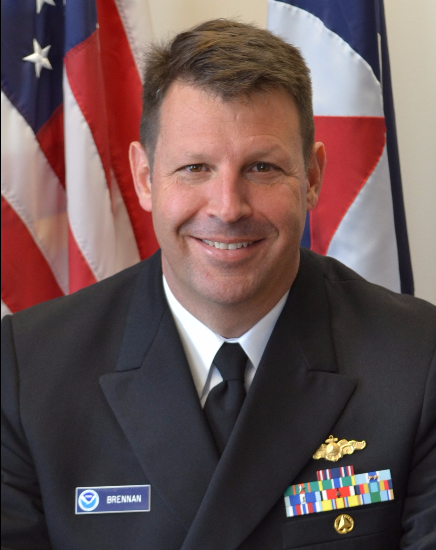 Captain Brennan has served with the NOAA Corps for over 20 years, most recently as the chief of the Coast Survey Development Lab. He has sailed on nearly every hydrographic ship in the modern NOAA fleet. He has conducted surveys throughout U.S. waters, through the Gulf of Mexico and Caribbean to the Gulf of Maine, and from the Oregon coast to Chukchi Cap in the Arctic Ocean. Brennan’s most recent sea assignment was as the commanding officer of the NOAA Ship Rainier, surveying Alaskan waters. Captain Brennan has also served as chief of Coast Survey’s Atlantic Hydrographic Branch and as the mid-Atlantic navigation manager. Earlier, Brennan pursued a Master of Science degree in ocean engineering at the University of New Hampshire’s Center for Coastal and Ocean Mapping, specializing in ocean mapping, acoustics, and tidal error models. After that, he led the Hydrographic Systems and Technology Program at NOAA, with a focus on transitioning new technology into fleet operations. Captain Brennan graduated from the Citadel in Charleston, South Carolina, with a Bachelor of Science degree in civil engineering. He completed the Harvard Kennedy School Senior Executive Fellows program in 2013.
Chief of the Coast Survey Development Laboratory: Captain Edward (E.J.) Van Den Ameele
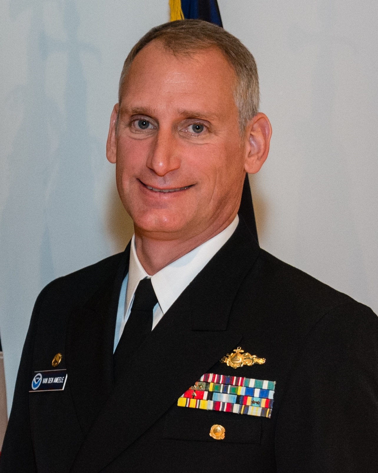 Captain Van Den Ameele has served 23 years in the NOAA Corps, where he has spent the majority of his career in hydrographic survey operations, marine technology implementation, and business process improvements. Prior to joining the Coast Survey Development Laboratory, he was commanding officer of NOAA Ship Rainier, conducting hydrographic surveys in the Pacific Northwest, Alaska, and the Arctic. He has also previously served aboard NOAA Ships Mount Mitchell, Surveyor, Rainier, and Fairweather. His previous assignments include serving as chief of business operations at Office of Marine and Aviation Operation’s Marine Engineering Branch in Newport, Oregon, and as the chief of the Coast Survey’s Hydrographic Systems and Technology Program. He has also held assignments at the Atlantic Hydrographic Branch in Norfolk, Virginia, and the Pacific Hydrographic Branch in Seattle, Washington. He holds a bachelor’s degree in engineering from Lafayette College in Easton, Pennsylvania, a master’s certificate in technology management from the University of Washington.
Chief of the Marine Chart Division: John Nyberg
 John Nyberg served as the deputy chief of the Marine Chart Division from 2010 to 2014, and was named chief in July 2014. As deputy, he helped direct Coast Survey’s chart modernization to digital products, changing the operational focus from paper-based chart compilation to electronic navigational charts. Prior to his work in the Marine Chart Division, Nyberg was deputy chief of Coast Survey’s Navigation Services Division, moving to the leadership position after working as a technical advisor and United States Coast Pilot cartographer. During his 12 years with NSD, he helped manage the procurement of the research vessel Bay Hydrographer II, initiated the modernization of the United States Coast Pilot’s production system, and served as acting navigation manager for Long Island Sound. Nyberg has a bachelor’s degree from the University of Florida, with a major in geography. In 2006, he earned his master’s in international management from the University of Maryland University College.
Chief of the Navigation Services Division: Captain James Crocker
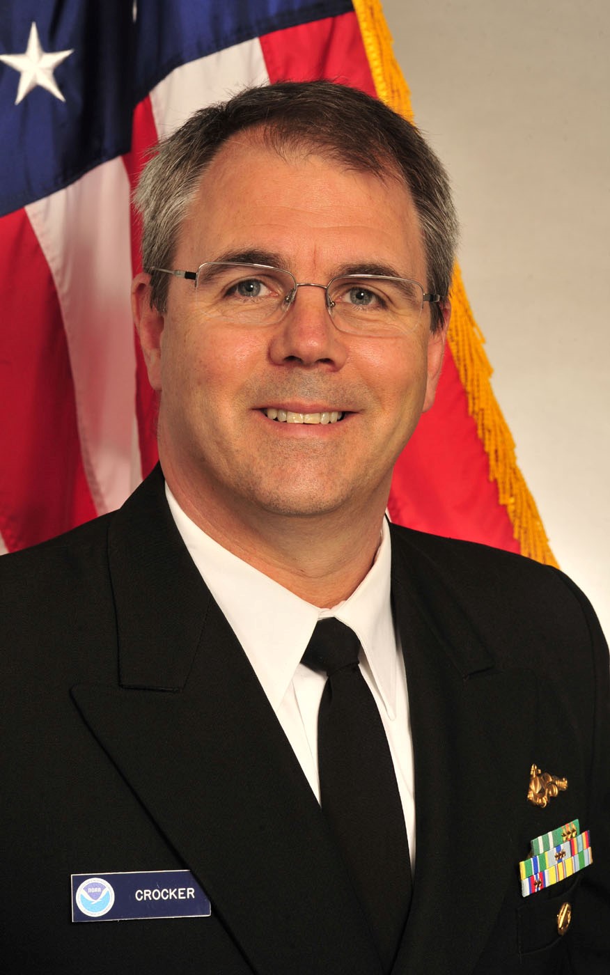 Captain Crocker has served with the NOAA Corps for 23 years. Most recently, he was the executive director to the Deputy Under Secretary for Operations where he was responsible for executing operational management and policy coordination activities across NOAA’s line and corporate offices. His responsibilities also included serving as a senior advisor to the Deputy Under Secretary. Crocker has conducted hydrographic survey operations from Texas to Maine and from Southern California to the North Slope of Alaska. He recently completed highly successful back-to-back tours of duty as commanding officer of NOAA ships Fairweather and Thomas Jefferson. While serving as commanding officer on Fairweather, he led the first Arctic reconnaissance survey conducted by a NOAA ship to the U.S./Canadian border. Additional NOAA sea experience includes hydrographic survey operations as executive officer on Thomas Jefferson and Rude, and junior officer on Rainier and Heck. Prior to his commands, Capt. Crocker was the chief of operations for the Hydrographic Surveys Division. He holds a Master of Business Administration degree in general management from the College of William & Mary and Bachelor of Science degrees in physical oceanography and ocean engineering from the Florida Institute of Technology.
News and Updates
A most impressive Team, indeed!
Charles A. Burroughs
Captain, NOAA (Ret)