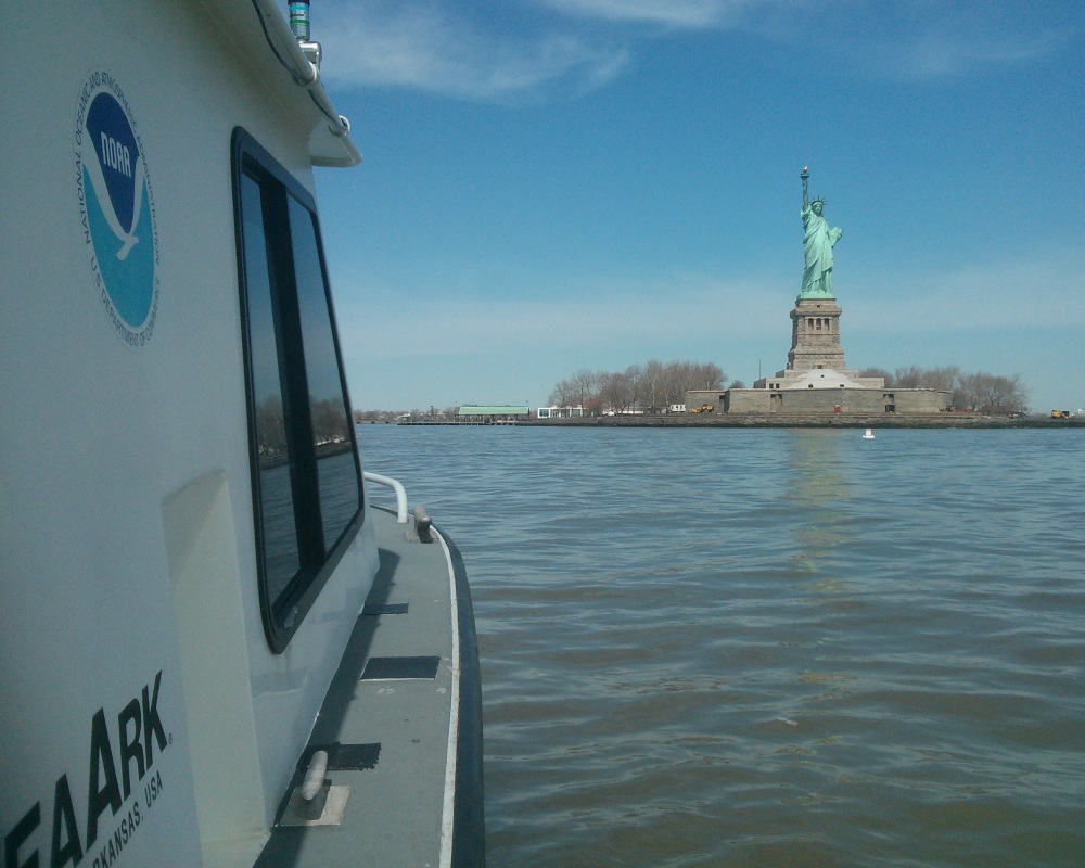
NOAA kicked off its spring season for post-Sandy hydrographic work on April 11, as a navigation response team — equipped with high-tech surveying equipment — began a search for underwater storm debris and mapped the depths surrounding Liberty Island and Ellis Island. Navigation Response Team 5 wrapped up their project today, after surveying over 110 linear nautical miles. They surveyed for 119 hours, collecting over 578 million depth measurements.
In addition to surveying around Liberty Island and Ellis Island, Coast Survey’s NRT5 surveyed adjacent areas to acquire data for updates to NOAA’s nautical charts. This is the “rainbow” coverage map that shows the surveyed area. (The colors indicate depth.)

NRT5 was one of the first in-water responders to help re-open the Port of New York and New Jersey immediately after Hurricane Sandy hit last year. They returned in April at the request of the National Park Service, which is working to re-establish safe navigation and docking at the Statue of Liberty, in preparation for its planned re-opening on July 4, 2013.
Dr. David Conlin, chief of the National Park Service’s Submerged Resources Center, expressed his appreciation for the special survey at Liberty Island.

“The Park Service needs highly qualified hydrographic assistance as we move forward with repairs to Liberty Island’s permanent docks and as we make sure surrounding waters are safe for passenger ferries and private vessels,” Conlin explained. “We are very pleased that Coast Survey is stepping up to help re-open this icon for the American people.”
Equipped with multibeam echo-sounding technology and side scan sonar, NRT5 looked for storm debris and identified areas that have depths suitable for the installation of temporary floating docks. NRT5 will deliver survey results (including any pertinent images) to the National Park Service Submerged Resources Center. After further processing, the data will also be forwarded to Coast Survey’s Marine Chart Division, where cartographers will apply new data to NOAA’s nautical charts. NRT5 found no dangers that would warrant an immediate Notice to Mariners — feature evaluations are ongoing.
Navigation Response Team 5 members are Lt. Steven Loy, and physical science technicians Matt Andring and Philip Sparr.

Glad to see some surveying was done in the basin behind the Statue of Liberty and areas around Ellis Island. I often anchor in these areas while waiting for favorable tides to head up the Hudson or transit through New York Harbor. I hope these new survey data will be updated on charts soon.
I didn’t see any legend with this map to explain what depth to which each color corresponded. Could someone enlighten me?