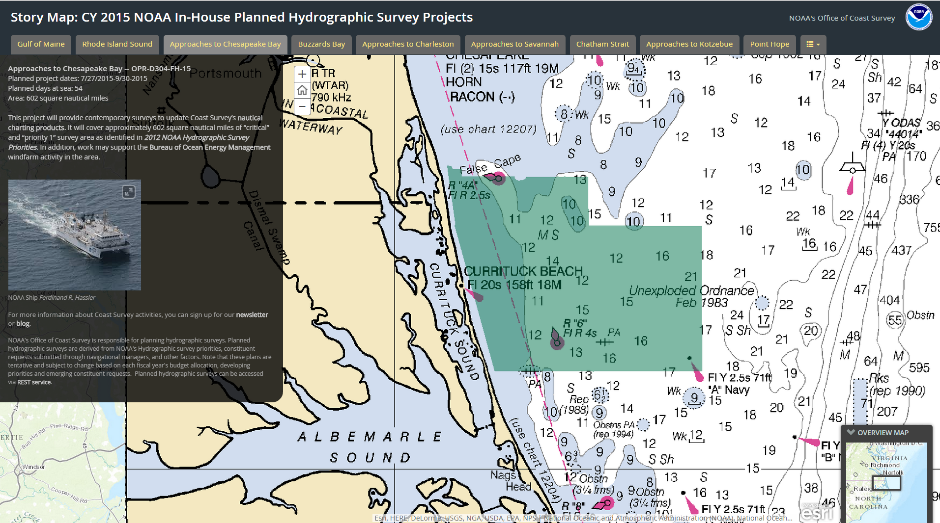
In 2015, NOAA survey ships Thomas Jefferson and Ferdinand R. Hassler are scheduled to survey nearly 1,800 square nautical miles in the U.S. coastal waters of the lower 48 states, collecting data that will update nautical charts for navigation and other uses. In Alaska, NOAA ships Fairweather and Rainier will increase their Arctic operations, planning to acquire 12,000 nautical miles of “trackline” depth measurements of the U.S. Coast Guard’s proposed shipping route. (See this NOAA article.) The ships will also conduct several “full bottom” hydrographic survey projects, acquiring data from over 2,800 square nautical miles in survey areas along the Alaskan coastline.
We are also planning several projects for our contractual private sector survey partners, and those projects will be announced after work orders are finalized.
Continue reading “Coast Survey announces plans for 2015 NOAA survey projects”
NOAA R/V Bay Hydro II has a ball meeting the public in Baltimore!
Last week we blogged about Coast Survey’s research vessel Bay Hydro II, a small hydro research vessel that delivers big results. The vessel was heading into Baltimore Harbor for five days of public tours at Star Spangled Spectacular.
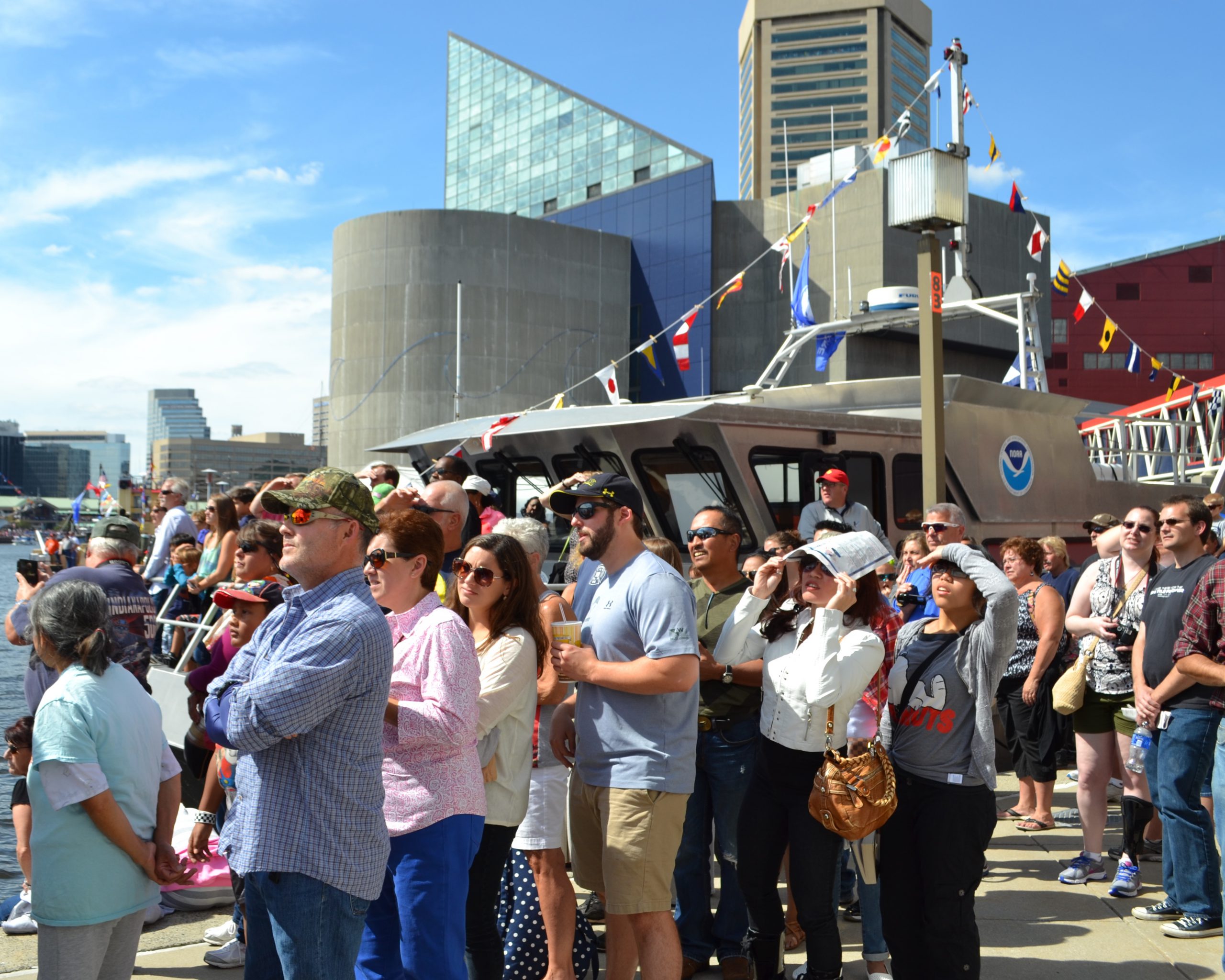
The Bay Hydro II crew and headquarters personnel had a great time with everyone — from the kids who learned about charts from an admiral, to the map geeks who enjoyed a discussion down in the hydro weeds. More than 4,000 people toured the Bay Hydro II during the celebration, and we hope they all learned at least a little about hydrographic surveying and nautical charts.
Continue reading “NOAA R/V Bay Hydro II has a ball meeting the public in Baltimore!”
Coast Survey supports inauguration preparations
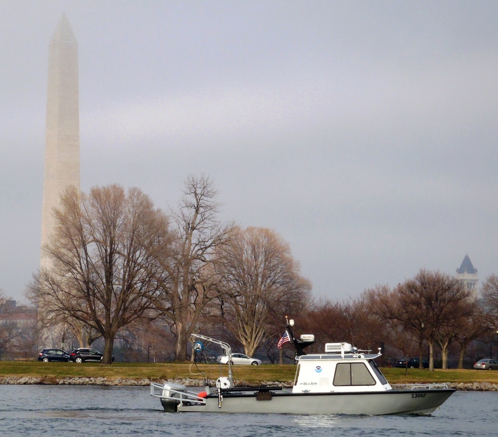
It was an honor to assist with preparations for the Presidential Inaugural. Our assistance, provided before the event, was a combined effort by one of our navigation response teams, survey technicians, cartographers, and several NOAA officers. Coast Survey’s work was additionally supported by colleagues at NOAA’s Center for Operational Oceanographic Products and Services.

For more about navigational planning for the Potomac River, see Coast Guard to establish security zone for the presidential inauguration.


