As the nation’s nautical chartmaker, Coast Survey produces the country’s traditional paper charts for coastal waters, territorial waters, and the Great Lakes. We maintain the Print-on-Demand charts that you can purchase from OceanGraphix and East View Geospatial. We make the nation’s raster navigational charts (NOAA RNC®) and electronic navigational charts (NOAA ENC®). And the free downloadable BookletCharts. But did you know we produce international charts, too? NOAA has five international charts covering the Northeastern Pacific Ocean and the Bering Sea… and we just published our sixth, for the opposite coast.
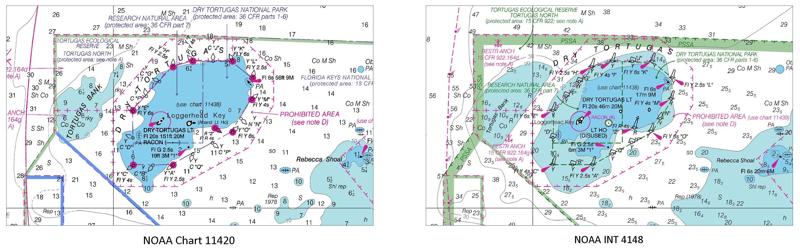
International mariners entering U.S. waters around southwestern Florida now have a new international (INT) nautical chart to help ease their transit. The new chart, INT 4148, has the same information as Chart 11420, Havana to Tampa Bay, but the depictions are converted to the metric system. (Most U.S. charts use either feet or fathoms for depth measurements). INT charts also use some different symbology, so Coast Survey makes those modifications as well.
Continue reading “Coast Survey publishes new international chart for navigation between Florida and Cuba”
News and Updates