
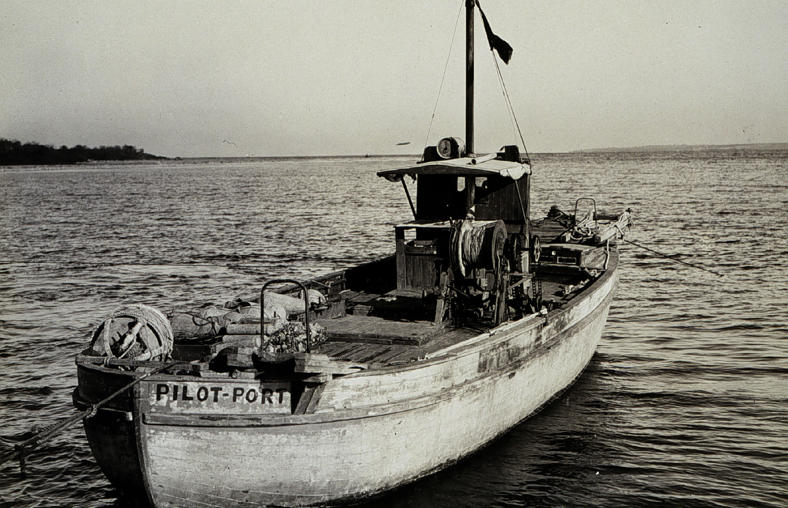
Sandy shoals in certain near shore areas shift continuously and present a danger to navigation. It is logistically impossible to keep nautical charts current using the traditional survey methods when the bottom contours change so rapidly. NOAA’s Office of Coast Survey leverages remote sensing data in new ways to derive bathymetry for the purposes of updating nautical charts in dynamic coastal areas. An exciting new method Coast Survey is exploring is X-band radar wave imaging. Marine radar is not a new technology, however, there are advantages to exploring old technology for new purposes. Many NOAA vessels and other coastal installations are already equipped with the hardware to facilitate this type of data acquisition. Continue reading “Teaming up with small business to expand hydrographic technology”
NOAA Coast Survey 2017 leadership team
NOAA Office of Coast Survey has some new faces on its leadership team this year.
Director, Coast Survey: Rear Admiral Shepard M. Smith
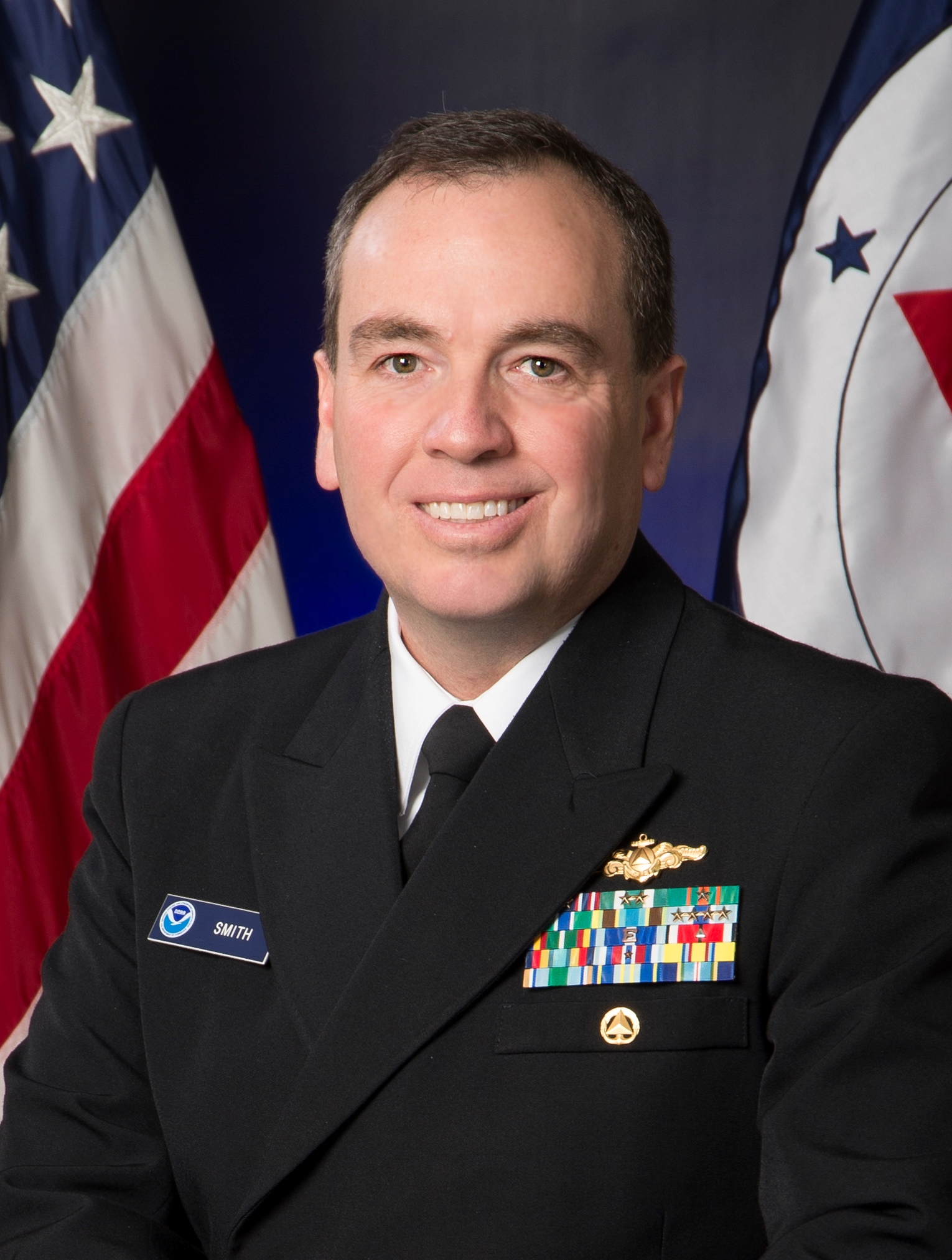 Rear Admiral Shepard M. Smith was named director of the NOAA Office of Coast Survey in August 2016. As director, Smith oversees NOAA’s charts and hydrographic surveys, ushering in the next generation of navigational products and services for mariners who need integrated delivery of coastal data. Smith has served with NOAA for 23 years, during which time he has been deeply involved in advancing the state-of-the-art in hydrography and nautical cartography. He most recently served as the commanding officer of NOAA Ship Thomas Jefferson and previously served as the chief of Coast Survey’s Marine Chart Division, managing the privatization of paper chart printing and distribution. He also served on the interagency response teams for the search and recovery of TWA flight 800, EgyptAir flight 990, and the private plane piloted by John F. Kennedy, Jr. He also commanded the Thomas Jefferson during her six-week response to the Deepwater Horizon oil spill. Rear Adm. Smith attended Deep Springs College and Cornell University, where he graduated with a Bachelor of Science in mechanical engineering and earned a Master of Science in ocean engineering from the University of New Hampshire. Continue reading “NOAA Coast Survey 2017 leadership team”
Coast Survey in World War 1: “an instant and eager response to the country’s call for help”
On April 6, 1917, the United States declared war on Germany, in the World War that began three years earlier, when Archduke Franz Ferdinand was assassinated. By 1918, over 30 percent of Coast and Geodetic Survey personnel were on active duty with the Army and Navy. With 272 members of the C&GS in active military service, and 5 survey vessels transferred into naval service, the Survey curtailed much of their regularly scheduled hydrographic work. Instead, personnel directed most of their energies to the assistance of the military branches, with the remaining hydrographic parties conducting special confidential surveys for the Navy Department. Continue reading “Coast Survey in World War 1: “an instant and eager response to the country’s call for help””
NOAA Coast Survey offers new certification program in nautical cartography

The International Board on Standards and Competence for Hydrographic Surveyors and Nautical Cartographers (IBSC) recognized and approved Coast Survey’s new certification program in cartography (CAT-B) at their 40th meeting in Willington, New Zealand. Capt. Andy Armstrong (NOAA, ret.), co-director of the Center for Coastal & Ocean Mapping/Joint Hydrographic Center at the University of New Hampshire, presented the program at the meeting. Continue reading “NOAA Coast Survey offers new certification program in nautical cartography”
NOAA wants to learn from you

Coast Survey is in a constant conversation with chart users, marine electronics firms, and maritime officials, listening to the ideas and observations of the people we serve. We want to hear from you!
There are several ways to make a request or suggest an improvement to Coast Survey’s navigational products. You can let us know about a chart discrepancy. You can ask a question online, or call us at 888-990-6622. You can meet with one of our regional navigation managers who are stationed around the U.S. coasts. Or, you can get involved through the Hydrographic Services Review Panel, a federal committee – with public members – who interact with NOAA experts and advise the NOAA administrator. Continue reading “NOAA wants to learn from you”
Coast Survey joins Florida to survey sensitive site

One of Coast Survey’s navigation response teams (NRT) recently responded to a request by the State of Florida, who needed help surveying a submerged prehistoric archaeological site located offshore of Sarasota County. Last week’s survey and investigation were necessary to map the full extent of the site and the surrounding area. Continue reading “Coast Survey joins Florida to survey sensitive site”
Collaborative effort to create new nautical chart returns recreational boaters to Haverhill, Massachusetts
NOAA’s Office of Coast Survey released a new electronic navigation chart (NOAA ENC®) of Haverhill, Massachusetts, and the Merrimack River (US5MA1AM). With this new chart, recreational boaters now can safely navigate the Merrimack River from the entrance at Newburyport all the way to Haverhill, just in time for boating season.
Haverhill is a historic New England town that has recently undergone an urban renewal with new federal, state, and private investment in the downtown and waterfront areas. Until now, this area of the river was not depicted at an appropriate scale on a nautical chart for recreational boaters to navigate safely. The community of Haverhill recognized the importance of recreational boaters to their local economy and led a grassroots effort to have a new chart created. Continue reading “Collaborative effort to create new nautical chart returns recreational boaters to Haverhill, Massachusetts”
NOAA releases 2017 hydrographic survey season plans
NOAA’s Office of Coast Survey maintains the nautical charts and publications for U.S. coasts and the Great Lakes. This is over a thousand charts covering 95,000 miles of shoreline and 3.4 million square nautical miles of waters. Measuring depths and determining new dangers to navigation in this large area is a monumental job given the seafloor is constantly changing.
One of NOAA Coast Survey’s biggest tasks during the winter months is to plan hydrographic survey projects for the coming field season. Survey planners consider requests from stakeholders such as marine pilots, local port authorities, the Coast Guard, and the boating community, and also consider other hydrographic priorities in determining where to survey and when. Continue reading “NOAA releases 2017 hydrographic survey season plans”
Do you need a new chart?
New update information service makes decisions easier
NOAA privatized printing of paper nautical charts in 2014 and, in the ensuing years, focused on modernizing chart compilation and production. Those recent changes allow us to update both paper and digital charts on a weekly basis. However, mariners still have had to deal with a cumbersome Local Notice to Mariners process to get important (or less than important) updates to the charts that they already own. Coast Survey is now making life a little easier for chart users. Continue reading “Do you need a new chart?”
It wasn’t just Jefferson. Congress initiated Coast Survey legislation, approved #OTD 210 years ago
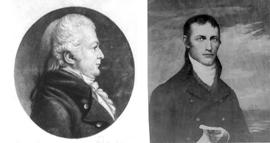
On this date in 1807, President Thomas Jefferson approved an act to provide for surveying the coasts of the United States. NOAA has long honored Jefferson — but what of the legislators who saw the need, wrote the bill, and sent it to the president?
On December 15, 1806, Samuel W. Dana (CT) introduced a resolution instructing the House of Representatives’ Committee of Commerce and Manufactures to “inquire into the expediency of making provision for a survey of the coasts of the United States, designating the several islands, with the shoals and roads, or places of anchorage, within twenty leagues of any part of the shores of the United States.” Dana was joined in debate by Jacob Crowninshield (MA-2), the chair of the Committee of Commerce and Manufactures. Continue reading “It wasn’t just Jefferson. Congress initiated Coast Survey legislation, approved #OTD 210 years ago”