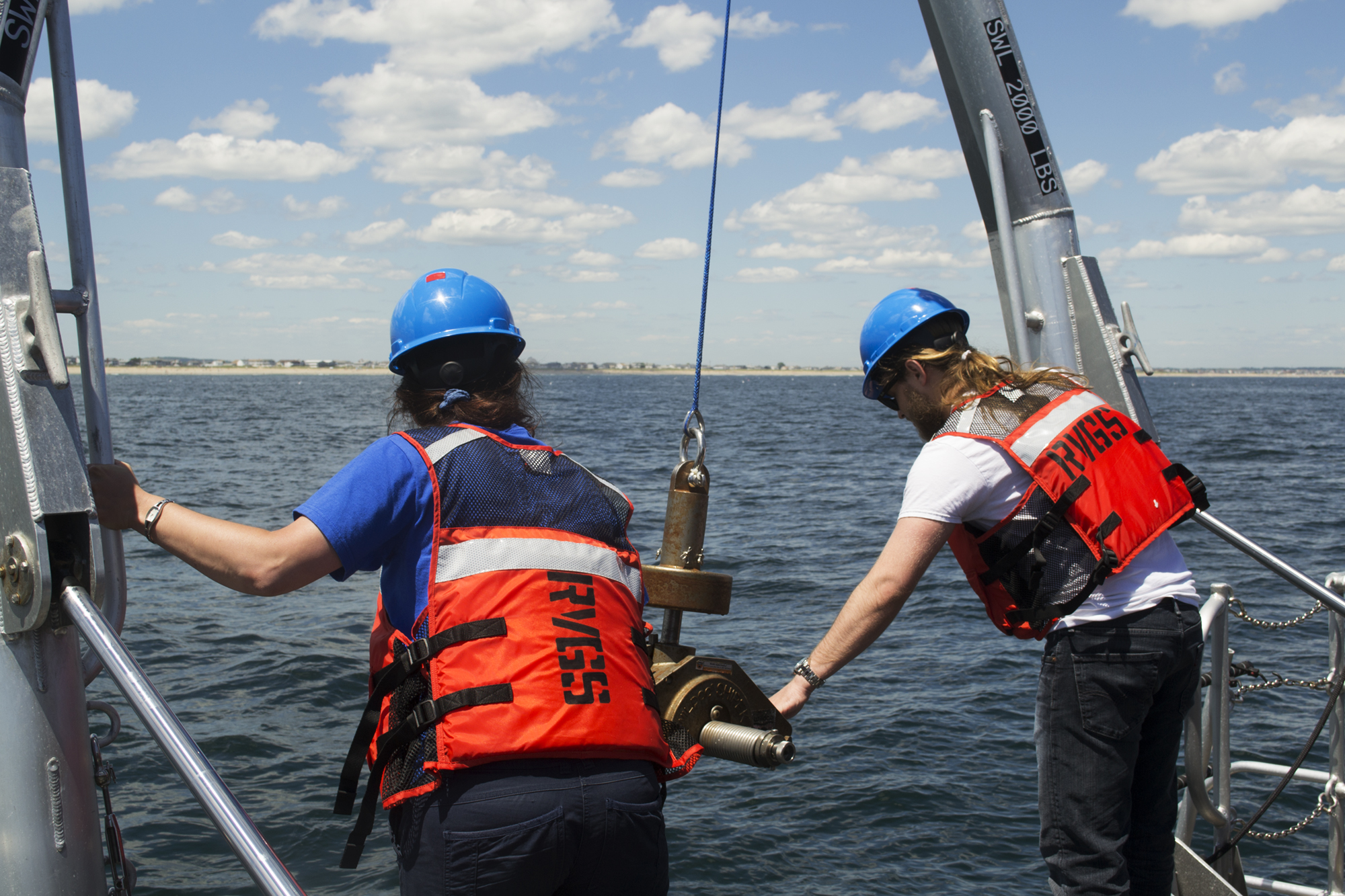
NOAA’s Office of Coast Survey awarded a 5-year cooperative agreement to the University of New Hampshire for the continuation of the Joint Hydrographic Center. The Joint Hydrographic Center is a NOAA/University research and education partnership aimed at maintaining a world-leading center of excellence in hydrography and ocean mapping. The new award, which will begin in January 2021, will build on the work of the Center since its founding in 1999.
Continue reading “NOAA awards cooperative agreement to UNH/NOAA Joint Hydrographic Center”NOAA Coast Survey’s new strategy supports charting mandates and broader seafloor mapping
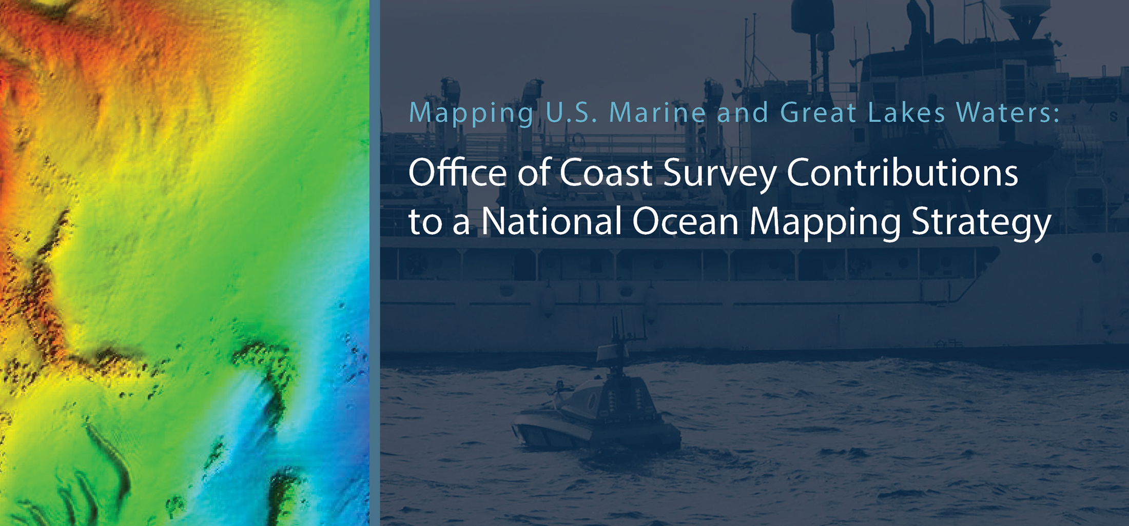
This week, NOAA’s Office of Coast Survey released the Mapping U.S. Marine and Great Lakes Waters: Office of Coast Survey Contributions to a National Ocean Mapping Strategy. This report is part of NOAA’s ongoing commitment to meet core surveying and nautical charting mandates while supporting broader needs to fill gaps in seafloor mapping and environmental sciences.
Continue reading “NOAA Coast Survey’s new strategy supports charting mandates and broader seafloor mapping”NOAA hosts 2019 Nautical Cartography Open House and Chart Adequacy Workshop
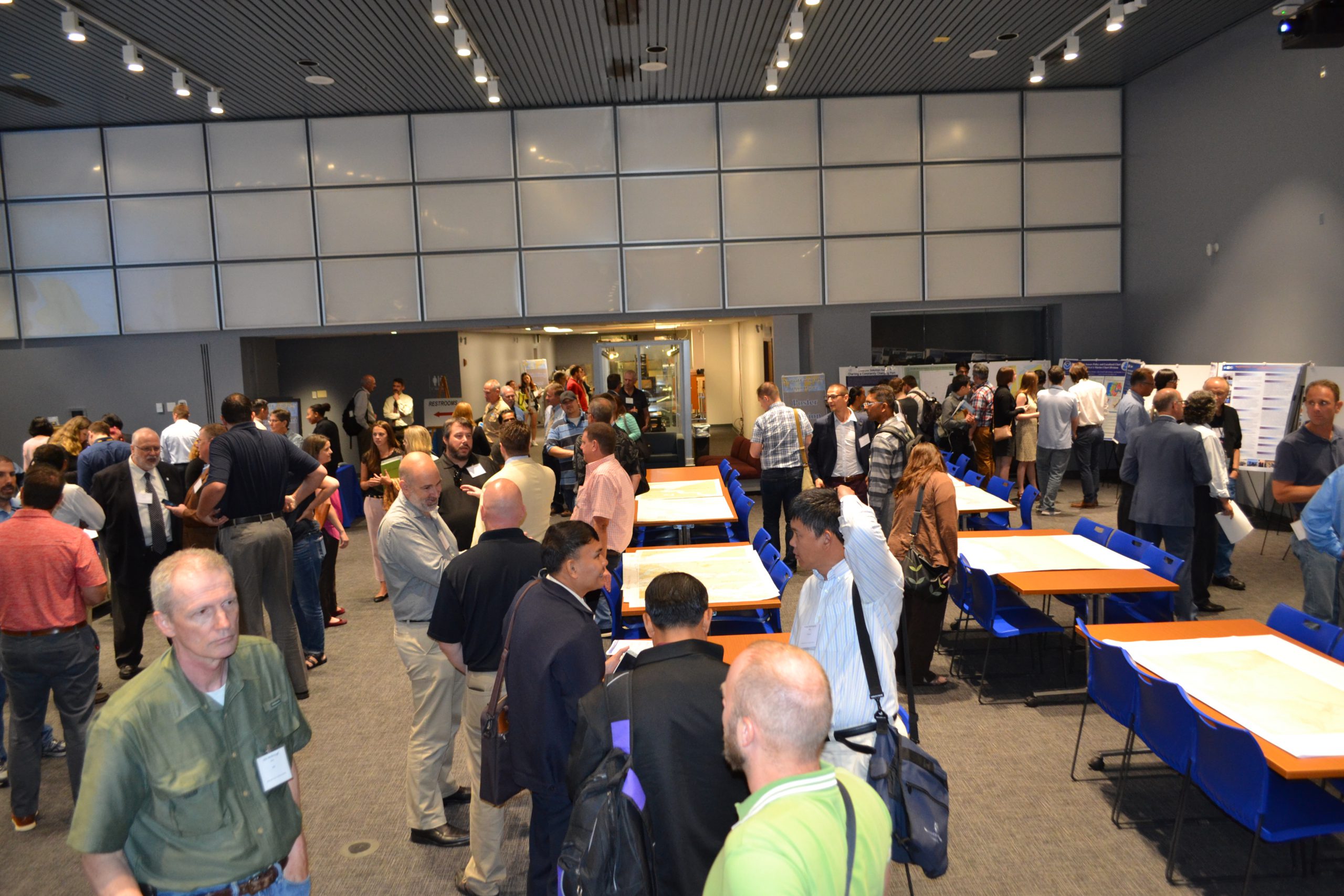
Last week, NOAA’s Office of Coast Survey held its third annual Nautical Cartography Open House welcoming over 250 attendees from the U.S. and abroad. Government agencies, industry and academic partners, and members of the public attended. The open house featured posters, presentations, tours, and exhibits centered around four themes: Bathymetric Databases, Custom Charting, Innovative Cartography, and Precision Navigation. Dr. Shachak Pe’eri, organizer of the event and chief of the Cartographic Support Branch in the Marine Chart Division, welcomed attendees in the morning and John Nyberg, chief of the Marine Chart Division, gave the keynote speech.
Continue reading “NOAA hosts 2019 Nautical Cartography Open House and Chart Adequacy Workshop”NOAA hosts third annual workshop on nautical chart adequacy
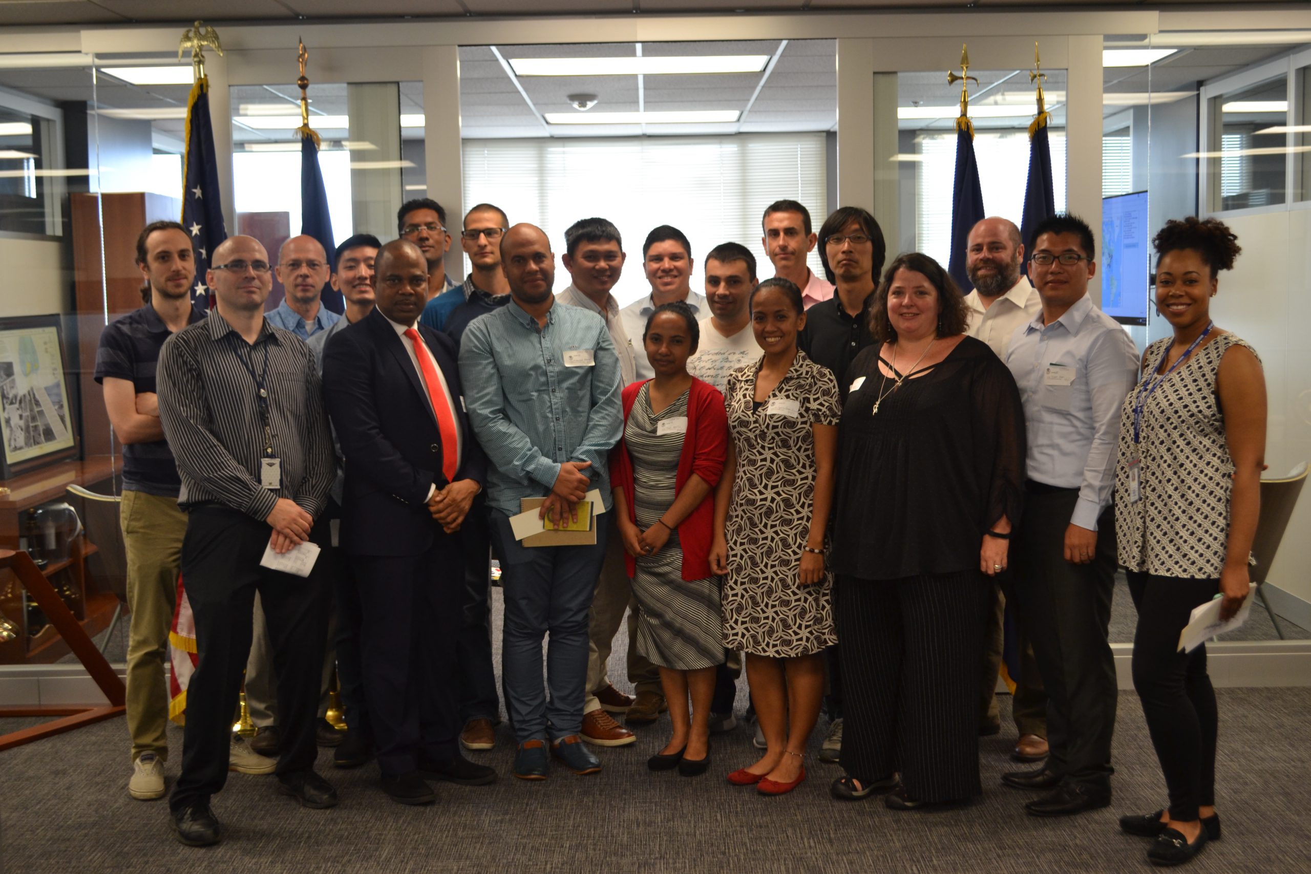
This week, NOAA’s Office of Coast Survey hosted its third annual workshop on nautical chart adequacy. Twelve students participated in the training and learned techniques to evaluate the suitability of nautical chart products using chart quality and publicly available information. This year’s workshop emphasized cartography and the ability to transfer NOAA procedures to the students’ charting products. The workshop provided a theoretical background on:
- Chart production at NOAA
- Review of NOAA charted symbols and abbreviations
- Review of automatic identification systems (AIS) and satellite-derived bathymetry (SDB)
- Overview of the chart adequacy procedure
Continue reading “NOAA hosts third annual workshop on nautical chart adequacy”
NOAA hosts first open house on nautical cartography
NOAA’s Office of Coast Survey hosted the first NOAA open house on nautical cartography on Friday, July 7th. The event featured posters, presentations, and tours focusing on nautical cartography, highlighting the field of charting and GIS. Industry partners such as ESRI, CARIS, Fugro Palegos, Inc., and IIC Technologies, international mapping groups such as Cartography and Geographic Information Society (CaGIS) and General Bathymetric Chart of the Oceans (GEBCO), government agencies such as U.S. Army Corps of Engineers and the Navy, and many international charting offices were in attendance. The open house welcomed a total of 200 visitors, representing 24 countries. Continue reading “NOAA hosts first open house on nautical cartography”
NOAA announces open house on nautical cartography
NOAA’s Office of Coast Survey is pleased to announce its first one-day open house in conjunction with the International Cartographic Conference (held this year in Washington, DC, at Marriott Wardman Park). This one-day event will focus on nautical cartography, highlighting the field of charting and GIS. It will offer nautical cartography-themed posters, presentations, tours, and exhibits. Participants will include industry partners, government agencies, and charting offices from around the world. This event is open to the public. Continue reading “NOAA announces open house on nautical cartography”


