Have you ever wondered what it is like to work on a NOAA navigation response team (NRT) or what makes our team members experts in their field?
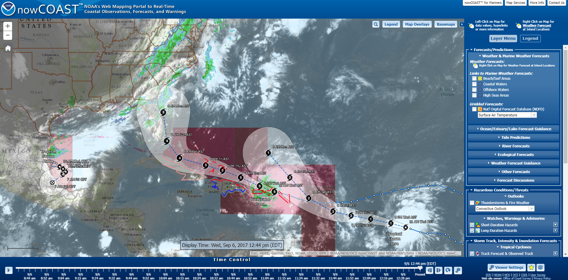
The Office of Coast Survey deploys NRTs across the country to conduct emergency hydrographic surveys requested by the U.S. Coast Guard, port officials, and other first responders in the wake of accidents and natural events that create navigation hazards. In their day‐to‐day, non‐emergency role, the NRTs work in the nation’s busiest ports, surveying for dangers to navigation and updating nautical chart products.
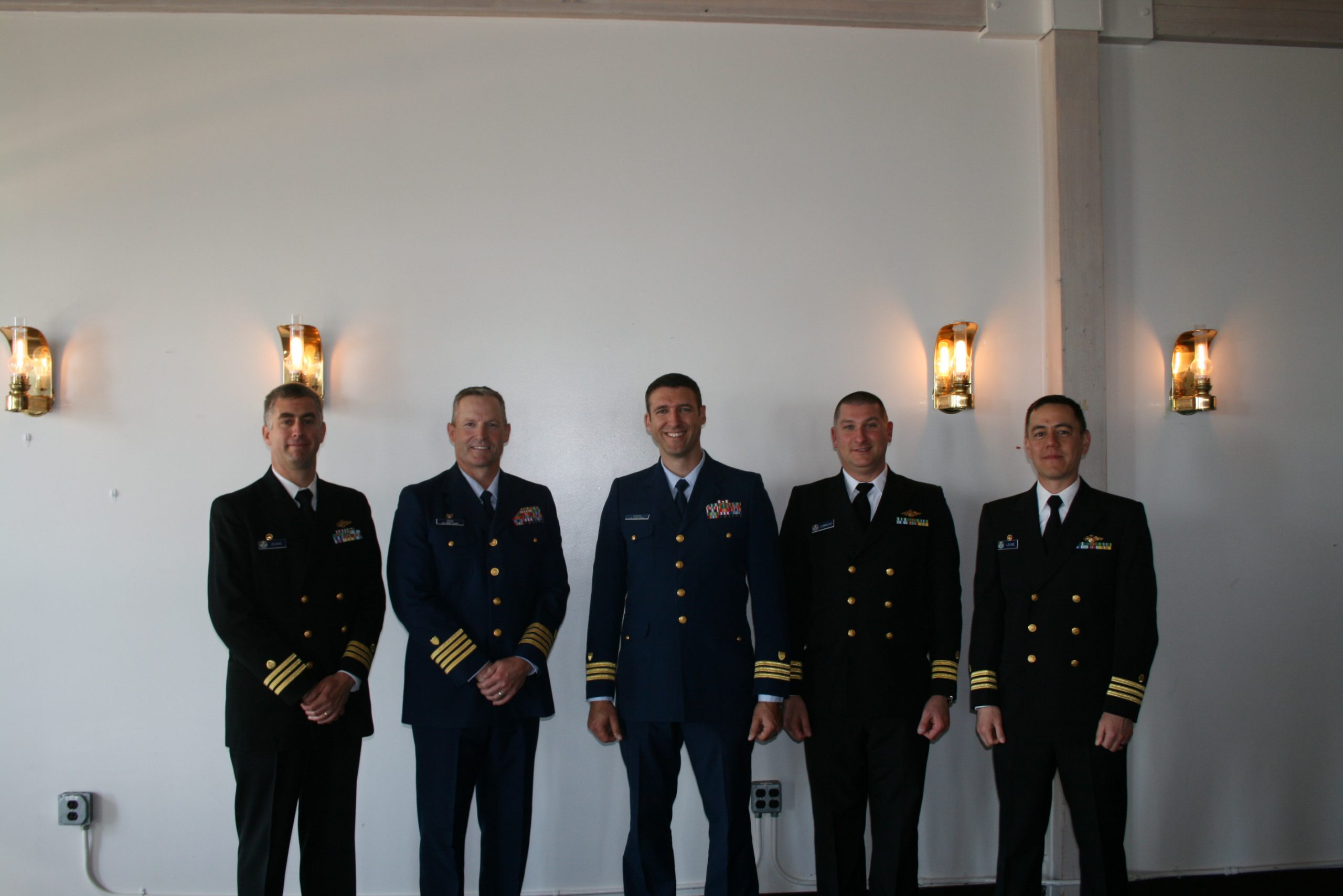
Meet Erin Diurba, a NOAA navigation response team member homeported in Galveston, Texas. Her self-described “survey wanderlust” has taken her across the globe to gain hydrographic surveying expertise on diverse teams and in unique environments. She tells her story here in this story map. Continue reading “Surveyor Spotlight: NOAA navigation response team member, Erin Diurba”
Surveyor Spotlight: NOAA navigation response team member, Erin Diurba