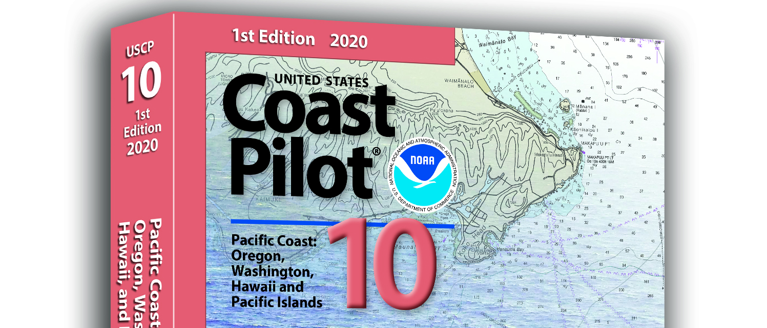
What is currently known as United States Coast Pilot® 7 was first published in 1903. The official published name was United States Coast Pilot—Pacific Coast California, Oregon and Washington. Content and information was inclusive of those three states. After Hawaii became a state in 1959, information on the Hawaiian Islands—including the long string of islands and atolls out to Midway Island—was incorporated into the newly titled United States Coast Pilot 7—Pacific Coast California, Oregon, Washington and Hawaii. In 1988, information originally maintained by the National Geospatial-Intelligence Agency under Publication 126 on the remote Pacific Islands (American Samoa, Guam and the Marianas) was added as a new chapter.
Continue reading “United States Coast Pilot® covering the Pacific now in two volumes”Coast Survey Spotlight: Meet Glen Rice
Ever wonder what it’s like to be a member of the NOAA Coast Survey team? We use the Coast Survey spotlight blog series as a way to periodically share the experiences of Coast Survey employees as they discuss their work, background, and advice.
Continue reading “Coast Survey Spotlight: Meet Glen Rice”“Coast Survey serves the public important information that has a real impact both to national commerce and to the individual.”
High-definition charts advance precision marine navigation
By Craig Winn, HD charting portfolio manager
For large vessels entering port where there is next to zero margin for error, pilots and shipmasters are looking for the highest resolution data available to help them navigate these tight spaces safely and efficiently. NOAA’s Office of Coast Survey recently constructed and released 16 high-definition (HD), band 6 (or berthing scale) electronic navigational charts for Los Angeles/Long Beach Harbor, providing mariners with the best charts available to do their job.
Continue reading “High-definition charts advance precision marine navigation”A message to hydrographers: Your time is now
By Rear Adm. Shep Smith, Director of NOAA’s Office of Coast Survey
There has never been a better time to be a hydrographer. Our skills, data, and technology are in high demand globally, driven by an increased emphasis both on supporting the blue economy and of protecting the ocean upon which all life on earth depends. The UN declared this decade the “Decade of Ocean Science for Sustainable Development,” and that vision specifically calls out the need to map the world’s oceans. The Nippon Foundation has breathed new energy into the century-long project to create a General Bathymetric Chart of the Oceans (GEBCO) with a supporting campaign called Seabed 2030. Hydrography is now invaluable for habitat mapping, for mineral and energy exploration, for offshore wind development, and for ocean modeling supporting everything from predicting local harmful algal blooms to understanding the earth system itself at a global scale.
Continue reading “A message to hydrographers: Your time is now”NOAA joins federal and state partners in signing MOU on emergency maritime response in Hawaii
NOAA’s Office of Coast Survey, United States Coast Guard (USCG) Sector Honolulu, State of Hawaii Department of Transportation and United States Army Corps of Engineers (USACE) Honolulu Division established a memorandum of understanding (MOU) outlining each signatory’s area of responsibility in the event of a disaster in the Hawaii region. The intent of the MOU is to improve the efficiency and effectiveness of response efforts and speed the reopening of the ports and waterways following an emergency.
Continue reading “NOAA joins federal and state partners in signing MOU on emergency maritime response in Hawaii”Explore the refreshed ENC-based NOAA Custom Chart Tool
Recently, NOAA released an improved user interface for the NOAA Custom Chart (NCC) prototype web application, a tool that allows users to create their own charts from the latest NOAA electronic navigational chart (NOAA ENC®) data. In this refreshed version, NCC settings are simplified and more logically organized, appropriate default values for depth contour labels, depth shades, and compass roses are set, and the NOAA color palette from traditional NOAA paper charts is implemented.
Continue reading “Explore the refreshed ENC-based NOAA Custom Chart Tool”Coast Survey Spotlight: Meet Martha Herzog
Ever wonder what it’s like to be a member of the NOAA Coast Survey team? We use the Coast Survey spotlight blog series as a way to periodically share the experiences of Coast Survey employees as they discuss their work, background, and advice.
Martha Herzog, Physical Scientist
Continue reading “Coast Survey Spotlight: Meet Martha Herzog”“…collecting the most accurate and up-to-date seafloor data to create nautical charting products is essential for ensuring public safety, commerce, and preventing human and environmental catastrophes.”
Capturing scenes from hydrographic surveying
There are many benefits to working on a hydrographic survey project for NOAA’s Office of Coast Survey. Some would say having the opportunity to visit amazing landscapes, work with talented people, and collect important environmental data are just a few of them. Recently, Coast Survey’s Hydrographic Surveys Division hosted an internal photo contest inviting employees and contractors to submit images in the categories of Ships and Boats, Landscapes, People, and Data. On this Earth Day 2020, we thought we would share our contest winners with you.
Continue reading “Capturing scenes from hydrographic surveying”NOAA supports arrival of USNS Comfort to New York City
For more than 200 years, nautical cartographers have methodically charted our nation’s coastline, adding new features or hazards and updating meandering shorelines, all in an effort to aid safe navigation. However, occasions do arise that require immediate charting, particularly in response to national emergencies. Notable examples include charting the projected oil spill zone during the Deepwater Horizon oil spill disaster, as well as hazards during hurricane response efforts. Most recently, NOAA’s Office of Coast Survey was called upon to support the arrival of USNS Comfort to New York City.
Continue reading “NOAA supports arrival of USNS Comfort to New York City”NOAA certifies San Francisco Bay shipping channel with top survey rating, increasing confidence for deep draft vessel navigation
There is a risk factor when navigating in and out of our nation’s busiest ports, particularly at the helm of some of the world’s largest deep draft vessels. Mariners rely on tide and water level information, wind and weather data, but perhaps most importantly, they rely on electronic navigational charts and the quality of depth measurements that comprise them. Recently, NOAA’s Office of Coast Survey certified the U.S. Army Corps of Engineers (USACE) hydrographic surveys for the Pinole Shoal Channel in San Francisco Bay — a critical waterway for bulk carriers and tankers to reach the ports of Sacramento, Stockton, Martinez, and Benicia — the highest possible data quality rating, Category Zone of Confidence (CATZOC) A1, for two years. This is the first USACE federally-maintained channel to receive the highest-level certification. NOAA anticipates the increased CATZOC rating will dramatically increase shipping efficiency.
Continue reading “NOAA certifies San Francisco Bay shipping channel with top survey rating, increasing confidence for deep draft vessel navigation”