Coast Survey spotlight: Meet Tim Wilkinson

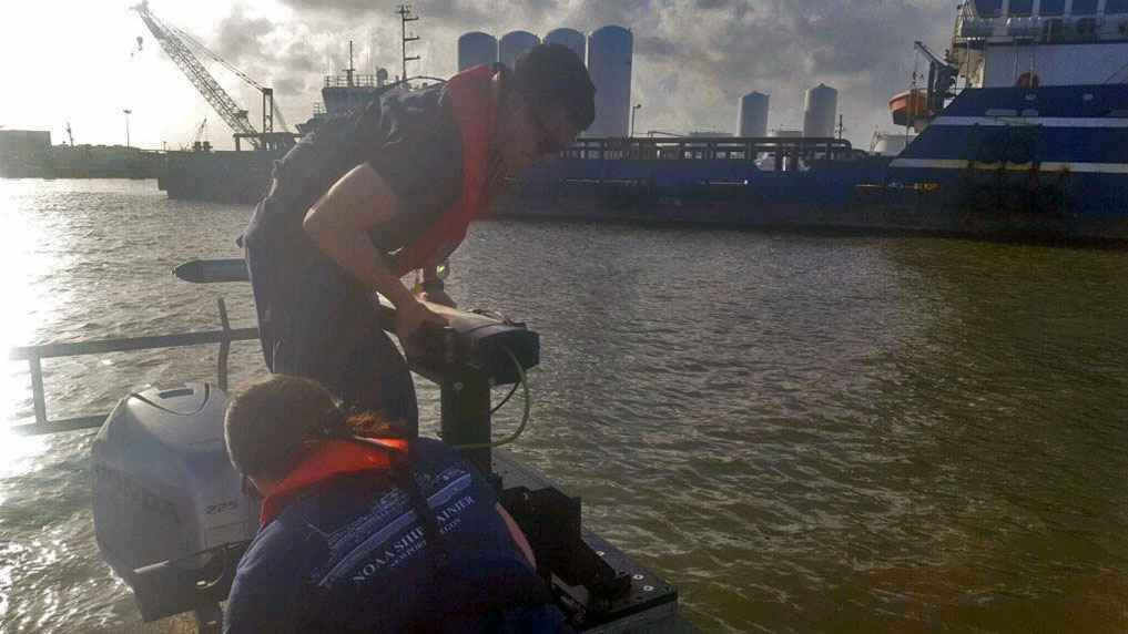
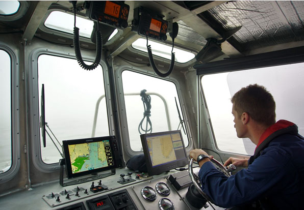
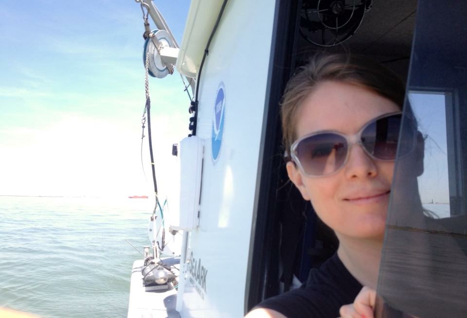
As a navigation response team member, Tim conducts hydrographic surveys on one of several small survey vessels to help make our coastlines safer for navigation. His normal area of operation is Washington and Oregon but will be called to assist with emergency response all across the country.

Ever wonder what it’s like to be a member of the NOAA Coast Survey team? We use the Coast Survey spotlight blog series as a way to periodically share the experiences of Coast Survey employees as they discuss their work, background, and advice.


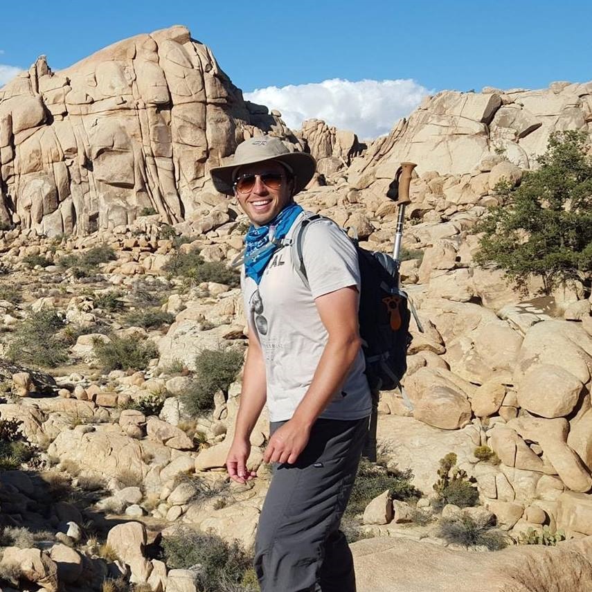
Tim Wilkinson, navigation response team member

“Our nation’s waterways are constantly changing and the technology we’re using to chart them is becoming increasingly more accurate. My position and my counterparts on the other teams are integral to developing accurate charts to ensure safer navigation. We also act as emergency responders to situations such as hurricanes and ship groundings.”

Continue reading “Coast Survey spotlight: Meet Tim Wilkinson”

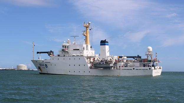
NOAA Ship Thomas Jefferson tests drone use for shoreline mapping

By, Lt. j.g. Matt Sharr, NOAA, and Lt. Charles Wisotzkey, NOAA

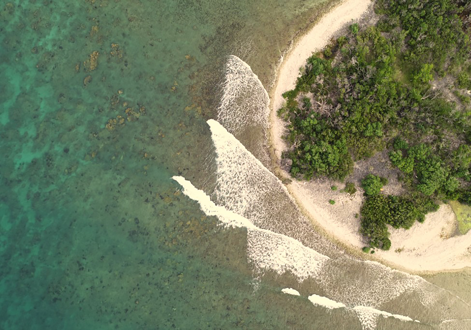
NOAA’s Office of Coast Survey and the National Geodetic Survey (NGS) recently conducted operational tests of small unmanned aerial systems — or drones — on board NOAA Ship Thomas Jefferson in support of survey operations conducted along the south coast of Puerto Rico. The tests show the potential of imagery from low-cost off-the-shelf drones to meet NOAA survey specifications for near-shore and shoreline feature mapping. This could replace traditional shoreline verification and mapping techniques used by NOAA hydrographic survey field units. Potential benefits of using drones for shoreline mapping include: improved data collection efficiency compared to data collection from small skiffs; more accurate feature investigation than traditional techniques; and, most importantly, removal of personnel from potentially dangerous situations (i.e. survey in close proximity to features being mapped). Continue reading “NOAA Ship Thomas Jefferson tests drone use for shoreline mapping”

NOAA Ship Thomas Jefferson presents survey work to Puerto Rico South Coast stakeholders

By Cmdr. Chris van Westendorp, Commanding Officer of NOAA Ship Thomas Jefferson

Almost one year following the passage and destruction of Hurricane Maria, NOAA Ship Thomas Jefferson has returned to Puerto Rico. Following the storm, Thomas Jefferson deployed in September 2017 for hydrographic hurricane response work in Puerto Rico and the U.S. Virgin Islands (PR/USVI). The ship and crew surveyed 18 individual port facilities to ensure safety of navigation and help re-open the region for maritime commerce. Thomas Jefferson’s second major project of 2018 has brought the ship back to Puerto Rico from August to November, conducting follow-up survey work along the north and south coasts. Continue reading “NOAA Ship Thomas Jefferson presents survey work to Puerto Rico South Coast stakeholders”

Coast Survey prepares to serve nation during 2018 hurricane season

“But, sir, what does the country want in the coast survey? They want a very useful work done, a very important work done, and they want it done in the best manner.” U.S. Senator John Davis (MA), 1849, explaining the importance of the coast survey to safety and the U.S. economy during the 30th Congress, 2nd Session
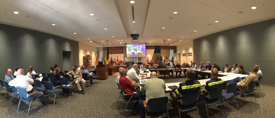
As the nation’s nautical chartmaker, NOAA Coast Survey provides critical emergency response information to coastal communities and waterways. Each year, Coast Survey prepares for hurricane season in order to perform the work in—as the late Senator Davis put it—“the best manner.” Last year’s string of powerful hurricanes underscored the importance of coordinated efforts for storm preparation, response, and recovery. With the official start of the 2018 hurricane season just around the corner, Coast Survey’s regional navigation managers spent the large part of April and May meeting with U.S. Coast Guard (USCG), port authorities, NOAA National Weather Service, and communities to prepare emergency response capabilities. Continue reading “Coast Survey prepares to serve nation during 2018 hurricane season”

NOAA navigation response team investigates hazardous shoal off Rockaway Point, NY

Recently, NOAA navigation response team 5 (NRT5), responded to a survey request from U.S. Coast Guard (USCG) Sector New York following several groundings near Rockaway Point in Queens, New York. Waves and currents often influence the size and shape of nearshore sandbars, and the USCG was concerned that a sandbar may have expanded beyond the area depicted on the nautical chart. Lt. j.g. Dylan Kosten, Eli Smith, and Michael Bloom traveled from New London, Connecticut, to Jersey City, New Jersey, to launch their vessel and start the survey of the area.
Continue reading “NOAA navigation response team investigates hazardous shoal off Rockaway Point, NY”

NOAA navigation response team locates sunken vessel before nor’easter strikes

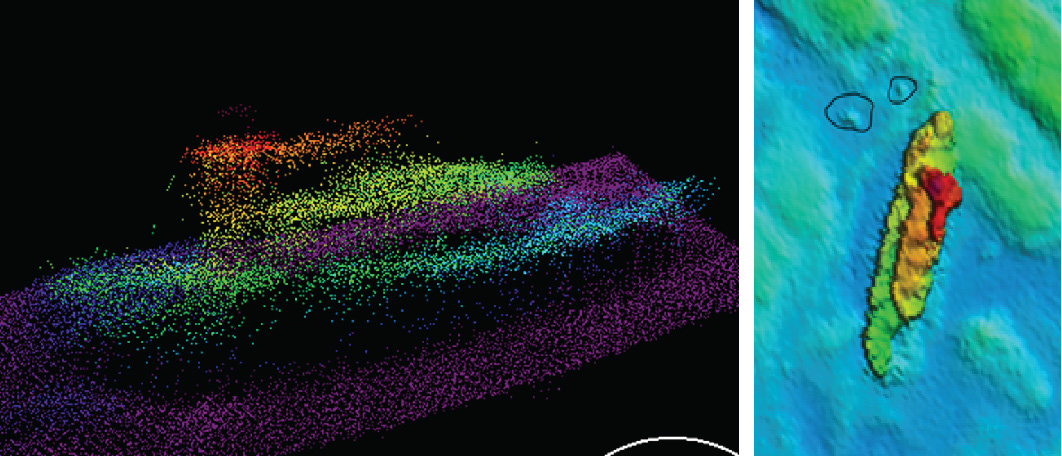
Multibeam Imagery of the vessel

On March 12, 2018, NOAA Coast Survey’s navigation response team 5 (NRT5) located the T/V Captain Mackintire, an 80-foot towing vessel that sank off the coast of Kennebunkport, Maine. The U.S. Coast Guard requested assistance finding the vessel, citing concerns of environmental hazards due to an unknown amount of fuel remaining onboard.
Continue reading “NOAA navigation response team locates sunken vessel before nor’easter strikes”

Surveyor Spotlight: NOAA navigation response team member, Erin Diurba

Erin Diurba, hydrographic surveyor on NOAA navigation response team 4, homeported in Galveston, Texas.

Have you ever wondered what it is like to work on a NOAA navigation response team (NRT) or what makes our team members experts in their field?
The Office of Coast Survey deploys NRTs across the country to conduct emergency hydrographic surveys requested by the U.S. Coast Guard, port officials, and other first responders in the wake of accidents and natural events that create navigation hazards. In their day‐to‐day, non‐emergency role, the NRTs work in the nation’s busiest ports, surveying for dangers to navigation and updating nautical chart products.
Meet Erin Diurba, a NOAA navigation response team member homeported in Galveston, Texas. Her self-described “survey wanderlust” has taken her across the globe to gain hydrographic surveying expertise on diverse teams and in unique environments. She tells her story here in this story map. Continue reading “Surveyor Spotlight: NOAA navigation response team member, Erin Diurba”

NOAA Office of Coast Survey wraps up a busy 2017 hurricane season

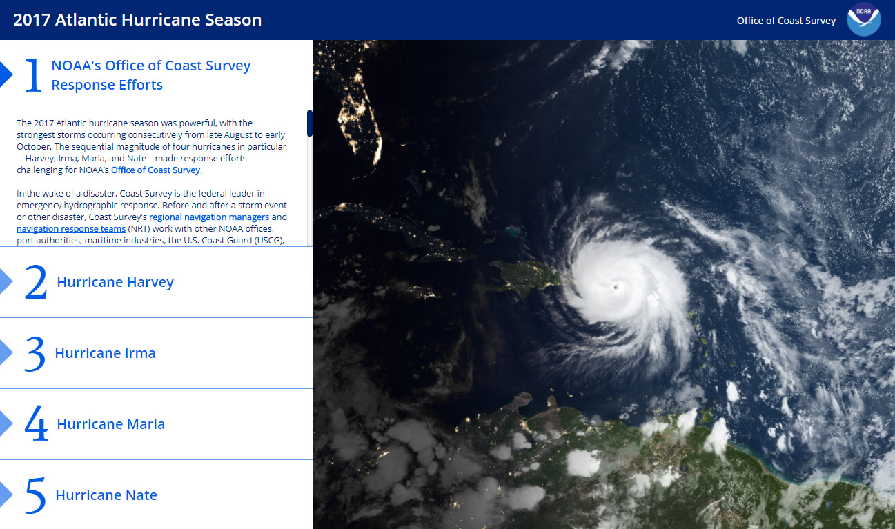
The 2017 Atlantic hurricane season was powerful, with the strongest storms occurring consecutively from late August to early October. The sequential magnitude of four hurricanes in particular—Harvey, Irma, Maria, and Nate—made response efforts challenging for NOAA’s Office of Coast Survey. Coast Survey summarized this season’s response efforts along with the efforts of NOAA Ship Thomas Jefferson (operated by NOAA’s Office of Marine and Aviation Operations) in the following story map. Continue reading “NOAA Office of Coast Survey wraps up a busy 2017 hurricane season”

NOAA travels to Puerto Rico to help ports recover from Hurricane Maria

NOAA loads the MIST kit and crew on board the USCG C-130 aircraft at Naval Air Station Jacksonville.

Hurricane Maria struck the U.S. Virgin Islands (USVI) and Puerto Rico on Wednesday, September 21, as a strong Category 4 hurricane. The storm brought sustained winds of 150 mph and dropped over 18 inches of rain in some areas. Although these islands have seen their fair share of hurricanes and tropical storms, the last storm of this intensity to hit Puerto Rico was the San Felipe Segundo hurricane in 1928. The widespread flooding, winds, and storm surge from Hurricane Maria devastated the islands leaving them without power and their critical ports paralyzed as debris, shoaling, and damaged infrastructure prevents large vessels from entering safely.
Continue reading “NOAA travels to Puerto Rico to help ports recover from Hurricane Maria”

NOAA helps ports recover in Georgia and Florida following Hurricane Irma

View of the first fuel ship entering the Port of Tampa after Hurricane Irma, as it passes NRT 5.

Just as Hurricane Harvey response was wrapping up for some of NOAA Coast Survey’s navigation response teams (NRT), personnel and survey assets were positioned in preparation for the aftermath of Hurricane Irma.   
For the NRTs, this meant traveling hundreds of miles with a survey vessel in tow, facing challenges such as locating fueling stations, finding available lodging, and finding opportunities to rest. For the mobile integrated survey team (MIST), which is available to travel anywhere in the U.S. when hydrographic survey assistance is needed by the U.S. Coast Guard (USCG) or U.S. Army Corps of Engineers (USACE), this meant finding transportation to a disaster area and a  “vessel of opportunity” to survey from once there. Continue reading “NOAA helps ports recover in Georgia and Florida following Hurricane Irma”