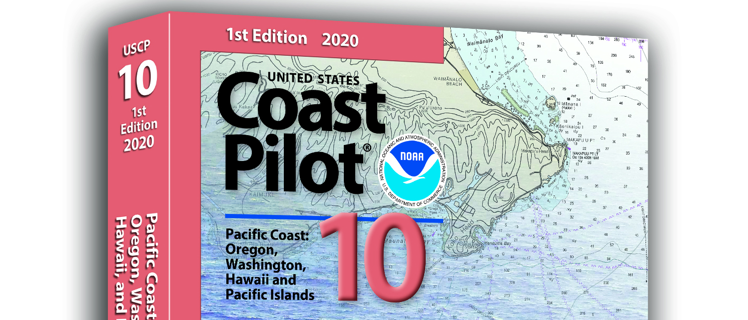
What is currently known as United States Coast Pilot® 7 was first published in 1903. The official published name was United States Coast Pilot—Pacific Coast California, Oregon and Washington. Content and information was inclusive of those three states. After Hawaii became a state in 1959, information on the Hawaiian Islands—including the long string of islands and atolls out to Midway Island—was incorporated into the newly titled United States Coast Pilot 7—Pacific Coast California, Oregon, Washington and Hawaii. In 1988, information originally maintained by the National Geospatial-Intelligence Agency under Publication 126 on the remote Pacific Islands (American Samoa, Guam and the Marianas) was added as a new chapter.
Continue reading “United States Coast Pilot® covering the Pacific now in two volumes”NOAA seeks industry feedback as it begins testing the Precision Navigation Data Dissemination prototype
By Julia Powell, Precision Navigation Program Manager, Chief of the Navigation Services Division
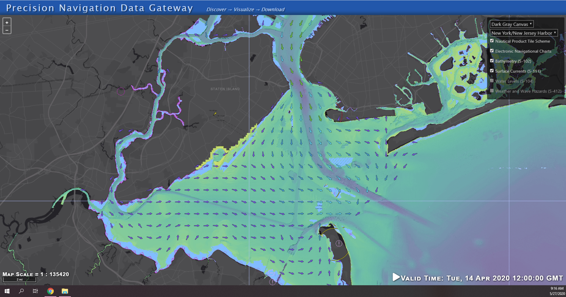
NOAA’s Precision Navigation program is building a prototype data gateway for users to discover, visualize, and disseminate NOAA marine navigation products and services. The backbone of this dissemination system is to provide for machine-to-machine dissemination that allows the mariners’ existing navigation software to automatically discover if NOAA has made new data available and ingest it directly into the system. NOAA’s integrated marine navigation services through this site will help ship operators optimize their routes, save fuel, reduce lightering and reduce port wait times based on environmental conditions.
Continue reading “NOAA seeks industry feedback as it begins testing the Precision Navigation Data Dissemination prototype”The Great Lakes are getting a digital upgrade
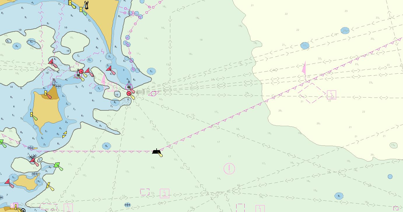
NOAA’s Office of Coast Survey collaborated with U.S. and Canadian mariners, the Lake Carriers’ Association (LCA), and the Canadian Chamber of Marine Commerce (CMC) to update the Recommend Courses in Lake Erie and transfer them from paper charts to NOAA electronic navigational charts (NOAA ENC®). This bi-national effort involved compiling and updating information for Lake Erie’s 75 routes which span both U.S. and Canadian waters. These routes cover 20 NOAA and five Canadian ENCs.
Continue reading “The Great Lakes are getting a digital upgrade”The Future of Seabed 2030: From Vision to Action
As 2019 comes to a close, we reflect not only on our accomplishments throughout the year, but also the exciting challenges that lie ahead, particularly in the field of hydrography. In late October 2019, Rear Adm. Shep Smith, director of NOAA’s Office of Coast Survey and chair of the International Hydrographic Organization Council, delivered the keynote address at the Seabed 2030 Summit at the Royal Society in London, encouraging participation in the grand global challenge to map the world’s seafloor by the year 2030. The following is a video and transcript of this presentation.
Continue reading “The Future of Seabed 2030: From Vision to Action”Coast Survey Spotlight: Meet Rick Powell
Ever wonder what it’s like to be a member of the NOAA Coast Survey team? We use the Coast Survey spotlight blog series as a way to periodically share the experiences of Coast Survey employees as they discuss their work, background, and advice.
Rick Powell, cartographer
Continue reading “Coast Survey Spotlight: Meet Rick Powell”“The Coast Pilot is a supplement to the chart, and eventually the electronic navigational chart… This helps ensure that our knowledge of the subject is transferred to the navigator/mariners with little effort.”
One year later – Coast Survey’s response to the Anchorage earthquake
By Lt. Cmdr. Bart Buesseler
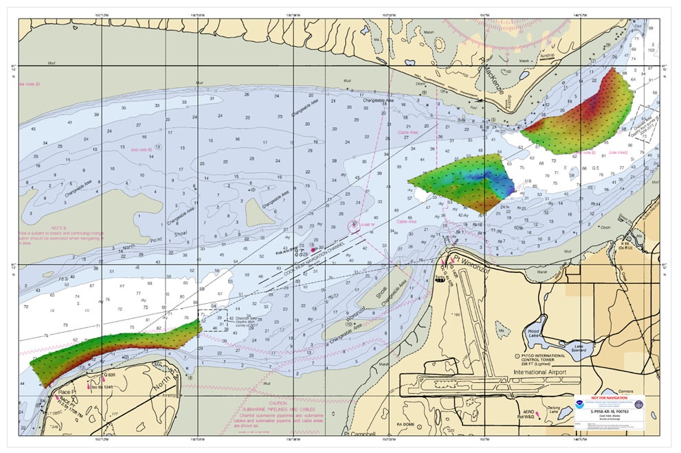
At 8:29, on the morning of Friday, November 30, 2018, a magnitude 7.1 earthquake shook Anchorage, Alaska, for thirty stressful seconds. It was the largest earthquake in Anchorage since the Good Friday Quake of 1964, and brought Alaska’s most populated city to a standstill as residents evacuated buildings and came to terms with what they had just experienced.
Continue reading “One year later – Coast Survey’s response to the Anchorage earthquake”NOAA Ship Rainier returns to survey the Hawaiian coast, provides update on lava flow development
By Ens. Harper Umfress
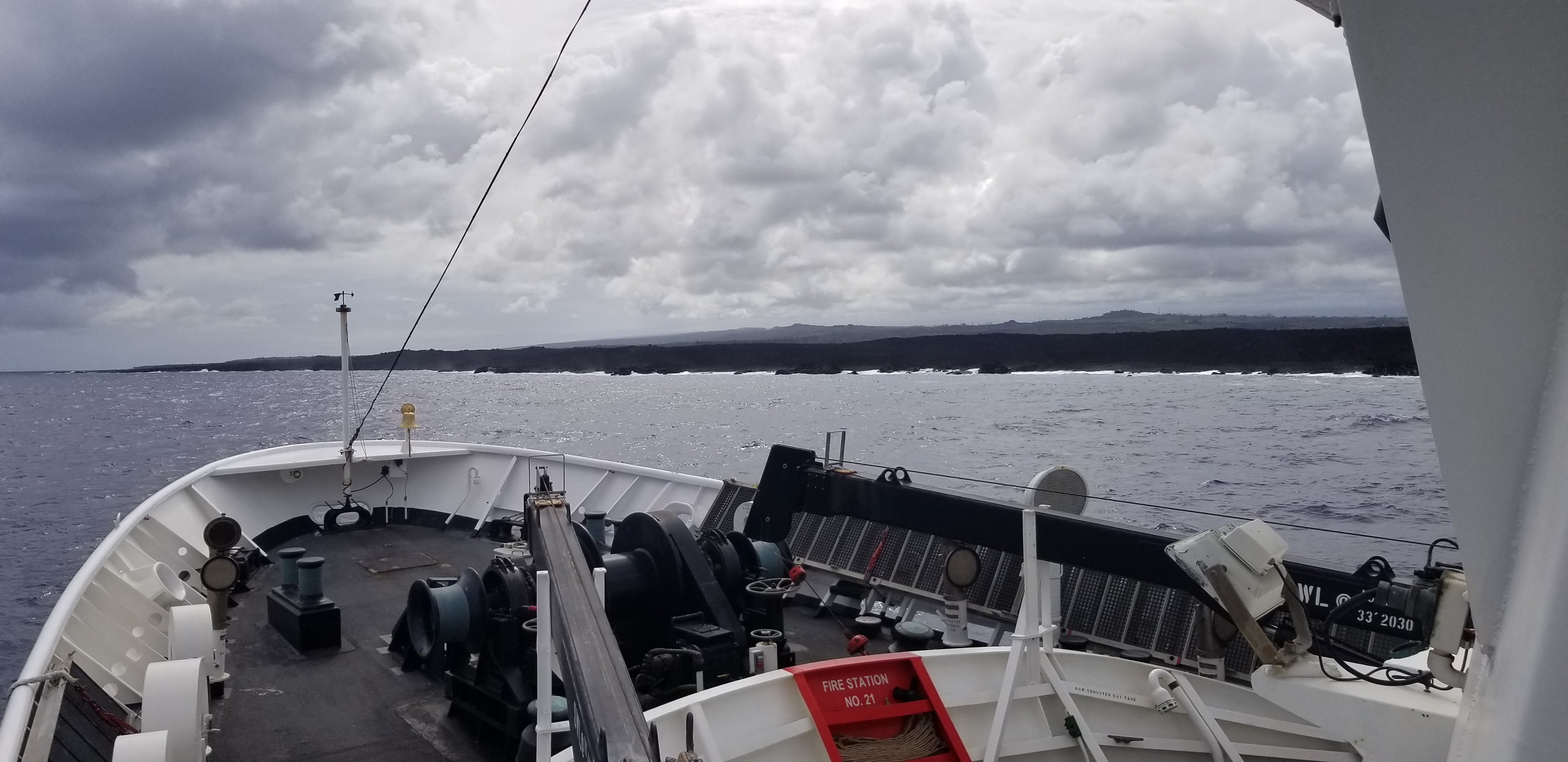
NOAA Ship Rainier’s four-decade tropical sonar silence is over and Hawaiian hydrography is back! The 2019 field season was productive, challenging, and geographically diverse. After starting the season with traditional hydrographic surveys in Alaska, Rainier was re-tasked to support science diving operations in the Papahānaumokuākea Marine National Monument that surrounds the Northwestern Hawaiian Islands. Though the primary purpose of this dispatch was to support coral reef research, the world’s most productive coastal hydrographic survey platform would have been remiss to forego this opportunity to ping new waters.
Continue reading “NOAA Ship Rainier returns to survey the Hawaiian coast, provides update on lava flow development”NOAA seeks public comment on ending production of traditional paper nautical charts
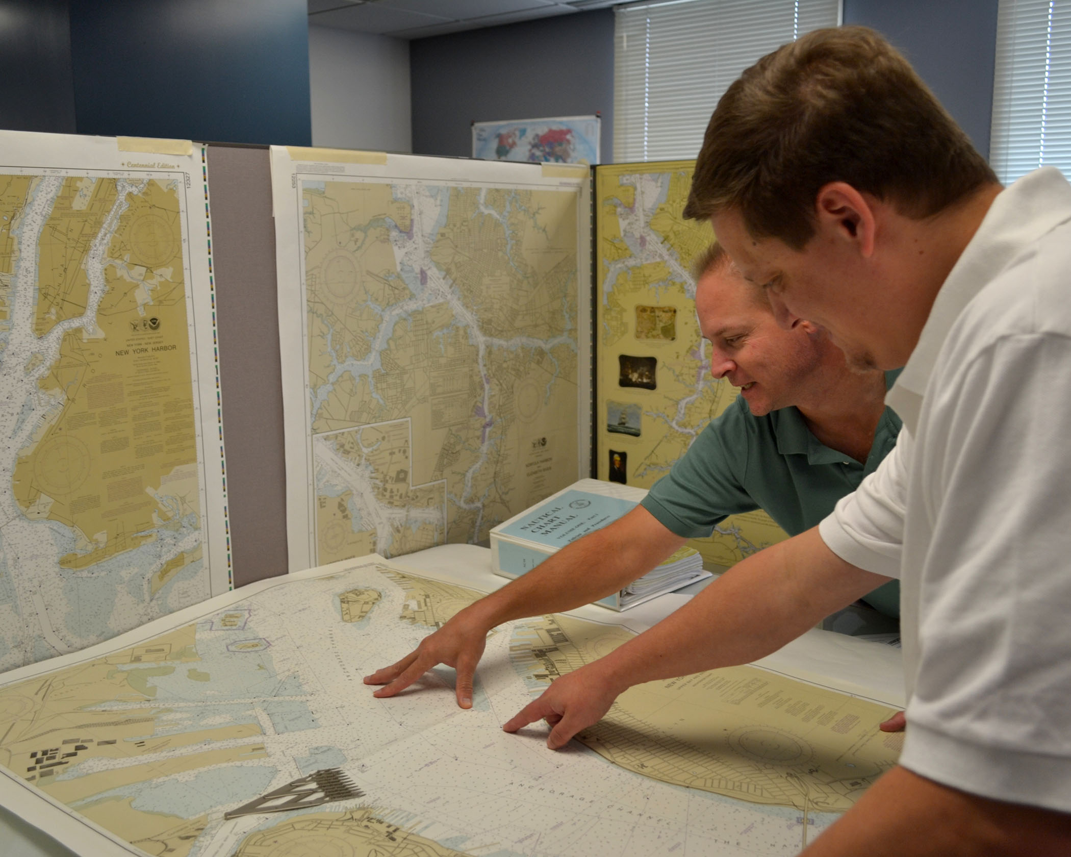
NOAA is initiating a five-year process to end all traditional paper nautical chart production and is seeking the public’s feedback via a Federal Register Notice published on November 15, 2019. Chart users, companies that provide products and services based on NOAA raster and electronic navigational chart (NOAA ENC®) products, and other stakeholders can help shape the manner and timing in which the product sunsetting process will proceed. Comments may be submitted through NOAA’s online ASSIST feedback tool.
Continue reading “NOAA seeks public comment on ending production of traditional paper nautical charts”NOAA searches for dangers to navigation following Hurricane Dorian
Storms, particularly hurricanes, can be unpredictable. Therefore, NOAA’s hydrographic survey response teams that aid in the reopening of ports following storms, are designed to be flexible, proactive, and are on call 24/7 should the need arise to identify dangers to navigation.
Continue reading “NOAA searches for dangers to navigation following Hurricane Dorian”NOAA hosts 2019 Nautical Cartography Open House and Chart Adequacy Workshop
Last week, NOAA’s Office of Coast Survey held its third annual Nautical Cartography Open House welcoming over 250 attendees from the U.S. and abroad. Government agencies, industry and academic partners, and members of the public attended. The open house featured posters, presentations, tours, and exhibits centered around four themes: Bathymetric Databases, Custom Charting, Innovative Cartography, and Precision Navigation. Dr. Shachak Pe’eri, organizer of the event and chief of the Cartographic Support Branch in the Marine Chart Division, welcomed attendees in the morning and John Nyberg, chief of the Marine Chart Division, gave the keynote speech.
Continue reading “NOAA hosts 2019 Nautical Cartography Open House and Chart Adequacy Workshop”
