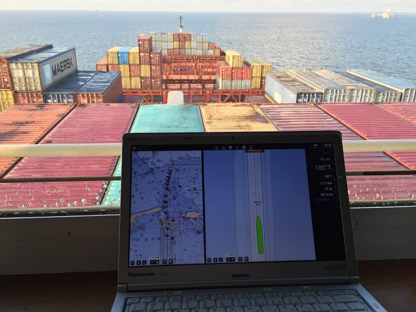
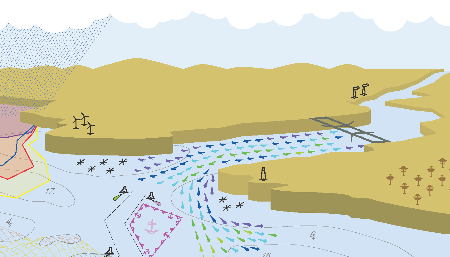
NOAA’s Precision Marine Navigation (PMN) program aims to seamlessly integrate high-resolution bathymetry and high accuracy positioning and shoreline data with the forecast data of water levels, currents, waves, and weather forecasts. This information can be easily accessed and integrated into maritime electronic charting systems and other decision support tools so mariners can plan their transits and make decisions while at sea and coming to and from port. A key component of this program is providing vessel pilots with detailed depth information to ensure safety of vessel transits and that critical under keel clearance safety margins are maintained. Electronic navigational charts, although accurate, typically do not provide the detail that pilots prefer.
Continue reading “Vessel pilots transition to new chart format”NOAA releases new visualization resources: Precision Navigation Data Gateway and Data Dashboard
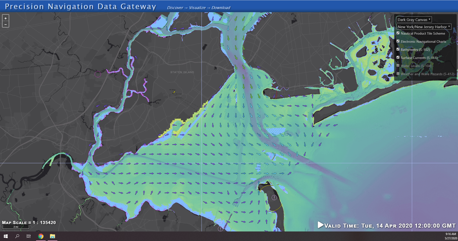
NOAA’s Precision Marine Navigation (PMN) program released two new visualization resources. The first is a beta version Precision Marine Navigation Data Gateway map viewer allowing users to explore NOAA’s S-100 data services. Currently, the Data Gateway presents prototype surface current forecast guidance, but new layers will be added as they are developed. NOAA welcomes feedback on the beta version of the Data Gateway. Please submit all comments to marinenav.team@noaa.gov by March 1, 2021.
Continue reading “NOAA releases new visualization resources: Precision Navigation Data Gateway and Data Dashboard”NOAA releases prototype surface current forecast data for industry testing
Prototype data for surface current forecasts in the International Hydrographic Organization (IHO) S-111 format is now available for testing through the NOAA Big Data Program. In June, NOAA announced that we were preparing surface current forecast data for dissemination trials. Now that these data are available, industry can integrate these prototype data into different types of navigation software systems such as portable pilot units and under keel clearance systems. By making these data more accessible, more machine-to-machine readable, and more integrated, NOAA aims to amplify the power of our navigation data for users across the maritime industry.
Continue reading “NOAA releases prototype surface current forecast data for industry testing”Precision marine navigation surface current dissemination trials
By: Erin Nagel, University Corporation for Atmospheric Research (UCAR) Visiting Scientist
NOAA is preparing to release a prototype of the new Precision Navigation Data Dissemination System in July, and the S-111 surface current forecast guidance will be the first prototype service available in this new system.
Continue reading “Precision marine navigation surface current dissemination trials”NOAA seeks industry feedback as it begins testing the Precision Navigation Data Dissemination prototype
By Julia Powell, Precision Navigation Program Manager, Chief of the Navigation Services Division
NOAA’s Precision Navigation program is building a prototype data gateway for users to discover, visualize, and disseminate NOAA marine navigation products and services. The backbone of this dissemination system is to provide for machine-to-machine dissemination that allows the mariners’ existing navigation software to automatically discover if NOAA has made new data available and ingest it directly into the system. NOAA’s integrated marine navigation services through this site will help ship operators optimize their routes, save fuel, reduce lightering and reduce port wait times based on environmental conditions.
Continue reading “NOAA seeks industry feedback as it begins testing the Precision Navigation Data Dissemination prototype”Developing products for “precision navigation”
Ports of Los Angeles and Long Beach are first up
by Capt. Richard Brennan, chief, Coast Survey Development Lab
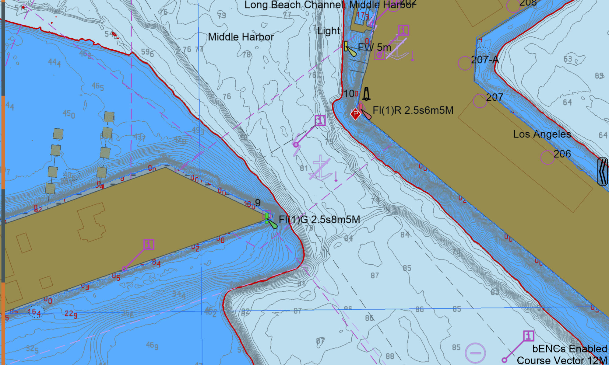
The increased size of vessels entering U. S. ports, coupled with the diminishing margins that must be navigated with reference to the seafloor, provides NOAA with the opportunity to develop new products to support precision navigation. The ports of Los Angeles and Long Beach are testing grounds for current product development, since developing products for these ports will allow us to examine the value of precision navigation products under actual at-sea conditions. The channel leading to the Port of Long Beach has an authorized depth of 76 feet, allowing drafts of 69 feet. A major concern for this port is high sea swell conditions that can be present when ultra large crude carriers enter port. These large swells can cause vessels to pitch, which results in a significant change in their draft.
Continue reading “Developing products for “precision navigation””


