 An
official website of the United States government.
Here's how you know we're official.
An
official website of the United States government.
Here's how you know we're official.
An
official website of the United States government.
Here's how you know we're official.
An
official website of the United States government.
Here's how you know we're official.
Coast Survey International Program
Office of Coast Survey products and services have an inherently international dimension. Beginning with an Act signed in 1807 by President Thomas Jefferson, Coast Survey became the nation's chartmaker in 1832. More than 200 years later, the U.S. depends upon maritime trade and economic activity associated with the use of coastal waters and resources. This trade supports the 1.3 billion metric tons of cargo valued at $1.8 trillion coming in and out of U.S. ports every year.
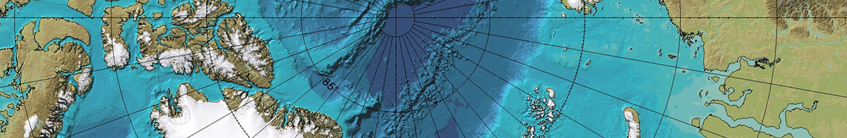
The International Hydrographic Organization is an intergovernmental consultative and technical organization established in 1921 to support safe and environmentally-sound navigation through the provision of accurate and timely hydrographic information. The director of Coast Survey is the U.S. national hydrographer and a principal U.S. representative to the IHO. The IHO functions through a series of regional coordination committees and technical working groups to support nations in collectively joining together to chart the world's oceans and protect the marine environment.
While IHO related activities are a principal focus of Coast Survey's International Program, the program's goals are accomplished through a range of international participation, including:
As the global hydrographic and maritime communities work to meet the challenges of the decade, a new era of digital navigation and modern hydrography will take shape around the world. Coast Survey seeks to retain a leading role in advancing new global technology in the marine domain, which includes contributing to global efforts such as Seabed 2030, UN Decade of Ocean Science, UN-GGIM, and World Hydrography Day. Hydrography can be the basis for addressing practical mitigation measures to the climate change crisis and contribute to relevant climate areas, such as surface currents, precision navigation for shipping efficiency, coastal modeling and storm surge modeling, sea level rise, and datum establishment.