NOAA detects navigation hazards following Hurricane Michael

sunken vessel with navigation response team vessel in foreground

After quickly gaining the strength of a Category 4 storm, Hurricane Michael reached the panhandle of Florida on Wednesday, October 10. With maximum sustained winds of 155 mph and storm surge reaching 15 feet, this storm wiped out coastal communities and closed ports to all traffic in the area. Dangerous winds and storm surge can shift sands and pull large objects beneath the waves, creating hazards to navigation. Before ports can reopen and safely resume vessel traffic, the U.S. Coast Guard must be aware of any underwater dangers so they can either be properly charted or removed. Continue reading “NOAA detects navigation hazards following Hurricane Michael”

NOAA Ship Thomas Jefferson presents survey work to Puerto Rico South Coast stakeholders

By Cmdr. Chris van Westendorp, Commanding Officer of NOAA Ship Thomas Jefferson

Almost one year following the passage and destruction of Hurricane Maria, NOAA Ship Thomas Jefferson has returned to Puerto Rico. Following the storm, Thomas Jefferson deployed in September 2017 for hydrographic hurricane response work in Puerto Rico and the U.S. Virgin Islands (PR/USVI). The ship and crew surveyed 18 individual port facilities to ensure safety of navigation and help re-open the region for maritime commerce. Thomas Jefferson’s second major project of 2018 has brought the ship back to Puerto Rico from August to November, conducting follow-up survey work along the north and south coasts. Continue reading “NOAA Ship Thomas Jefferson presents survey work to Puerto Rico South Coast stakeholders”

Coast Survey prepares to serve nation during 2018 hurricane season

“But, sir, what does the country want in the coast survey? They want a very useful work done, a very important work done, and they want it done in the best manner.” U.S. Senator John Davis (MA), 1849, explaining the importance of the coast survey to safety and the U.S. economy during the 30th Congress, 2nd Session
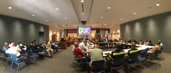
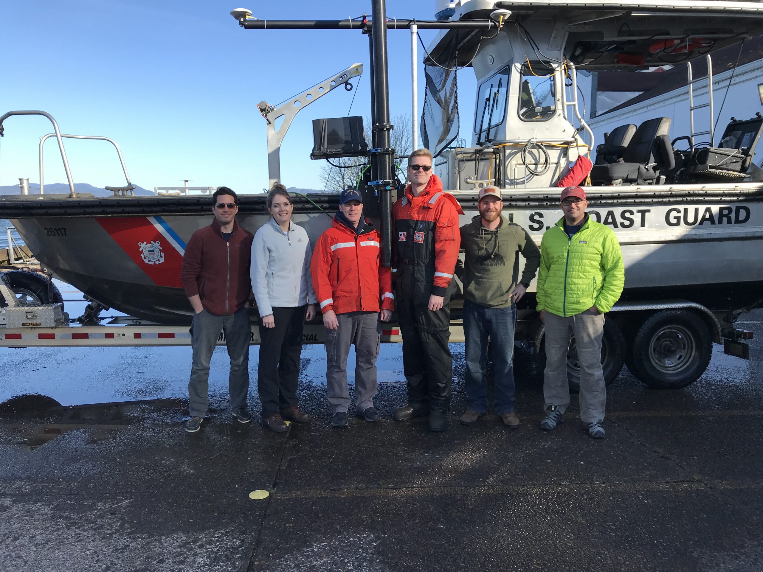
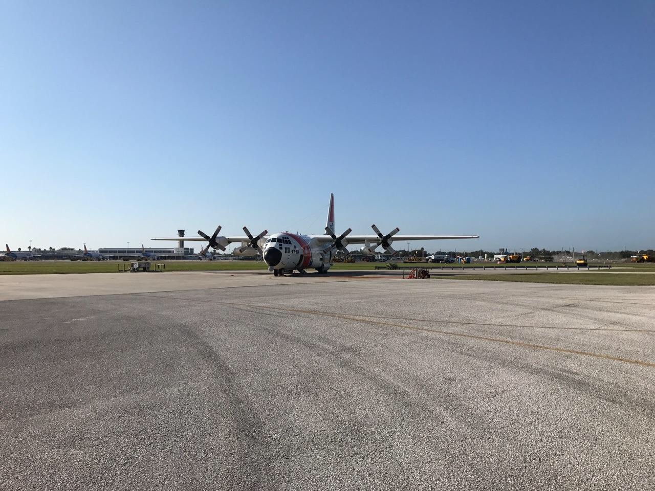
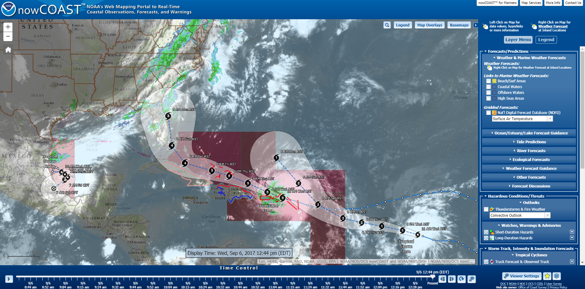
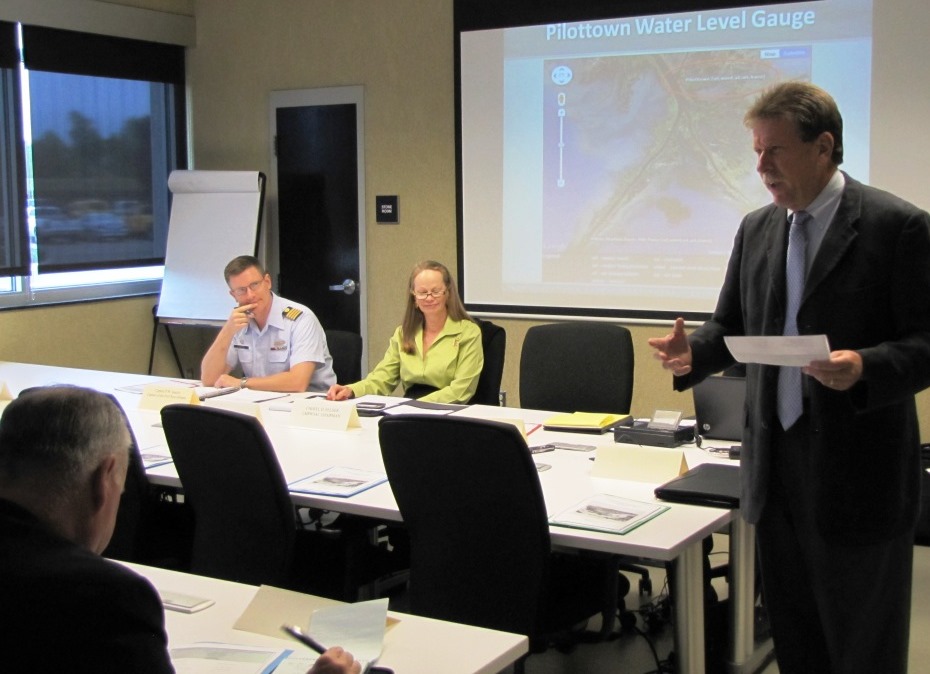
As the nation’s nautical chartmaker, NOAA Coast Survey provides critical emergency response information to coastal communities and waterways. Each year, Coast Survey prepares for hurricane season in order to perform the work in—as the late Senator Davis put it—“the best manner.” Last year’s string of powerful hurricanes underscored the importance of coordinated efforts for storm preparation, response, and recovery. With the official start of the 2018 hurricane season just around the corner, Coast Survey’s regional navigation managers spent the large part of April and May meeting with U.S. Coast Guard (USCG), port authorities, NOAA National Weather Service, and communities to prepare emergency response capabilities. Continue reading “Coast Survey prepares to serve nation during 2018 hurricane season”

NOAA mobile integrated survey team prepares for hurricane season

NOAA’s Office of Coast Survey is the federal leader in emergency hydrographic response. Consecutive strong storms during the 2017 hurricane season made response efforts challenging, and emphasized the importance of having a well-trained and versatile staff. Coast Survey’s regional navigation managers, navigation response teams (NRTs), and mobile integrated survey team (MIST) worked with partners before and after the storms to quickly and safely reopen ports and waterways.
The MIST equipment is a mobile, quick-install side scan and single beam sonar kit that can be quickly set up on a vessel of opportunity. Recently, Coast Survey sent the MIST team to Astoria, Oregon to conduct a hydrographic survey of the Mott Basin area, which the U.S. Coast Guard (USCG) requested to confirm charted depth and obstruction data. Continue reading “NOAA mobile integrated survey team prepares for hurricane season”

NOAA Office of Coast Survey wraps up a busy 2017 hurricane season

The 2017 Atlantic hurricane season was powerful, with the strongest storms occurring consecutively from late August to early October. The sequential magnitude of four hurricanes in particular—Harvey, Irma, Maria, and Nate—made response efforts challenging for NOAA’s Office of Coast Survey. Coast Survey summarized this season’s response efforts along with the efforts of NOAA Ship Thomas Jefferson (operated by NOAA’s Office of Marine and Aviation Operations) in the following story map. Continue reading “NOAA Office of Coast Survey wraps up a busy 2017 hurricane season”

NOAA travels to Puerto Rico to help ports recover from Hurricane Maria

NOAA loads the MIST kit and crew on board the USCG C-130 aircraft at Naval Air Station Jacksonville.

Hurricane Maria struck the U.S. Virgin Islands (USVI) and Puerto Rico on Wednesday, September 21, as a strong Category 4 hurricane. The storm brought sustained winds of 150 mph and dropped over 18 inches of rain in some areas. Although these islands have seen their fair share of hurricanes and tropical storms, the last storm of this intensity to hit Puerto Rico was the San Felipe Segundo hurricane in 1928. The widespread flooding, winds, and storm surge from Hurricane Maria devastated the islands leaving them without power and their critical ports paralyzed as debris, shoaling, and damaged infrastructure prevents large vessels from entering safely.
Continue reading “NOAA travels to Puerto Rico to help ports recover from Hurricane Maria”

NOAA positions personnel and survey assets in preparation for Hurricane Irma

Projected path of Hurricane Irma as seen in nowCOAST™.

As Hurricane Irma approaches Puerto Rico as a Category 5 storm, NOAA is positioning personnel and hydrographic survey assets to help speed the resumption of shipping post storm. In the wake of a hurricane, NOAA’s personnel and survey assets provide essential information when ports need to quickly but safely re-open, limiting significant economic losses caused by prolonged disruptions to the maritime transportation system. Continue reading “NOAA positions personnel and survey assets in preparation for Hurricane Irma”

Coast Survey hurricane prep starts now

Official hurricane season doesn’t start until June 1, but Coast Survey’s navigation managers are heavily involved throughout April and May in training exercises with the U.S. Coast Guard, ports authorities and NOAA’s National Weather Service.
Why is Coast Survey involved? With our expertise in underwater detection, NOAA navigation response teams and survey ships are often the first ones in the water after a hurricane, looking to make sure that no hidden debris or shoaling poses a danger to navigation. The faster we can advise “all clear” to the Captain of the Port, the faster the U.S. Coast Guard can re-open sea lanes for the resumption of shipping or homeland security and defense operations. So our East Coast and Gulf Coast navigation managers – who are NOAA’s “ambassadors” to the maritime public – engage with response partners during hurricane exercises. Their reports of NOAA survey capabilities and assets are an important factor in testing federal response options. Continue reading “Coast Survey hurricane prep starts now”

Coast Survey adds navigation assets to NOAA preparations for Hurricane Danny

Hurricane Danny is churning in the Atlantic. NOAA hurricane models are churning through data, and two NOAA sensor-packed Hurricane Hunters — a Lockheed WP-3D Orion and a Gulfstream IV — are in Barbados, flying into the storm to collect storm data. Over the next few days, scientists on the ground and in the air will help us determine where Danny will go, and how big the hurricane will get.
In the meantime, NOAA Office of Coast Survey is tracking the NOAA forecasts and making initial preparations for deployment of hydrographic survey equipment to Puerto Rico or the U.S. Virgin Islands, if needed.
Continue reading “Coast Survey adds navigation assets to NOAA preparations for Hurricane Danny”

A “soft” resilience strategy is part of successful hurricane response

We hear about the infrastructure investments that often follow major disasters like hurricanes ‒ the “hard” port resilience strategies necessary in the wake of catastrophic human, environmental, and economic loss. But the sturdiest, most flood-proof building is just one part of a larger system of assets in coastal resilience. We don’t hear much about the “soft” resilience strategies ‒ those that build and maintain ties among the people responsible for responding to a hurricane, for instance ‒ that are important to a successful response. Those strategies are part of the social capital between communities and government, and among government agencies.

Coast Survey's Capt. Jon Swallow and Rear Adm. Gerd Glang review charting and survey requirements with Capt. Andrew Melick of of the Biscayne Bay Pilots Association.
Coast Survey’s Capt. Jon Swallow and Rear Adm. Gerd Glang meet with Capt. Andrew Melick of of the Biscayne Bay Pilots Association.

Continue reading “A “soft” resilience strategy is part of successful hurricane response”