Hurricane Maria struck the U.S. Virgin Islands (USVI) and Puerto Rico on Wednesday, September 21, as a strong Category 4 hurricane. The storm brought sustained winds of 150 mph and dropped over 18 inches of rain in some areas. Although these islands have seen their fair share of hurricanes and tropical storms, the last storm of this intensity to hit Puerto Rico was the San Felipe Segundo hurricane in 1928. The widespread flooding, winds, and storm surge from Hurricane Maria devastated the islands leaving them without power and their critical ports paralyzed as debris, shoaling, and damaged infrastructure prevents large vessels from entering safely.
Continue reading “NOAA travels to Puerto Rico to help ports recover from Hurricane Maria”
NOAA helps ports recover in Georgia and Florida following Hurricane Irma
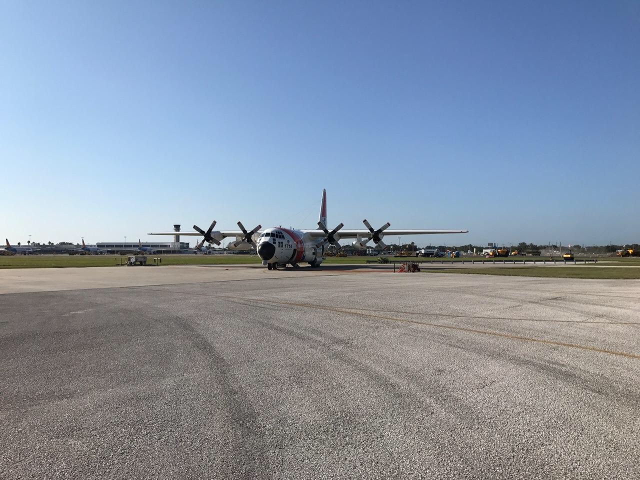
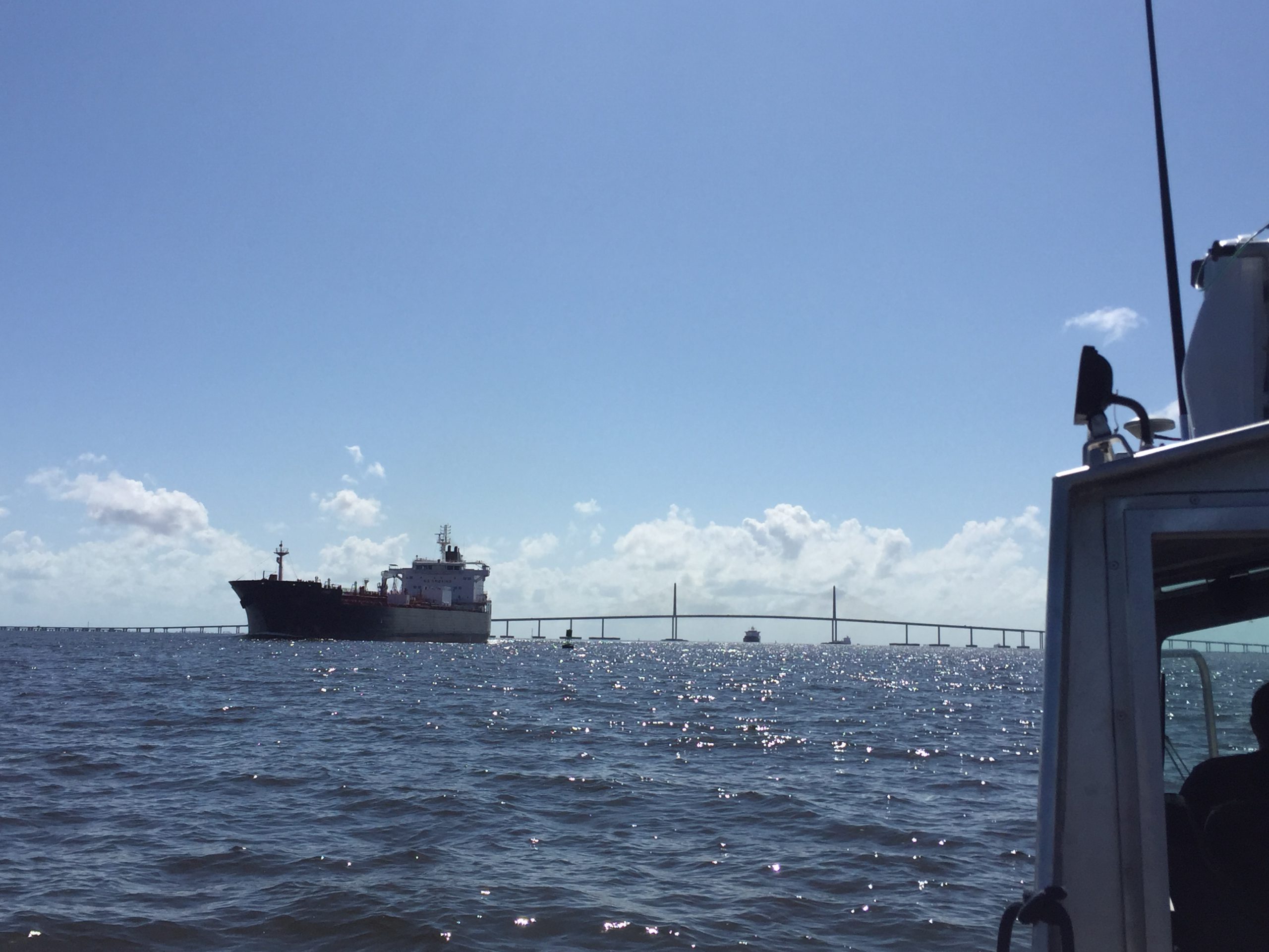
Just as Hurricane Harvey response was wrapping up for some of NOAA Coast Survey’s navigation response teams (NRT), personnel and survey assets were positioned in preparation for the aftermath of Hurricane Irma.
For the NRTs, this meant traveling hundreds of miles with a survey vessel in tow, facing challenges such as locating fueling stations, finding available lodging, and finding opportunities to rest. For the mobile integrated survey team (MIST), which is available to travel anywhere in the U.S. when hydrographic survey assistance is needed by the U.S. Coast Guard (USCG) or U.S. Army Corps of Engineers (USACE), this meant finding transportation to a disaster area and a “vessel of opportunity” to survey from once there. Continue reading “NOAA helps ports recover in Georgia and Florida following Hurricane Irma”
NOAA positions personnel and survey assets in preparation for Hurricane Irma
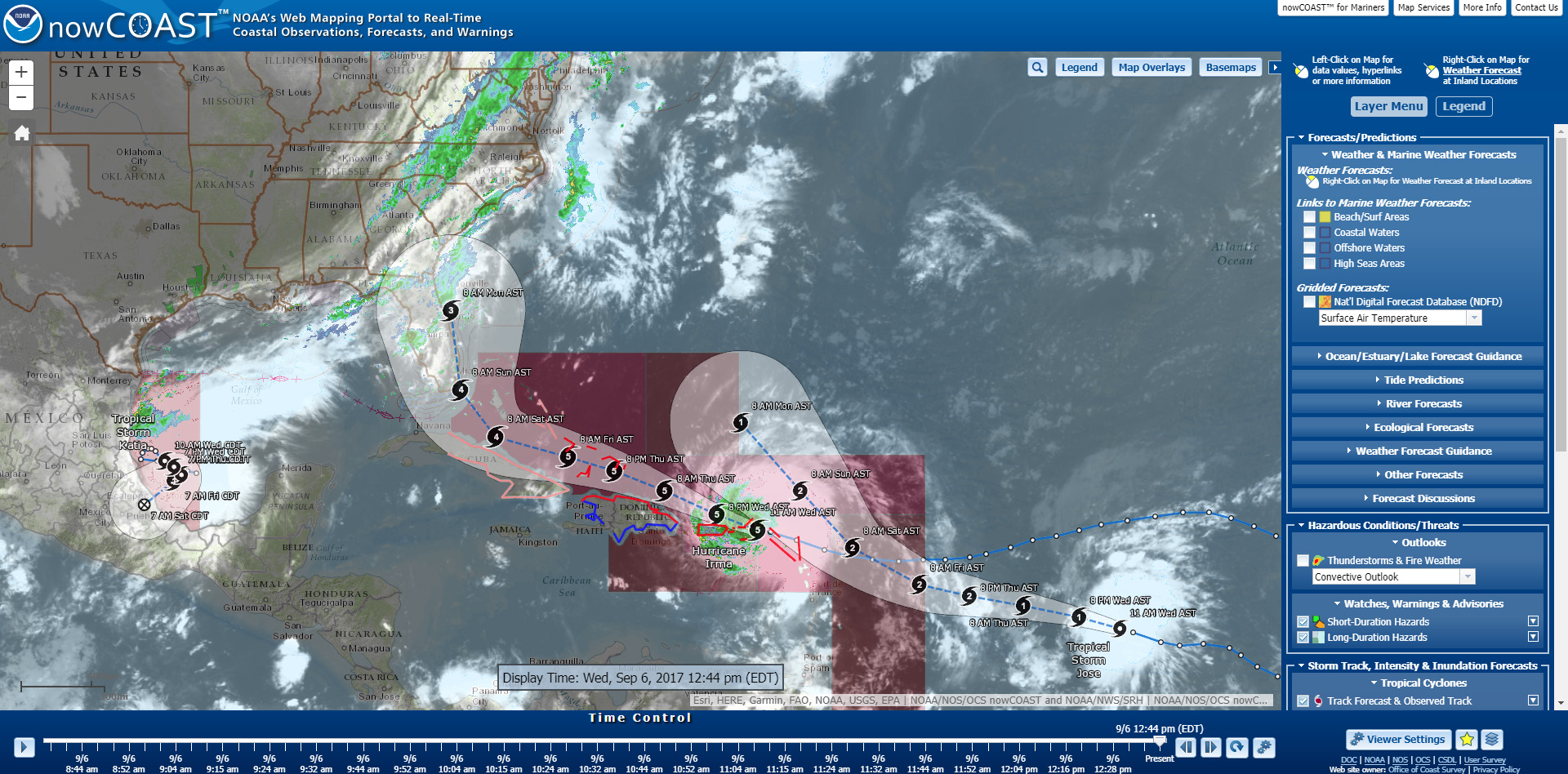
As Hurricane Irma approaches Puerto Rico as a Category 5 storm, NOAA is positioning personnel and hydrographic survey assets to help speed the resumption of shipping post storm. In the wake of a hurricane, NOAA’s personnel and survey assets provide essential information when ports need to quickly but safely re-open, limiting significant economic losses caused by prolonged disruptions to the maritime transportation system. Continue reading “NOAA positions personnel and survey assets in preparation for Hurricane Irma”
Coast Survey joins Florida to survey sensitive site
One of Coast Survey’s navigation response teams (NRT) recently responded to a request by the State of Florida, who needed help surveying a submerged prehistoric archaeological site located offshore of Sarasota County. Last week’s survey and investigation were necessary to map the full extent of the site and the surrounding area. Continue reading “Coast Survey joins Florida to survey sensitive site”
Coast Survey uses unmanned technology to find submerged danger to navigation
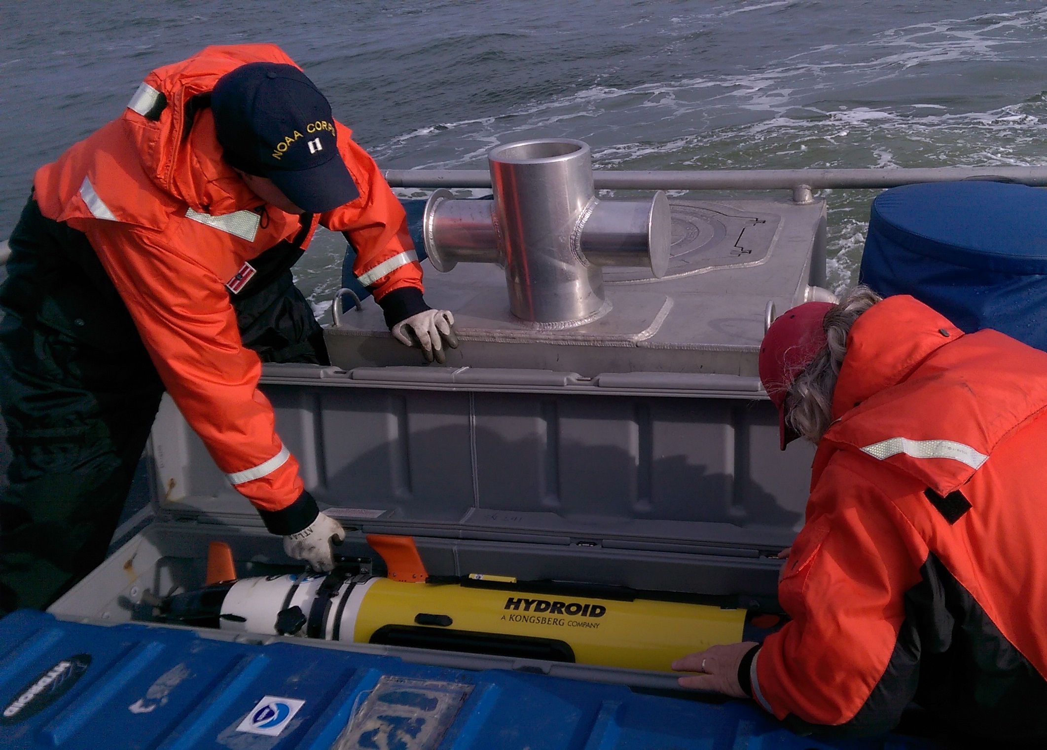
Coast Survey has been discovering and marking the locations of underwater dangers since our surveyors took the nation’s first official ocean soundings in 1834. We’ve used or developed all the technological advancements – lead lines, drag lines, single beam echo sounders, towed side scan sonars, and post-1990 multibeam echo sounders – and now we can point to a new major advancement for fast deployment and quick recovery. In February, Coast Survey’s Mobile Integrated Survey Team (MIST) used an autonomous underwater vehicle (AUV) to locate a submerged buoy that was interfering with anchorages in the Chesapeake Bay.
“You and the crew of the HASSLER put us right where we needed to be!” said a confirmation email from the U.S. Coast Guard to NOAA Lt. Ryan Wartick, one of Coast Survey’s navigation managers. “Thanks for the great work!”
Continue reading “Coast Survey uses unmanned technology to find submerged danger to navigation”
NOAA’s navigation assets complete primary post-Sandy assignments, remain available to assist
NOAA continues to work in partnership with other federal, state, and local partners in response to the devastation of Hurricane Sandy. NOAA’s efforts are focused on navigation surveys to restore maritime commerce; aerial surveys to assist in those efforts and to aid on-the-ground responders from FEMA and local authorities; and in oil spill cleanup and damage assessment. NOAA’s National Weather Service is also keeping authorities aware of changing weather conditions that could impact recovery and response efforts.
NOAA’s hydrographic survey vessels, including two three-person navigation response teams (NRTs) and the NOAA Ship Thomas Jefferson with her two survey launches, have completed surveys of the Port of New York and New Jersey. Working over the past five days, the high-tech vessels searched approximately 20 square nautical miles of shipping lanes, channels, and terminals to search for dangers to navigation.

Continue reading “NOAA’s navigation assets complete primary post-Sandy assignments, remain available to assist”
Surveys continue in Port of New York / New Jersey, completed in Virginia
Coast Survey’s major survey operations in response to Sandy are completed in Port of Virginia, allowing port operations to resume. That timely resumption is proving to be vital for East Coast shipping, as the port is now receiving cargo diverted from the Port of New York and New Jersey. Associated Press is reporting that more than a thousand containers were offloaded in Virginia yesterday, with more on the way.
Meanwhile, critical survey work continues in the Port of New York and New Jersey, with two of Coast Survey’s navigation response teams (NRT) and two of the Thomas Jefferson launches continuing their search for dangers to navigation in shipping channels and terminals. Today, the high tech survey boats attached to the Thomas Jefferson surveyed the East River, as the ship processes data for delivery to the Coast Guard. One of the boats then went to survey Church Hill Channel this afternoon, while the other went to Gravesend Bay. NRT 2 is surveying Port Elizabeth and Port Newark in Newark Bay. NRT 5 surveyed Kill Van Kull and then proceeded to Author Kill.
Continue reading “Surveys continue in Port of New York / New Jersey, completed in Virginia”
NOAA Ship Hassler starts post-SANDY survey of deep draft routes to Hampton Roads and Baltimore

NOAA’s newest survey ship, the Ferdinand R. Hassler, began survey operations today in support of the U.S. Coast Guard efforts to re-open the Port of Virginia. Hassler was in port at NOAA’s Marine Operations Center – Atlantic in Norfolk, Virginia, for maintenance when Hurricane Sandy affected the area. The ship’s crew spent Monday completing the work and system tests necessary to get underway once the storm passed, and has now been returned to limited operational status.
Continue reading “NOAA Ship Hassler starts post-SANDY survey of deep draft routes to Hampton Roads and Baltimore”
NOAA deploys personnel and survey assets to speed resumption of shipping after Sandy – Update 29 Oct

As conditions go downhill, NOAA is deploying personnel and hydrographic survey assets to help speed the resumption of shipping after SANDY clears out.
Coast Survey has deployed navigation managers from outside Hurricane Sandy’s areas of impact, supplemented with headquarters personnel, moving them to areas expected to be hit hard. Navigation managers are now at U.S. Coast Guard Incident Command Centers for New York – New Jersey and for Delaware Bay. We are also working with Coast Guard Captains of the Port for Virginia, Baltimore, and New England. NOAA’s navigation managers are working with the Coast Guard and the Army Corps of Engineers to coordinate deployment of NOAA’s navigation response teams (NRT) for rapid maritime response. They are also identifying vessels of opportunity, for potential use with Coast Survey’s mobile survey team (MIST).
Continue reading “NOAA deploys personnel and survey assets to speed resumption of shipping after Sandy – Update 29 Oct”
NOAA pre-positions survey assets for SANDY maritime response
As Hurricane SANDY heads north along the Atlantic coast, NOAA’s Office of Coast Survey is deep into preparations for maritime rapid response. Two objectives stand out: move navigation response personnel and assets into position to move quickly once SANDY moves out; and batten down survey vessels, to protect them from storm damage.
Coast Survey regularly responds to requests for quick navigation surveys after storms and other damaging events, pulling vessels from their normal survey schedules and deploying them to ports that need hydrographic surveys before they can resume full-fledged shipping.
Continue reading “NOAA pre-positions survey assets for SANDY maritime response”

