NOAA hosts 2019 Nautical Cartography Open House and Chart Adequacy Workshop

Sean Legeer shows a digital cartography display to visiting students.

Last week, NOAA’s Office of Coast Survey held its third annual Nautical Cartography Open House welcoming over 250 attendees from the U.S. and abroad. Government agencies, industry and academic partners, and members of the public attended. The open house featured posters, presentations, tours, and exhibits centered around four themes: Bathymetric Databases, Custom Charting, Innovative Cartography, and Precision Navigation. Dr. Shachak Pe’eri, organizer of the event and chief of the Cartographic Support Branch in the Marine Chart Division, welcomed attendees in the morning and John Nyberg, chief of the Marine Chart Division, gave the keynote speech.

Continue reading “NOAA hosts 2019 Nautical Cartography Open House and Chart Adequacy Workshop”

NOAA completes hydrographic surveys following Hurricane Barry

Lt. j.g. Patrick Lawler and Lt. j.g. Michelle Levano remove the side scan sonar from the water.

By Lt. j.g. Michelle Levano

Seven tropical cyclones in the Atlantic Ocean have been named Barry, with the first storm making landfall in 1983. In 2019, Hurricane Barry reached Category 1 status on July 13, becoming the first hurricane of the 2019 season. 

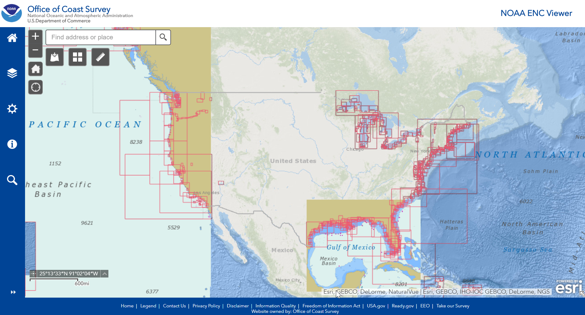
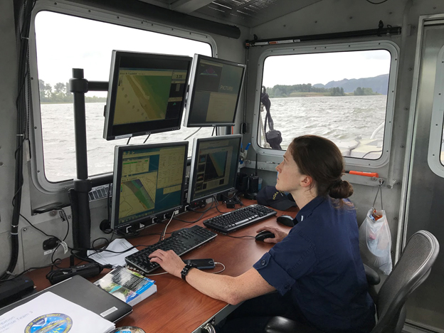
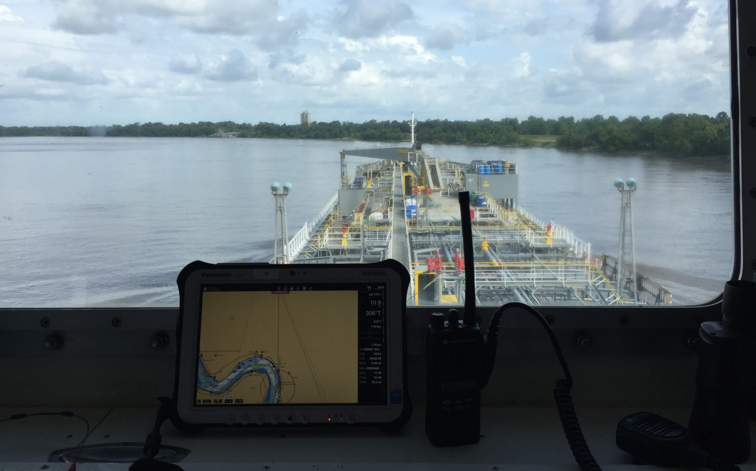
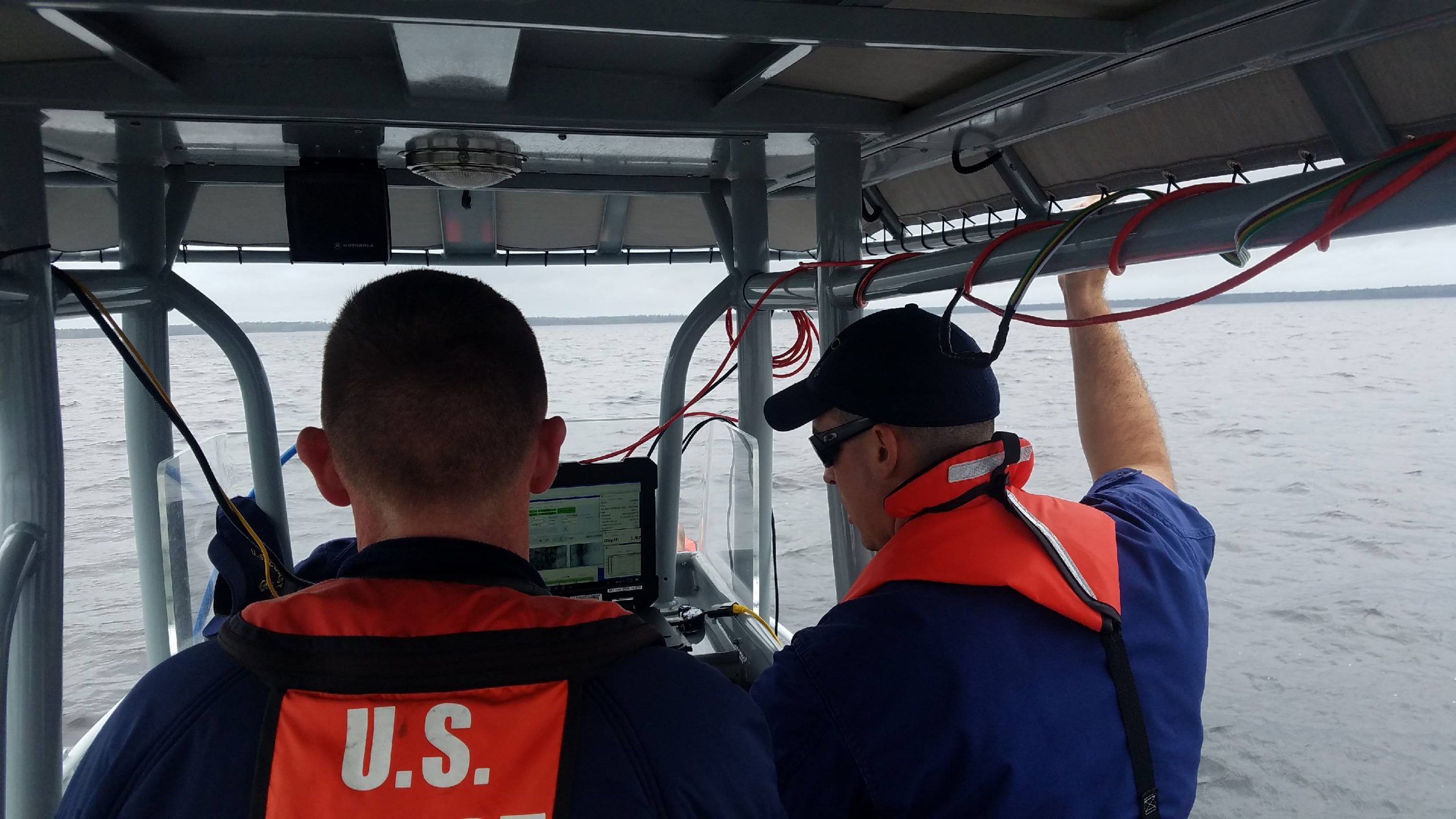
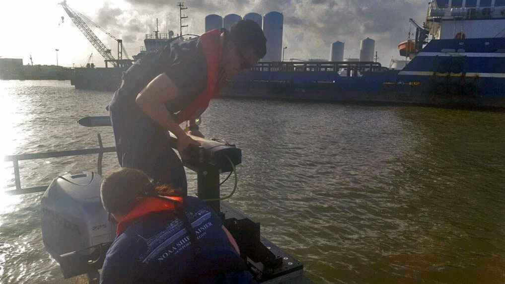
On July 11, Office of Coast Survey’s Gulf Coast Navigation Manager, Tim Osborn, received requests from U.S. Coast Guard, U.S. Army Corps of Engineers, and local ports for resources to confirm navigational depths in Louisiana waters. Once a navigation manager receives requests for hydrographic surveys, Coast Survey formulates logistics to complete these requests. In the case of Hurricane Barry, Coast Survey’s navigation response team (NRT)- Stennis mobilized to respond to Port Fourchon, Louisiana’s southernmost port. Port Fourchon supports significant petroleum industry traffic coming in from the Gulf of Mexico, furnishing about 18% of the U.S. oil supply

Continue reading “NOAA completes hydrographic surveys following Hurricane Barry”

A dynamic river calls for dynamic collaborations

Lt. j.g. Shelley Devereaux monitors survey collection near Price Island on the Columbia River.

By Lt. j.g. Michelle Levano, Officer in Charge, Navigation Response Team-Seattle

Navigation response team (NRT)-Seattle continued hydrographic survey work on one of the West’s most relentless rivers, the Columbia. The Columbia River is the lifeblood of the regional economy, expanding far beyond the natural divide it provides between the states of Oregon and Washington.

Continue reading “A dynamic river calls for dynamic collaborations”

Register for NOAA Nav-cast webinar – S-100 for System Implementers

NOAA Nav-cast announcement for S-100 System Implementers presentation

Join us for our first NOAA Nav-cast, a quarterly webinar series that highlights the tools and trends of NOAA navigation services.

S-100 for System Implementers
Learn about the S-100 Universal Hydrographic Data Model and what navigation system developers need to know in order to implement various S-100 based product specifications. Also, gain insight into NOAA’s work in the S-100 product development space for S-111 surface currents. 

Date and time: Tuesday, June 18, 2019 at 11 a.m. (EDT)
How to register: https://attendee.gotowebinar.com/register/7354579801420345345

Continue reading “Register for NOAA Nav-cast webinar – S-100 for System Implementers”

Centennial anniversary of aerial surveying and mapping

By Kevin Mackenzie

A year after Coast and Geodetic Survey (C&GS) Director Ernest Lester Jones returned from World War I, he took the Survey’s mission to the sky. From his time in war, Jones understood the advantages that airplane photography had for locating military features of the enemy. In his 1919 annual report to Commerce Secretary William C. Redfield, he noted, “The same principle employed in the military work can be used in surveying and mapping.” The following months would produce a series of tests and research in cooperation with the Air Services of the Army and Navy.

Continue reading “Centennial anniversary of aerial surveying and mapping”

NOAA releases 2019 hydrographic survey plans

NOAA Hydrographic Survey Projects 2019 story map cover

NOAA’s Office of Coast Survey is the nation’s nautical chartmaker, and maintains a suite of more than a thousand nautical charts. Coast Survey is responsible for charting U.S. waters and Great Lakes covering 3.4 million square nautical miles (SNM) of water and 95,000 miles of coastline.

NOAA’s hydrographic survey ships along with hydrographic contractor vessels, recently kicked off the 2019 hydrographic survey season. These surveys not only update the suite of nautical charts, but also help to maintain the safety of maritime commerce, recreational boaters, natural ecosystems, and much more. Operations are scheduled for maritime priority areas around the country and are outlined in Coast Survey’s “living” story map. Here is a list of where they are headed this year:

Continue reading “NOAA releases 2019 hydrographic survey plans”

NOAA encourages all mariners to use NOAA ENC® for latest updates and other advantages

ECDIS display on the bridge of a tanker ship.

NOAA’s Office of Coast Survey maintains a suite of over 1,000 NOAA electronic navigational charts (ENC) and paper nautical charts, and like many other chart producing nations, maintains an ENC focused production process called “ENC-first.” That is, ENCs are the “first” or primary nautical product, and new data is compiled onto ENCs before all other products.

Continue reading “NOAA encourages all mariners to use NOAA ENC® for latest updates and other advantages”

U.S. Coast Pilot® now contains Navigation Rules

NOAA recently announced that all nine United States Coast Pilot®  volumes now contain the U.S. Coast Guard International Regulations for the Prevention of Collisions at Sea (72 COLREGS) and the Inland Navigation Rules — commonly known as the “Rules of the Road.” The navigation rules are similar to rules on the highway as they present a consistent way to navigate safely and avoid collisions. Having the newly published Coast Pilot now fulfills the legal requirement for mariners to maintain a copy of these regulations on board.

Continue reading “U.S. Coast Pilot® now contains Navigation Rules”

NOAA Improves Etolin Strait Data with New NOAA ENC® Layout

Etolin Strait survey area and reschemed grid

NOAA recently released 13 new large-scale electronic navigational charts (NOAA ENC®) of Etolin Strait, Alaska. These charts provide a nearly twenty-fold increase in scale over the previous ENC coverage. New Etolin Strait hydrographic surveys and the resulting ENCs served as a pilot project for the overall rescheming of the entire NOAA ENC suite with a regular, gridded layout for ENC charts, as outlined in NOAA’s National Charting Plan. No corresponding NOAA raster nautical chart products in Etolin Strait will be produced. This is in keeping with Coast Survey’s “ENC-only” production concept, which generally maintains the current raster chart product coverage, but only creates new larger scale coverage in the ENC product line.

Continue reading “NOAA Improves Etolin Strait Data with New NOAA ENC® Layout”