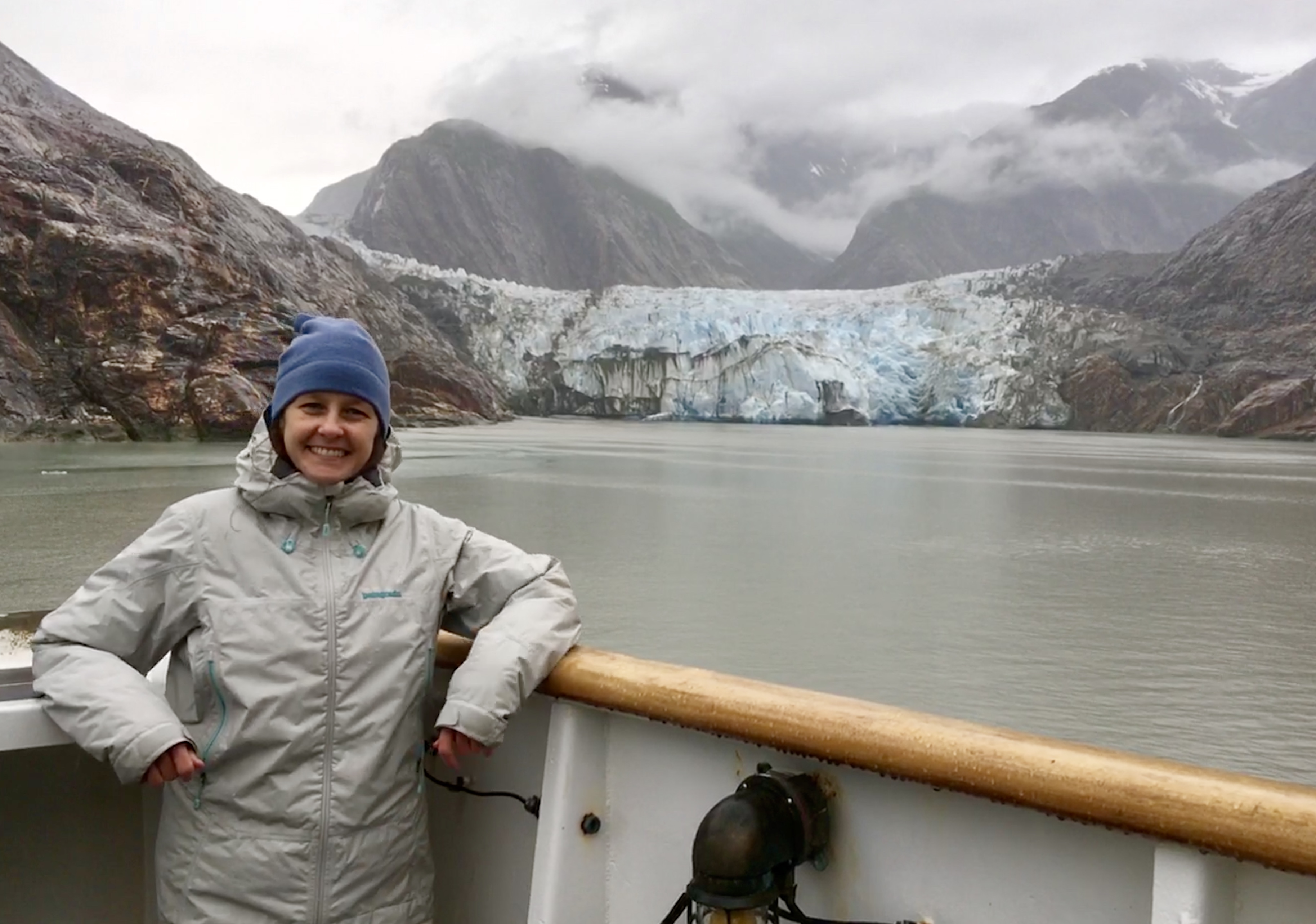
Ever wonder what it’s like to be a member of the NOAA Coast Survey team? We use the Coast Survey spotlight blog series as a way to periodically share the experiences of Coast Survey employees as they discuss their work, background, and advice.
Martha Herzog, Physical Scientist
“…collecting the most accurate and up-to-date seafloor data to create nautical charting products is essential for ensuring public safety, commerce, and preventing human and environmental catastrophes.”

What is your job title, and how long have you worked for Coast Survey?
I have been a physical scientist for Coast Survey since 2005. I began with the Pacific Hydrographic Branch in Seattle, Washington, where I performed quality analysis on hydrographic data, cartographically compiled this data in preparation for chart application, and sailed on our hydrographic vessels acquiring and processing data as well as training shipboard personnel in performing data quality control. In 2017, I started working in the Operations Branch in Silver Spring, Maryland, where we plan and define the specifications and requirements for hydrographic surveys.
What were your experiences prior to working for Coast Survey?
Prior to Coast Survey, I was a cartographer in the Remote Sensing Division of the National Geodetic Survey compiling shoreline data from aerial and satellite imagery for nautical charts. I also worked at the U.S. Geological Survey studying bluff erosion and shoreline stability.
What is a day in your job like?
Planning for and conducting work at sea is challenging, so flexibility is key. While you may have considered all risks and environmental factors and built contingencies into your plans, poor weather or equipment malfunction can throw a wrench into those plans. Any given day I may be researching, using GIS to visualize data, coordinating and monitoring projects, reviewing plans and documents, creating and giving presentations, communicating with our hydrographic ships, training others, learning something new, or even working on a ship.
Why is this work important?
One of the most common questions that I get is, “do you find shipwrecks?” Of course, but discovering wrecks also means someone had a very bad day and lives may have been lost. Planning where to survey and then collecting the most accurate and up-to-date seafloor data to create nautical charting products is essential for ensuring public safety, commerce, and preventing human and environmental catastrophes.
What aspects of your job are most exciting or rewarding to you?
Hydrography is constantly evolving with new technology and new ways of handing and processing data, meaning there always is something new to learn. Everyone puts in 110% whether they are in the office or at sea, and I have complete confidence the best data has been put through to our charts and is available for other scientific applications.
What advice would you give someone looking to pursue a career in your field?
Hydrography blends science and physical geography into one. You can never go wrong pursing science and understanding tools such as GIS to visualize and communicate data.

