NOAA’s Office of Coast Survey, United States Coast Guard (USCG) Sector Honolulu, State of Hawaii Department of Transportation and United States Army Corps of Engineers (USACE) Honolulu Division established a memorandum of understanding (MOU) outlining each signatory’s area of responsibility in the event of a disaster in the Hawaii region. The intent of the MOU is to improve the efficiency and effectiveness of response efforts and speed the reopening of the ports and waterways following an emergency.
“Hawaii’s supply chain is reliant on the maritime transport of goods. NOAA’s Office of Coast Survey plays an important role in not only charting but all preparedness and resilience in the event of an emergency disaster,” said Rear Adm. Shepard Smith, director of the Office of the Coast Survey. “Our navigation managers work with maritime stakeholders to strengthen relationships in these critical areas, and this MOU is a result of that work.”
Given the remoteness of the islands and lack of hydrographic surveying resources year round, this is an important step in regional preparedness for disasters such as a hurricane or tsunami. The MOU defines Coast Survey’s role with the mobile integrated survey team (MIST) and in providing personnel and expertise for conducting hydrographic surveys to re-open ports. Objectives outlined in the MOU include expediting the restoration and reopening of domestic ports and waterways, assuring timely and effective action to provide safe navigation to the maritime community, ensuring effective communication and coordination between state and federal agencies, and developing procedures and priorities for deployment of resources where assets are required in emergency or disaster events.
“Hawaii relies greatly on its ports for delivery of day-to-day items and a closure would significantly impact the general public. Having a plan in place to survey commercial harbors in the region will aid in community recovery after a disaster,” said Crescent Moegling, NOAA’s Northwest and Pacific Islands navigation manager.
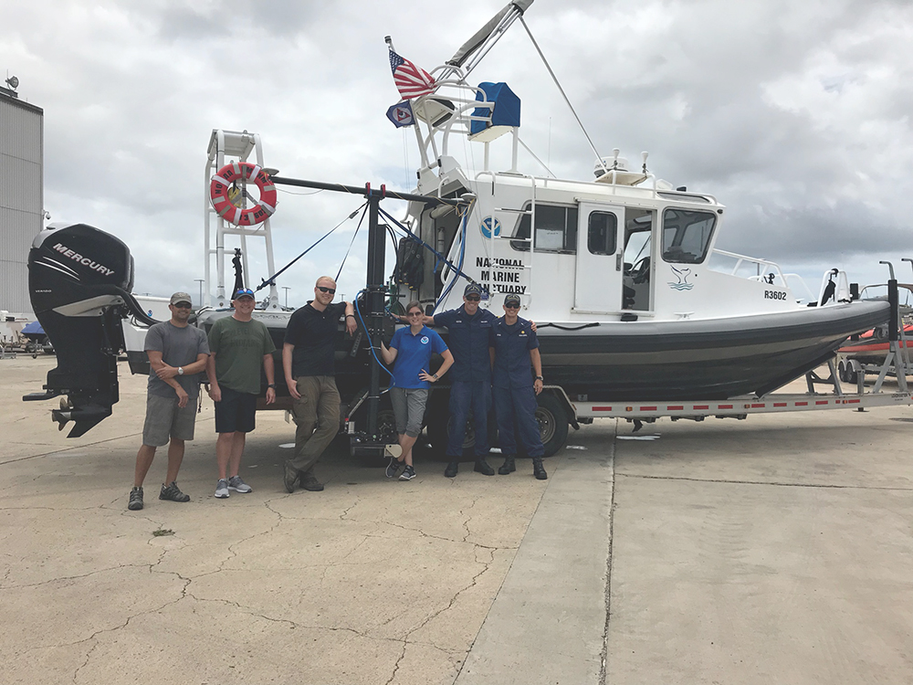
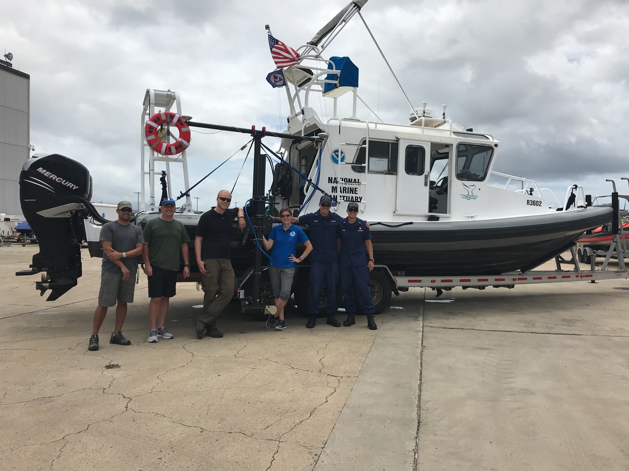
Hurricane Lane, a Category 4 storm that struck the Hawiian islands in August of 2018 was the impetus for this agreement. In preparation for Lane making landfall, Coast Survey prepositioned personnel and the MIST kit on Oahu. The navigation manager was embedded with USCG Sector Honolulu Marine Transportation System Recovery Unit to assist with port survey prioritization and provide information on the status of NOAA’s survey assets and their readiness following the storm. The MIST installed a multibeam echo sounder on a vessel from the local Office of National Marine Sanctuaries, and provided high resolution depth information throughout the Honolulu Channel following the storm.