
Prototype data for surface current forecasts in the International Hydrographic Organization (IHO) S-111 format is now available for testing through the NOAA Big Data Program. In June, NOAA announced that we were preparing surface current forecast data for dissemination trials. Now that these data are available, industry can integrate these prototype data into different types of navigation software systems such as portable pilot units and under keel clearance systems. By making these data more accessible, more machine-to-machine readable, and more integrated, NOAA aims to amplify the power of our navigation data for users across the maritime industry.

In order to achieve this goal, the Precision Marine Navigation program developed a prototype data processing and dissemination system in the public cloud to ingest, process, and disseminate NOAA hydrographic, bathymetric, oceanographic, and weather data via IHO S-100 framework compliant datasets.
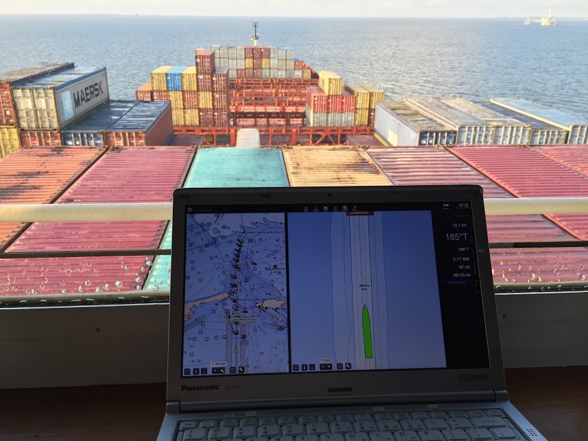
The S-111 Surface Current forecast guidance is the first data service that NOAA has released in the new S-100 standard. The initial data includes forecast guidance of surface water currents extracted from oceanographic forecast modeling systems (OFS) for 15 models as well as small scale coverage of the Atlantic and Pacific Basin using data derived from the Global RTOFS model. The data is being automatically processed and uploaded to the NOAA Big Data Program four times a day (every six hours). While this data is still in prototype form it is not intended for navigation use.
NOAA has developed a number of fact sheets for software developers with information on how to find and use this newly formatted data which can be found at the end of this post. We hope that industry will use the resources provided to start accessing the data and provide feedback so that NOAA can improve the dissemination system and incorporate these changes as we start to include other data services such as S-102 bathymetric surface tiles, S-104 Water Levels, or S-41x marine weather hazard overlays.
NOAA is collecting feedback through the NOAA ASSIST tool. In your comments please mention Precision Marine Navigation so that it is properly flagged for us.
Data Links
- Data Registry: https://registry.opendata.aws/noaa-s111/
- Read me: https://noaa-s111-pds.s3.amazonaws.com/README.html
- S3 Data Explorer: https://noaa-s111-pds.s3.amazonaws.com/index.html
Dear Madam/Sir
During US Hydro it was presented that you have a pilot with the S-102 and the S-104 charts.
We would be interested to test some of these charts in QASTOR (https://qps.nl/qastor/), our Pilotage Software.