
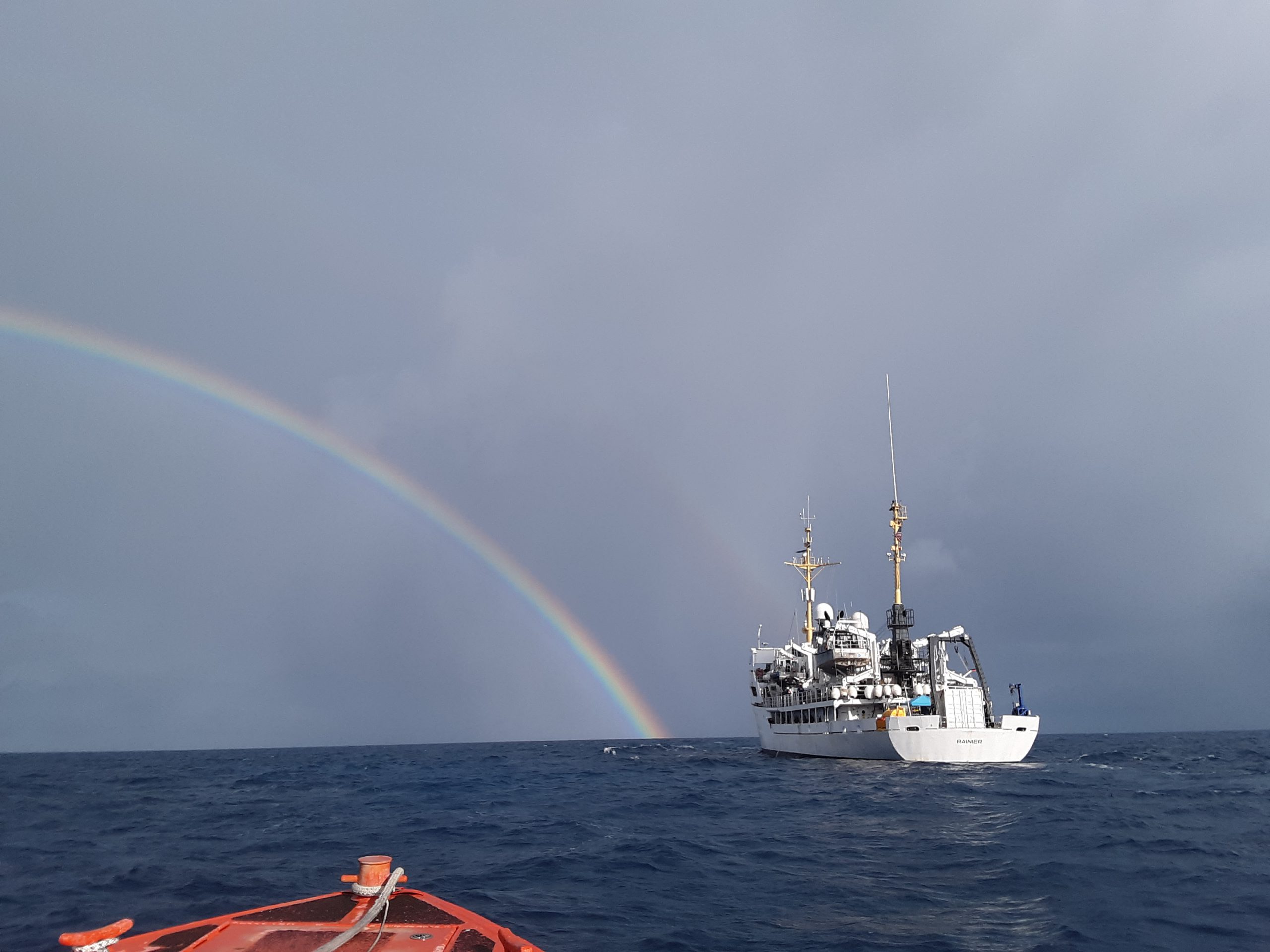
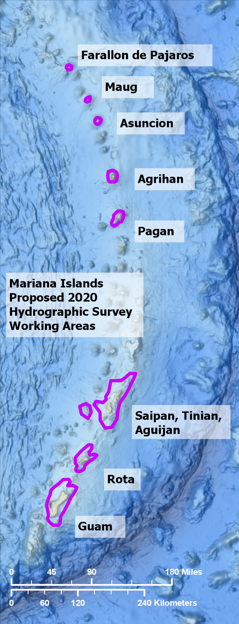
In three weeks, NOAA Ship Rainier will depart on the farthest journey of its 52-year history as it embarks on a multidisciplinary mapping trip to the Western Pacific. Rainier and a diverse team of scientists on board will map the waters from shore to almost 2000 meters deep around Guam and the Commonwealth of the Northern Mariana Islands including Saipan, Rota, and Tinian. The data and observations collected will support safe navigation, coral habitat and fisheries conservation, and storm surge and tsunamis modeling. The data will also be made available to those at the local level and contribute to the larger national and global initiatives regarding comprehensive seafloor mapping.
“Rainier’s deployment to the Western Pacific is a model of a new way of mapping across multiple disciplines,” observed Rear Adm. Shepard Smith, director of Coast Survey, “It will serve as an example of mapping campaigns envisioned by the recent presidential memorandum on ocean mapping and the GEBCO Seabed 2030 project.”
Last field season, Rainier traveled to the Papahānaumokuākea Marine National Monument in the Northwest Hawaiian Islands to support diving operations for coral reef research. The appropriate equipment was integrated on board to conduct safe dive operations and ensure the vessel was multi-mission capable.
“The folks here on Rainier, along with our partners on this project, have put in a tremendous amount of work preparing for this mission,” said Cmdr. Sam Greenaway, commanding officer of Rainier, “This is really the first time we have tried to knit together the mapping, diving, and other activities so closely on one expedition, and the more we work on the details, the more it looks like all these pieces will fit nicely together. No doubt it is going to be a challenge to pull off, but the resulting data products are going to be an exciting showcase for what we can do.”
This year, the team will map bathymetry and backscatter, and characterize habitat, while simultaneously performing coral reef assessment dives and collecting other oceanographic observations. The ship data will be augmented by topo-bathy lidar collected under contract to NOAA’s Office of Coastal Zone Management.
Rainier is also planning to deploy drones to map the nearshore region. Structure from motion models will be constructed from the drone imagery to help assess habitat and provide valuable data for the nautical chart in areas of coastline that are notoriously dangerous and hard to acquire. In addition to divers, Rainier also plans to test unmanned underwater systems abilities to characterize the reefs from video.
“We look forward to conducting our annual coral reef assessment surveys aboard the Rainier, as this platform will not only allow us to maintain the Pacific RAMP’s 20-year time series, it also provides an opportunity to integrate these data with high resolution maps to better characterize critical habitats,” explained Dr. Jennifer Samson, Pacific RAMP program lead, “The resulting high quality habitat maps will serve as valuable tools to inform local, regional, and national survey designs, identify sites for additional protection or monitoring, and assist in prioritizing management actions.”
Local resource managers will use the data collected during this mission for their coral reef research and fisheries conservation efforts. Likewise, local mariners will benefit from the anticipated chart updates and improved navigation safety. While in the area, Rainier plans to conduct outreach activities to local communities including ship tours or shore-side talks about coral health and seabed characteristics.
To learn about NOAA’s complete 2020 hydrographic survey season, visit our story map.